Day Ski Trip
To Pogonia, Clover & Basin Lakes
.. by Jim R.
January 12, 2024
To Pogonia, Clover & Basin Lakes
.. by Jim R.
January 12, 2024
>> Click on images to access slightly larger sizes.<<<
|
|
Day Ski Trip
To Pogonia, Clover & Basin Lakes .. by Jim R. January 12, 2024 >> Click on images to access slightly larger sizes.<<< |
|
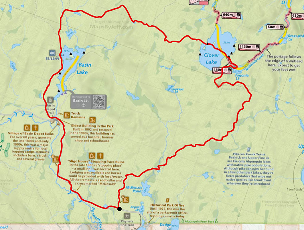
Our goal was to ski in to Pogonia Lake. In previous years we had undertaken springtime, day hikes from Basin Depot to Guthrie Lake and to Clover Lake by following remnants of old trails that are sometimes shown on older topographical maps. Those older trails are now intersected in places by logging roads. This winter there was almost no snow through the first week of January, but a snowfall at the start of the second week made this first cross-country ski trip of the season possible. Our planned route would take us from a starting point 1 km in from the Basin Lake access point, close to Argue Lake. From there we would head north to Pogonia Lake, and then travel the portage trail to Clover Lake. We planned to then bushwhack to find an old logging road that would bring us down to Basin Lake and Basin Depot. 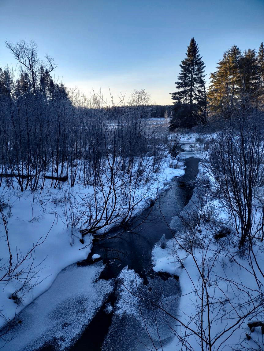 McKenzie Pond at sunrise The first hours of the trip involved a steady climb following a logging road that gradually narrowed to an overgrown trail. The trail skirted the edge of McKenzie Pond. Above the pond there were fresh signs of a large number of deer gathering in one area. Deer in this corner of the park tend to gather as the snow deepens. They then migrate to winter yarding areas around Round Lake and Lake Dore. It was a cold start to the day with a temperature of -18 C. at 8:30 AM 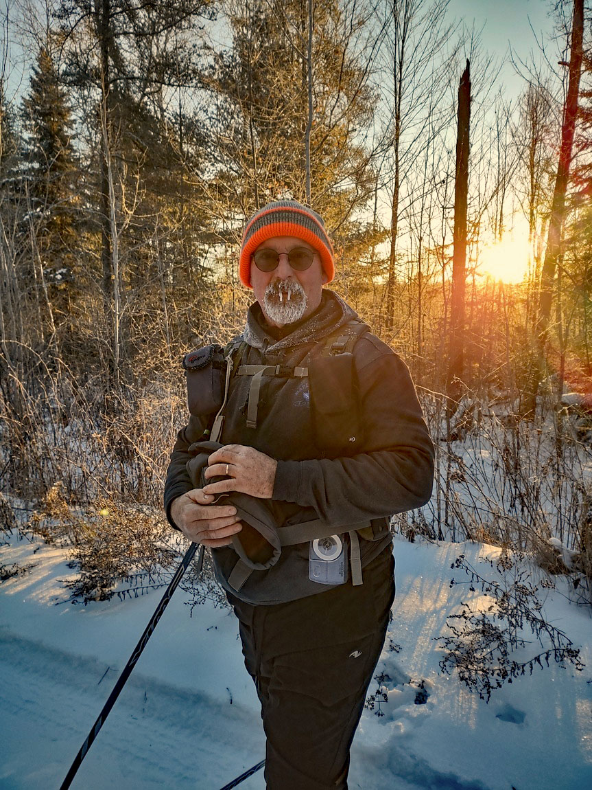 Doesn’t take long for a beard to freeze up. Travelling north, we were able to make good time, despite there being a crust on the snow to break through. 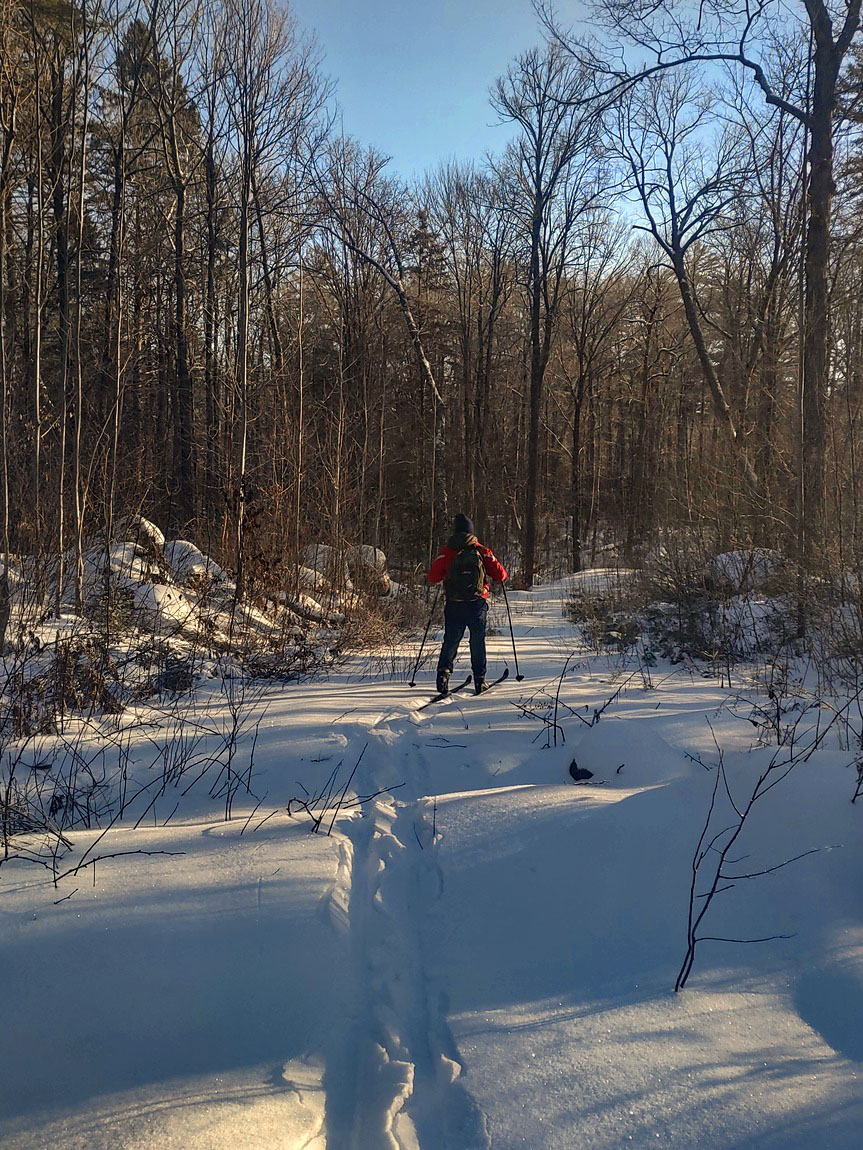 Old logging road for the first part of the journey The trail we were following curved under Pogonia Lake. Getting to the lake required carrying our skis and poles and bushwhacking 1 km through some dense bush of alders and deadfall. This was the slowest and most difficult part of the trip and it took a long time to cover that short distance. There is a long marshy area extending south from Pogonia but skiing across that terrain is not possible due to numerous streams that flow into and across the marsh creating deep ruts, and a boggy surface that does not completely freeze over. To avoid the marsh we kept to some higher ground to the west and then came down onto the edge of the marsh closer to the lake. 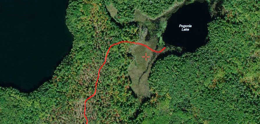 Our route to avoid the marsh. Courtesy of Fish ON-Line Seeing Pogonia in the distance was a welcome sight. While it probably meets the technical definition of a lake, Pogonia in some ways appears to be more of a large pond. 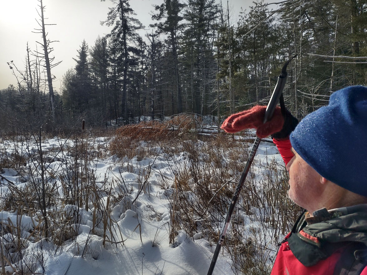  Marsh leading onto Pogonia Going onto the lake, we first checked the thickness of the ice. We chopped in 6 inches to confirm it was safe. There were fresh wolf tracks on the lake – a pack of 3 wolves, one of which left huge paw prints. They had crossed the lake either during the night or a few hours before us. The portage to Clover Lake is located along the treeline to the left in the following photo. 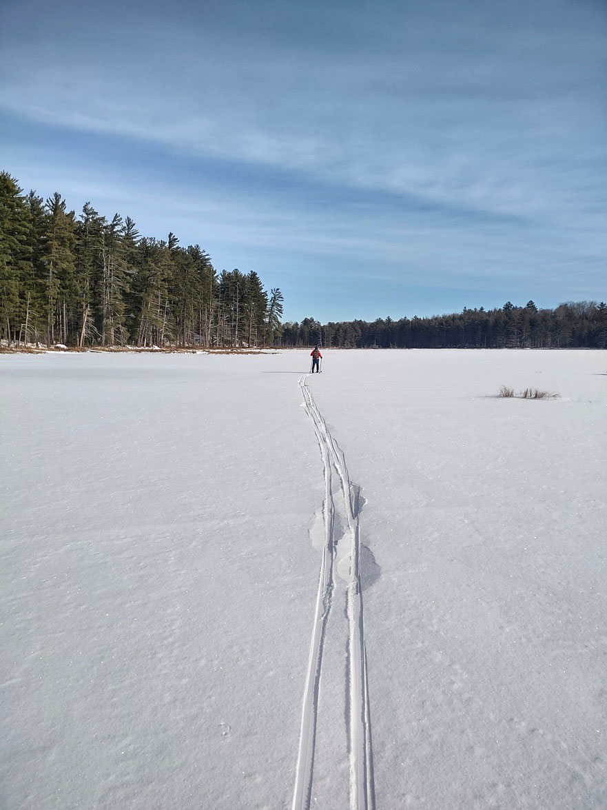 With snow covering the ground, the portage trail was not easy to make out. So, we simply took a compass reading and headed in a straight line through the bush. At a distance of 440 m it didn’t take long to get across to Clover Lake. 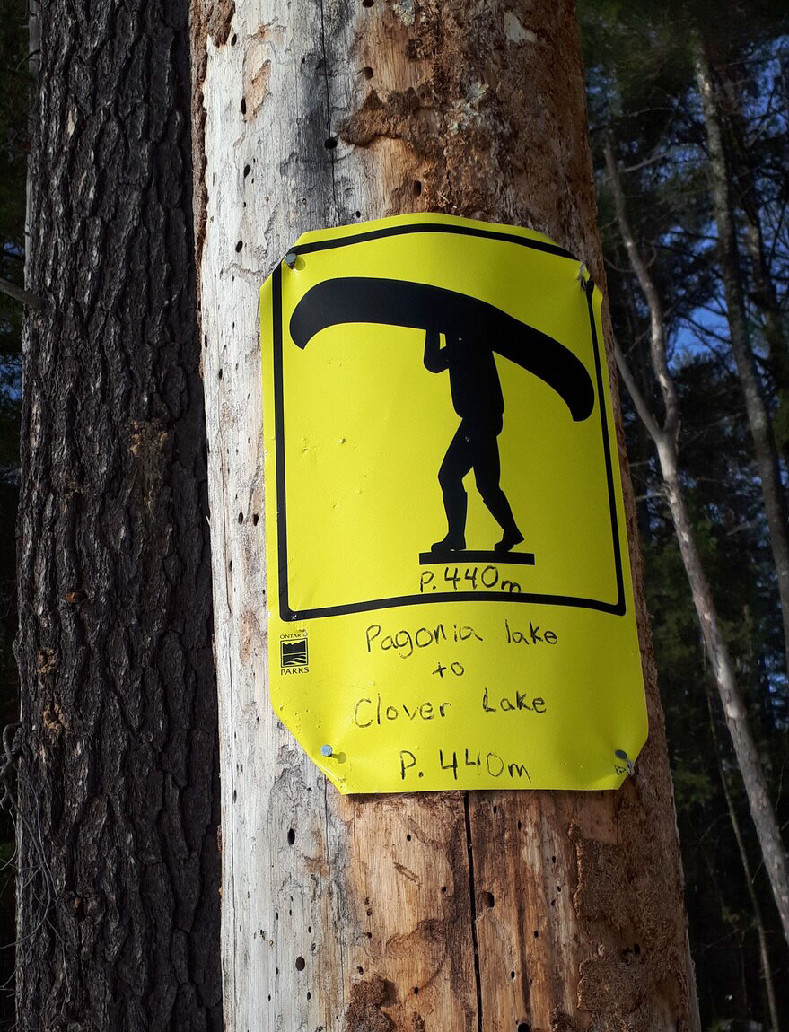 Onto Clover Lake -- we came out onto Clover just to our right of the portage. In the following photo we are looking west across Clover to a snow covered outcrop on the far shore, which is the site of one of two campsites on the west side of the lake. 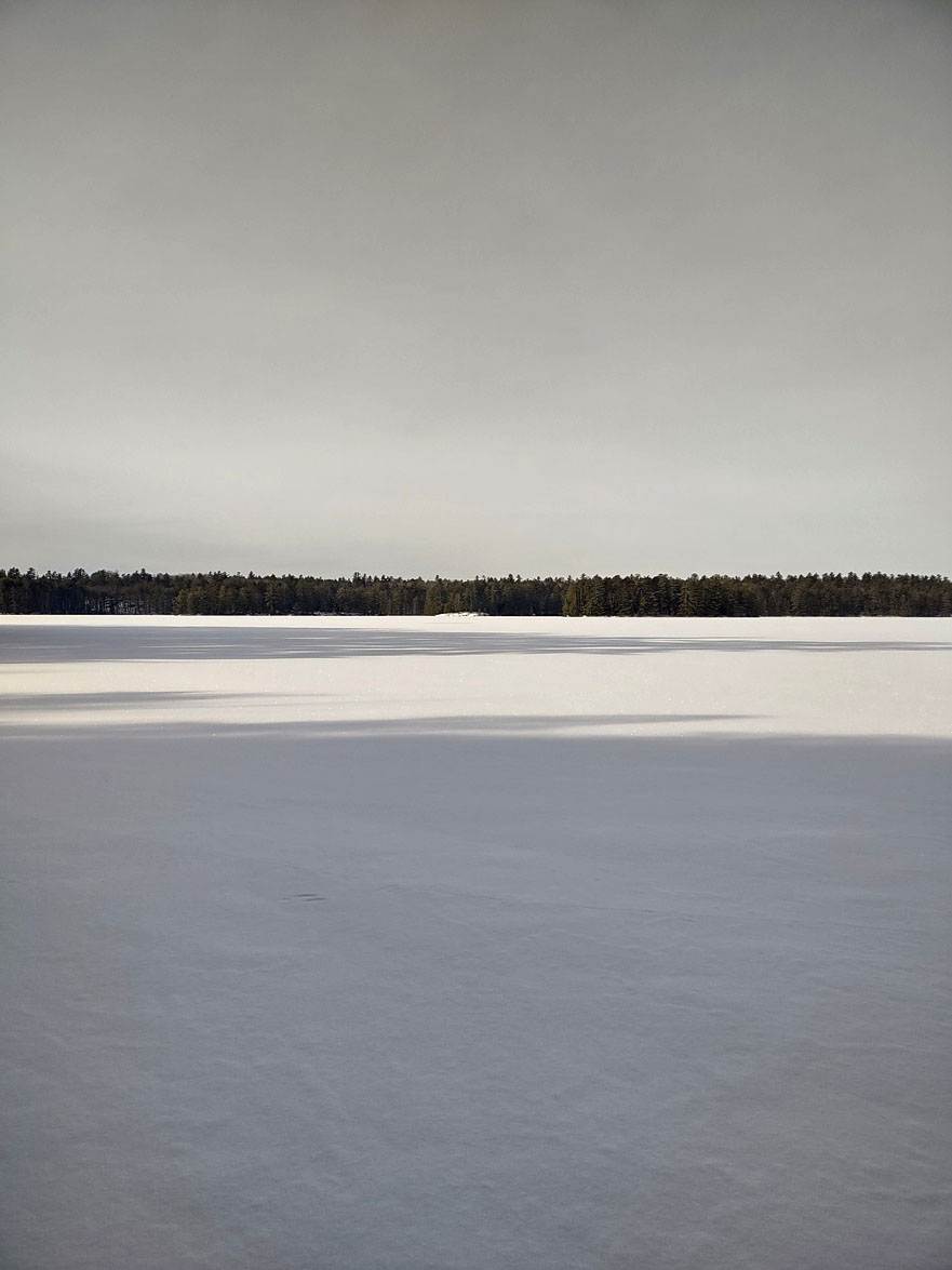 Lunch destination – rocky outcrop on the west side of Clover Four hours after starting out we arrived at the campsite on Clover. There are two islands on the lake; the smaller of the two is visible to the left in the photo.  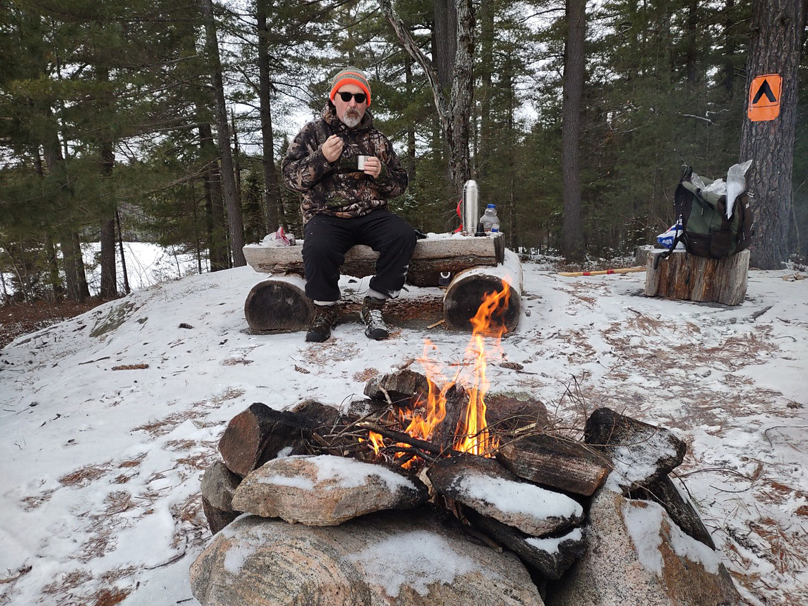 Lunch time … some fluid, food and the warmth of a fire were much appreciated We had hiked in to Clover Lake in the spring of 2021. The larger of Clover’s two islands is visible in the distance in the following photo, taken at the foot of the lake. The campsite we stopped at during this 2024 ski trip is located close to the far side of this larger island. 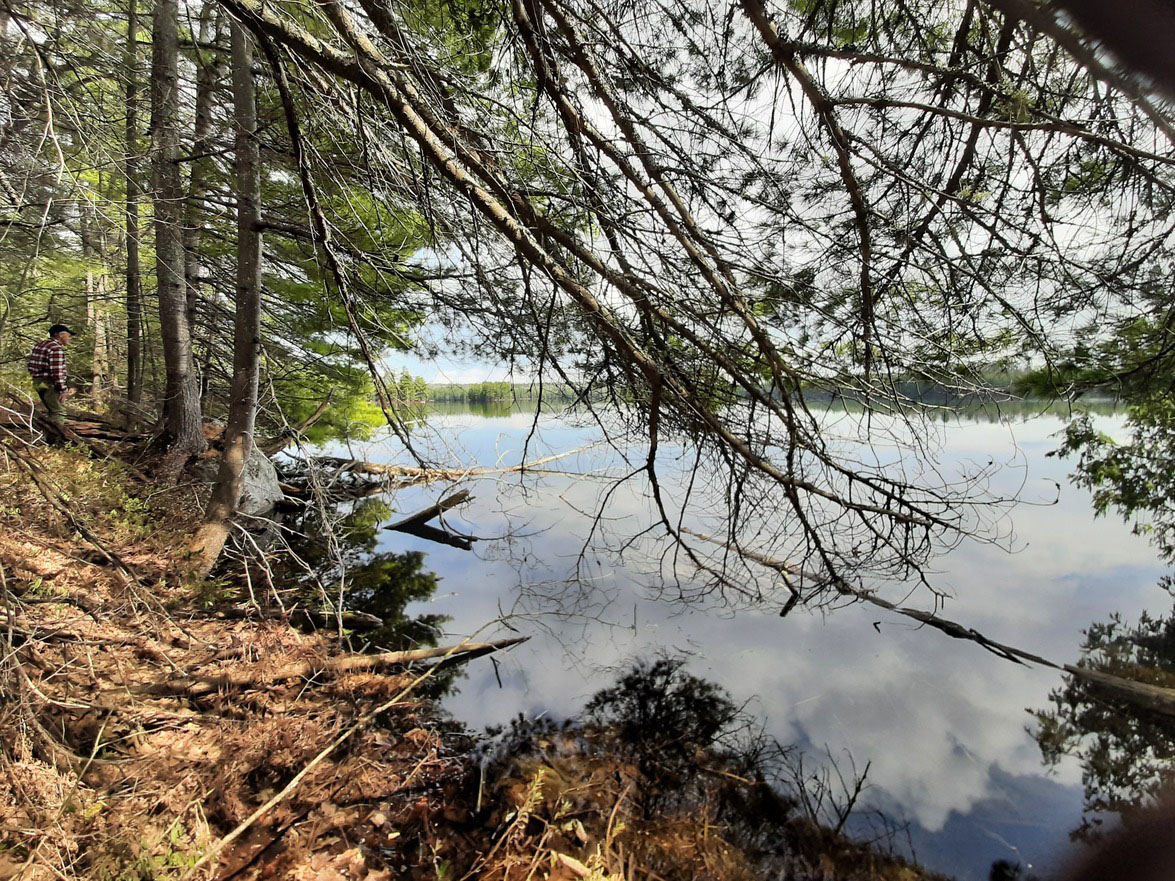 Leaving Clover meant bushwhacking for another 50 minutes to an old logging road, that eventually leads down to Basin Lake. Having hiked through this terrain in the spring of 2021, some of the features were familiar to us. As a result, we were able to cover the distance more quickly. The remains of the old, original trail that still appears on some maps is barely visible in a few places. For the most part it is now long overgrown. The entire journey, from the morning starting position to a point above Basin Lake, is uphill. The highest point on our route was just under 300 meters. From there, the trip involves a steep decline toward Basin Lake.  Reaching Basin Lake, one option would have been to ski across the lake to the campsites on the south shore and from there ski to Basin Depot. We chose to stay on the trail along the west side of the lake. From Basin Depot we skied along the Basin Lake Road for 4 km back to our starting point. 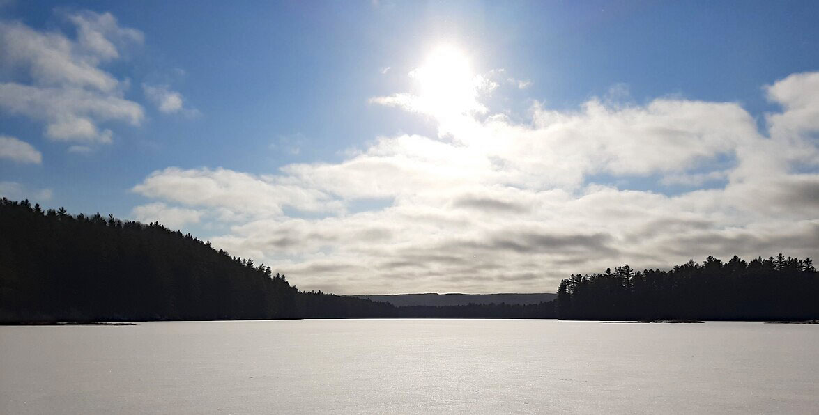 Basin Lake looking south This trip took us the entire day. It started at 8 AM and finished just after 5 PM, by which time darkness was setting in. The total distance travelled was 27.05 km. Not bad for two old fellas getting close to 70. The bushwhacking that was required made this a demanding and slow-in-sections trek. But the beauty of the land and the lakes, and the silence experienced in skiing through this isolated corner of the park make for a memorable experience.
 Some more stats … |