|
Updated Feb. 1, 2026 |
|||||||
|---|---|---|---|---|---|---|---|
|
|
|||||||
|
Backcountry Canoe Trip-log Inventory  The map (above) shows the numbered locations of Algonquin's twenty-nine access points. Off to the right are the corresponding access point names. After each access point name is the number of Internet trip-logs available, starting from that point. Individual access point names are linked to their corresponding trip-log links. If you publish or locate a new trip-log online, please e-mail its address (URL). Alternatively, you may submit you own trip-log in 'text' or '.doc' file format by e-mail with attached photo '.jpg' files. A trip-log should contain at least 10 photos with their longest dimensions being at least 1280 pixels. It is preferred that numerous larger photo image files be broken down into groups in a number of sequenced emails. If an email is 30 meg or larger, please send a separate 'notification' email since such oversized emails may get automatically held back in the "AA" email server. Also, please e-mail, if one of the inventory's links is nolonger active. |
1.Kawawaymog L. (10) 2.Tim River (17) 3.Magnetawan Lake (39) 4.Rain Lake (12) 5.Canoe Lake (57) 6.Smoke Lake (26) 7.Source Lake (7) 8.Cache Lake (14) 9.Rock Lake (39) 10.Sunday Creek (5) 10a.Sunday Lake Portage (5) 11.Opeongo Lake (46) 12.Pinetree Lake (6) 13.Galeairy L. (Whitney) (3) 14.Hollow R. - Dividing L. (3) 15.Kingscote Lake (8) 16.Hay Lake (3) 17.Shall (Crotch) Lake (33) 18.Aylen Lake (3) 19.Basin Lake (3) 20.Mallard (Sec) L. (3) 21.McManus Lake (2) 22.Grand Lake (Achray) (29) 23.Lake Travers (6) 23a.White Partridge Trail (7) 24.Big Bissett Lake (1) 25.Wendigo Lake (4) 26.North River (2) 27.Cedar Lake (Brent) (40) 28.Brain Lake (2) 29.Kioshkokwi Lake (Kiosk) (37) 30.Canisbay L. (extra) (2) |
Frontcountry Trip-log Inventory 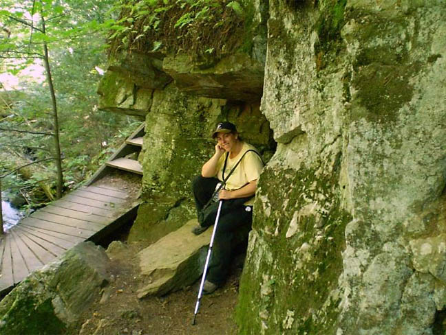 While AlgonquinAdventures.com has an emphasis on "backcountry camping", the experience of "frontcountry" drive-in campgrounds is a substantial part of the Algonquin Park experience ... offering many easy opportunities to actually go on day-trip explorations into the backcountry. ... Achray Campground With The Kids - Aug. 2009 If you publish or locate a new trip-log online, please e-mail its address (URL). Alternatively, you may submit you own trip-log in 'text' or '.doc' file format by e-mail with attached photo '.jpg' files. It is preferred that numerous larger photo image files be broken down into groups in a number of sequenced emails. Another way is to email an MSWord document file with the images already embedded within. If an email is 10 meg or larger, please send a separate 'notification' email since such oversized emails may get automatically held back in the "AA" email server. In is best to reduce original photo image files to 1280 pixels wide before including them in a trip-log submission Also, please e-mail, if one of the inventory's links is nolonger active. |
|||||