Day 1: Civilization
Oxtongue Lake to the Big East Delta. 49km 3 portages, 5 1/2km portaging.
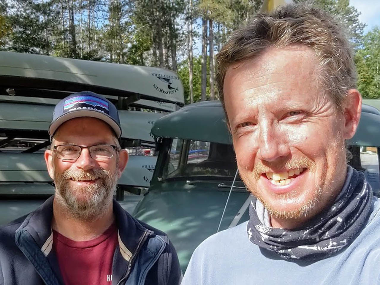
We spent the night before our trip in a Tent Cabin at Algonquin Outfitters on Oxtongue Lake. We arranged this through Gord Baker the manager of AO's Oxtongue store.
Gord is a canoe guru, keeper of the Link, and all round great guy. Make sure you connect with Gord before embarking on this trip. He can provide you with invaluable advice and support that will help you throughout the route.
Including a place to stay the night before you start! The other practical thing he and Huntsville store manager Nate Smith helped with, was giving us the opportunity to stash all our food and camping gear at the Huntsville AO location.
This way we could travel fast and light all day between Oxtongue and Huntsville. Good thing as this was a 50km day.
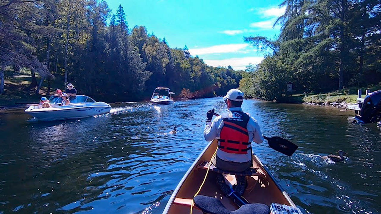
The first day of the Link was not my favorite. In fact, neither was day 2, 3, 4, or even 5. But more on that later. Day 1 goes through cottage country, and we were doing it on Labour Day weekend.
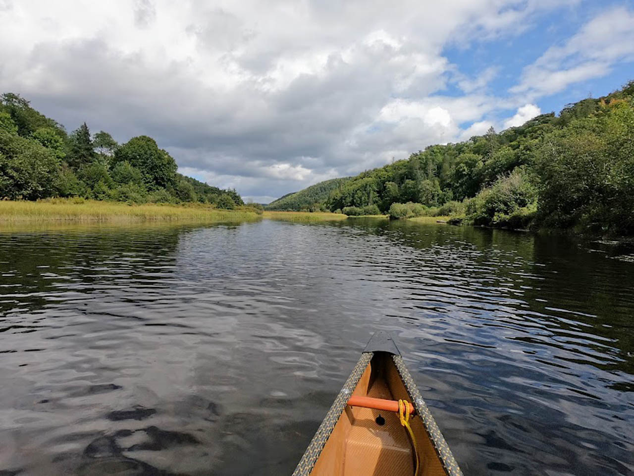
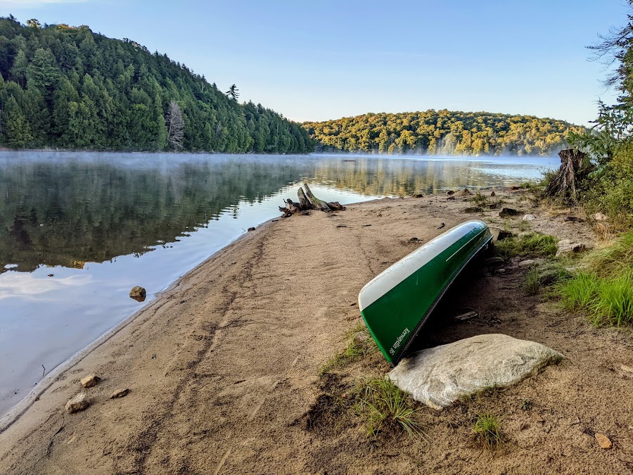
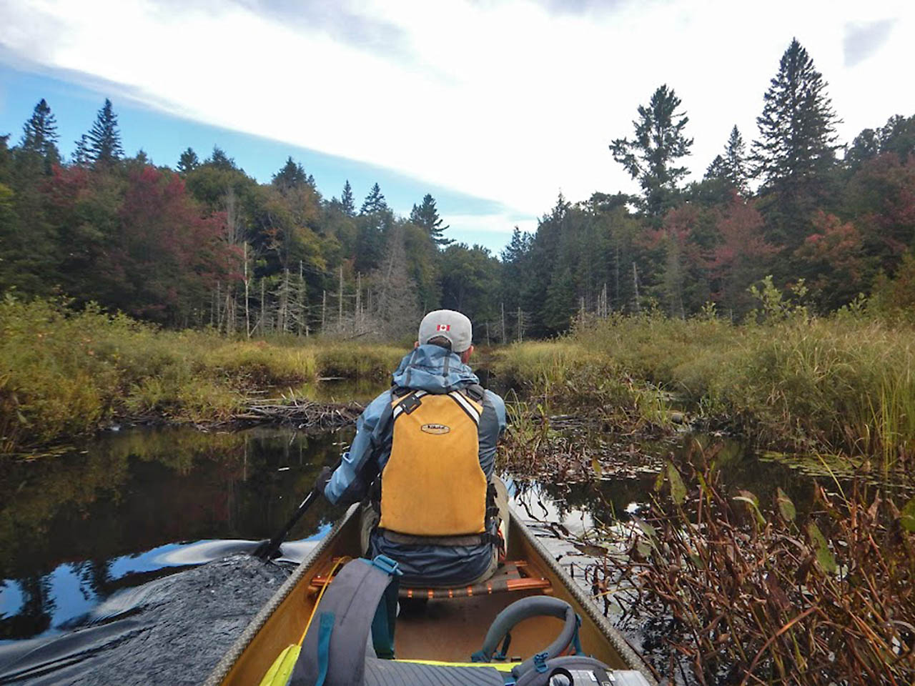
Ugh! The route starts on Oxtongue Lake, then goes down the Oxtongue River, which was very pretty despite the cottages that line its banks.
The Oxtongue River empties into Lake of Bays, then follows a path through Peninsula Lake, Fairy Lake, Huntsville, and Lake Vernon before you start paddling up the Big East River.
I don't have much to say about this part of the trip. It's straight forward. We were lucky enough to have great weather for the day with very little wind.
The only obstacles were Wake Boats, Jet Skis, Water Skiers and all-round Asshats and their offspring trying to make the most out of the last weekend of Summer.
I will never ever paddle a canoe on any of these lakes again and I don't recommend anybody does. My general impression of Muskoka cottage owners after this trip is that they are mostly entitled a**holes.
If you are one of these entitled a**holes, and for some reason you read this and take offense, good!
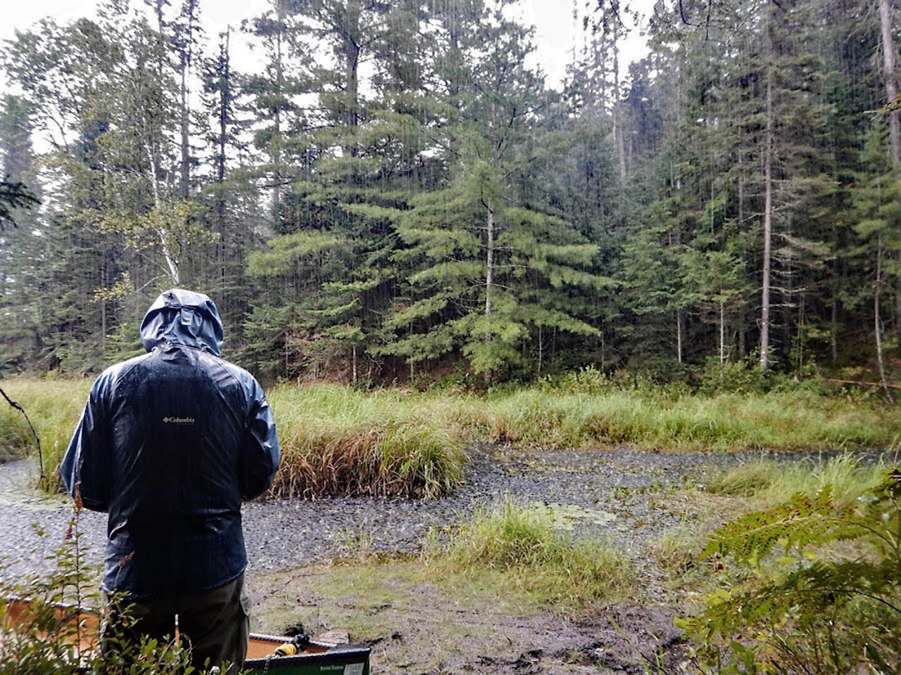
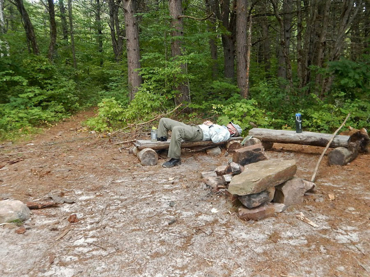
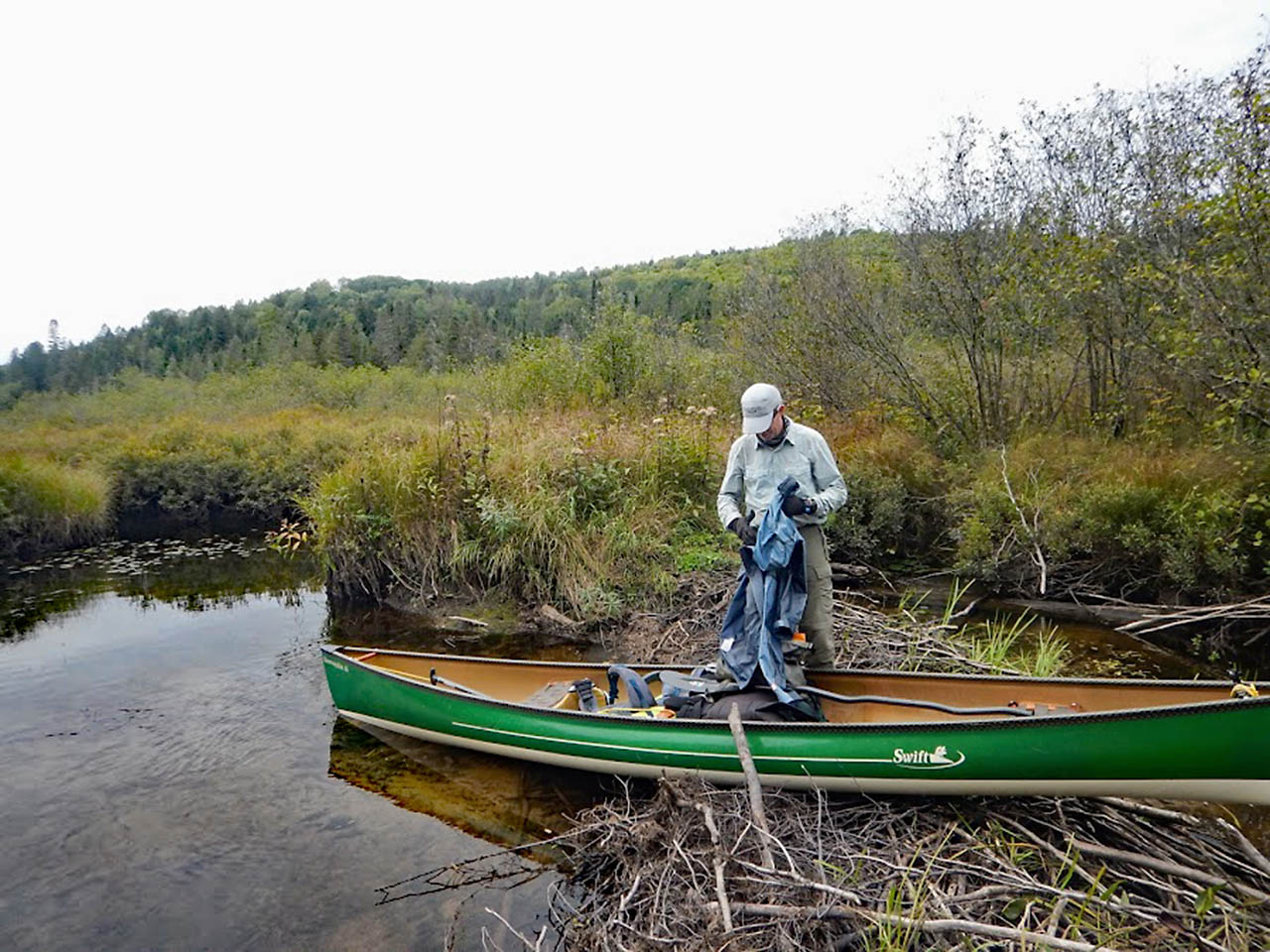
After running that gauntlet, we paddled about 5km up the Big East before finding a relatively private place to set up a bush camp. It started raining just as we got the tarp up. Rained on and off all night.
Shortly after crawling into my sleeping bag for the night, I heard the howling of wolves, accompanied by the drone of an industrial water pump and the soothing rush of traffic on HWY 11. Ahh wilderness.
|
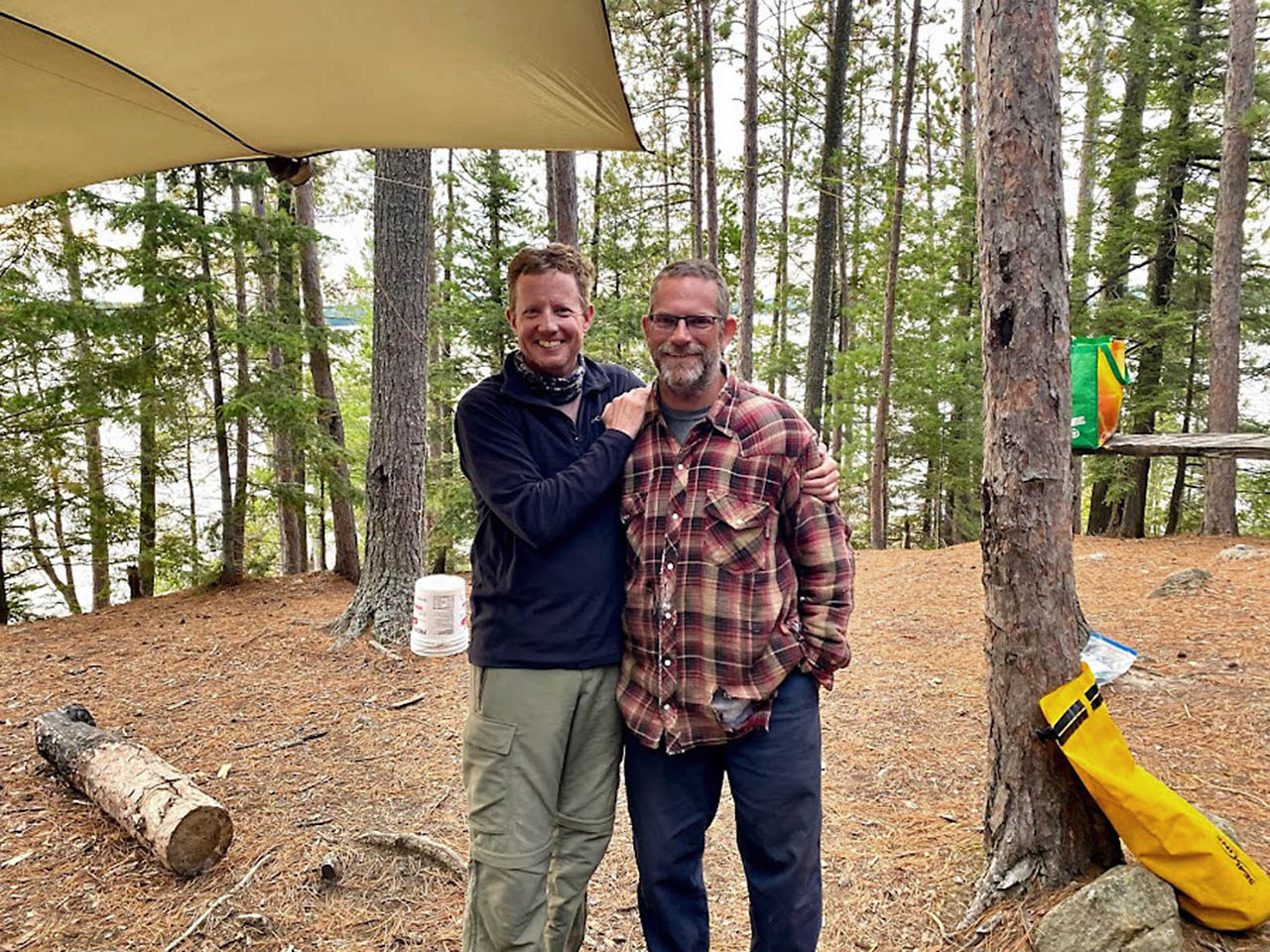
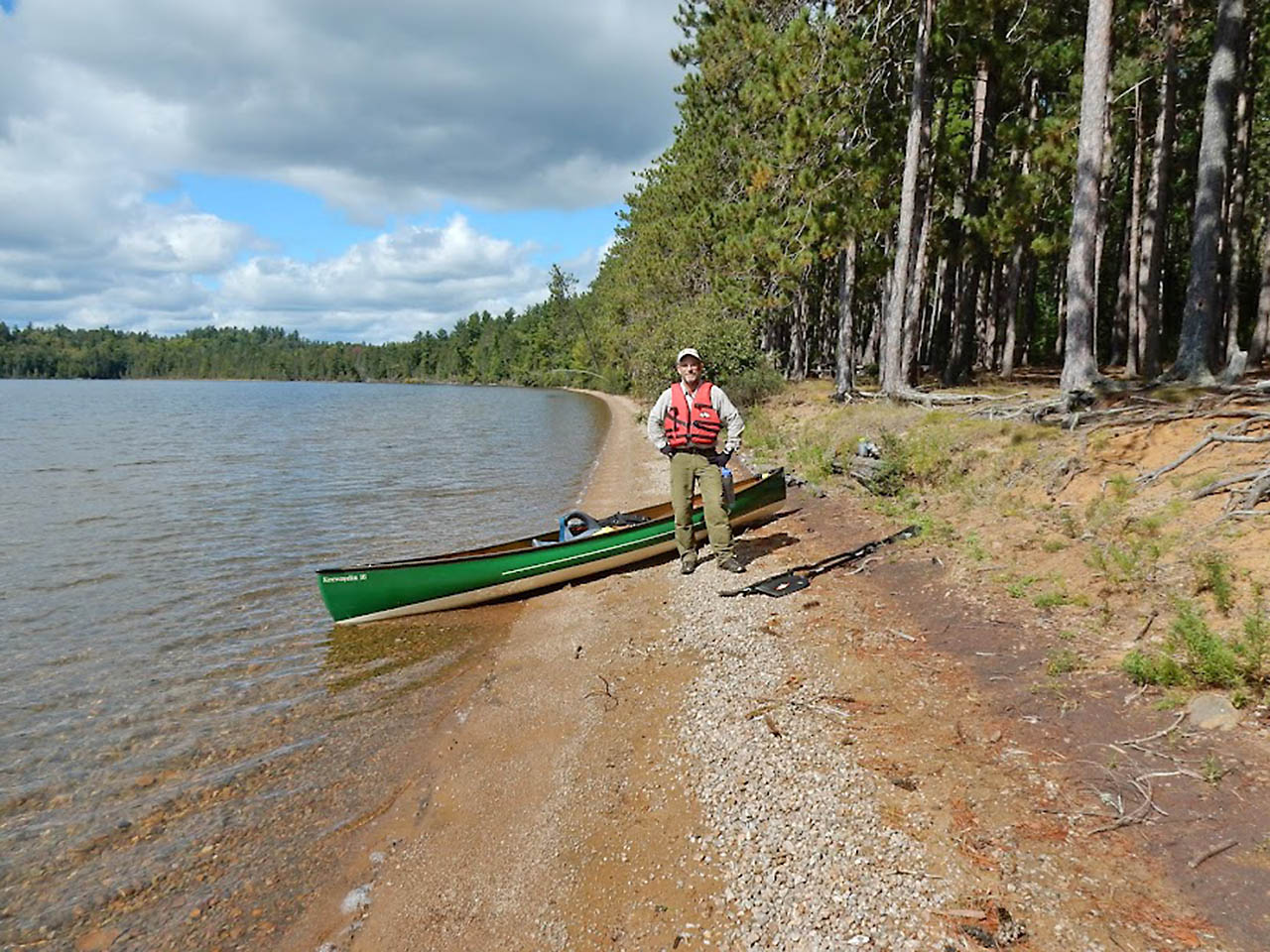
| Smeds and MartinG |
|
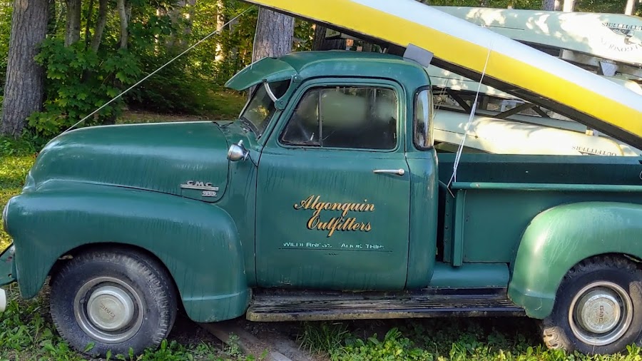
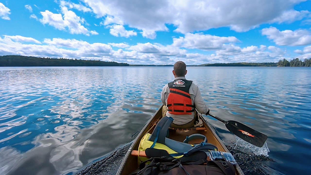
| AO Ox |
|
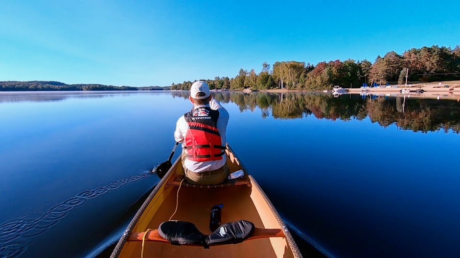
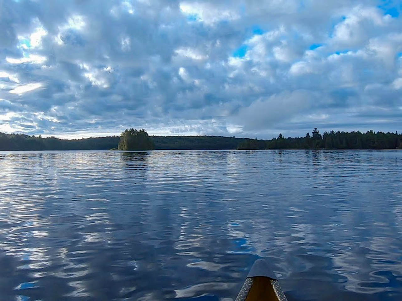
| Glass on Oxtongue Lake |
|
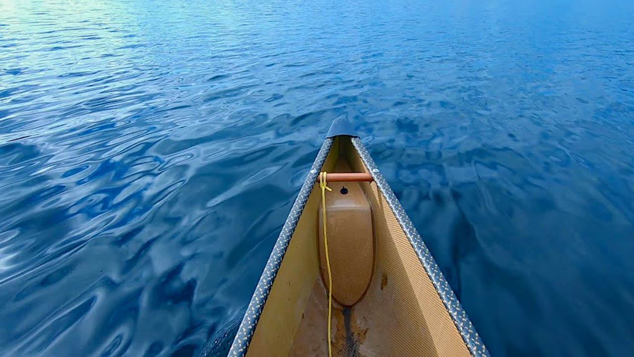
| The canal between Peninsula and Fairy Lake |
Day 2 and 3: Up the Big East and over Buzzkill Mountain
57km, 6 portages, 4.6km portaging and countless hours dragging up river
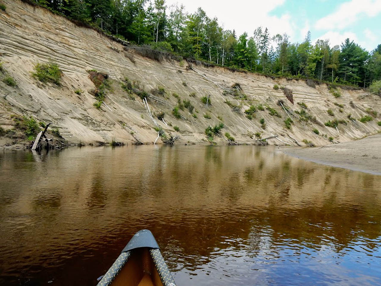
I didn't have an appreciation for our trip through the busy lakes and was looking forward to this portion of the Link. The bottom of the Big East River is still cottage country, albeit a different class of cottage country.
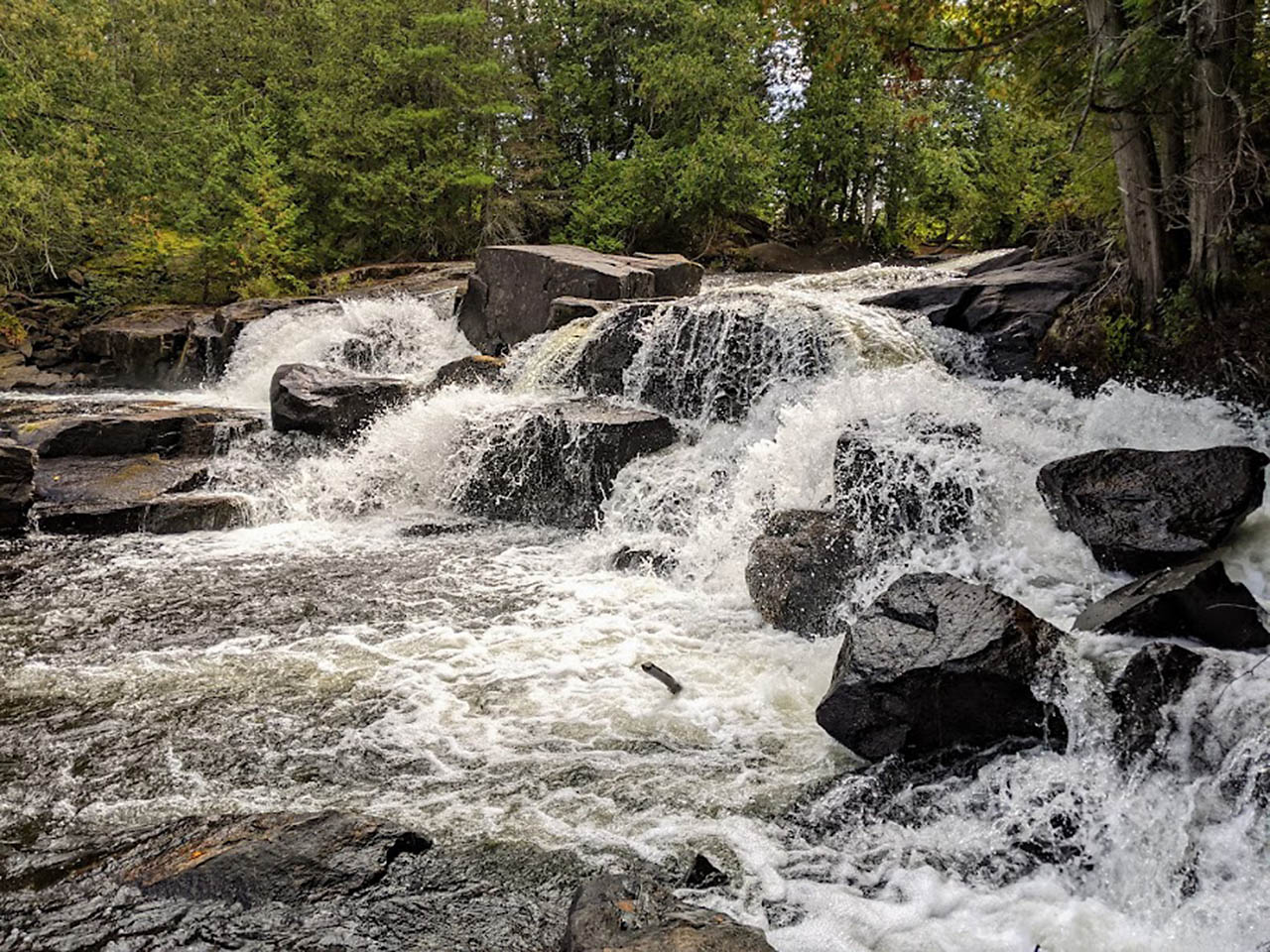
The attention seeking McMansions are replaced by cabins and camps, which become more rustic the further you travel up the river. It winds through Arrowhead Provincial Park passing spectacular 100' high sand banks and granite cliffs.
There are beautiful water falls at McArthur Chute and Distress Rapids. An unusual illusion at the Sink Hole where the river impossibly appears to be going downhill.
And Finlayson Lake is a scenic highlight of the Link that offers one of the most spectacular views in and around Algonquin Park.
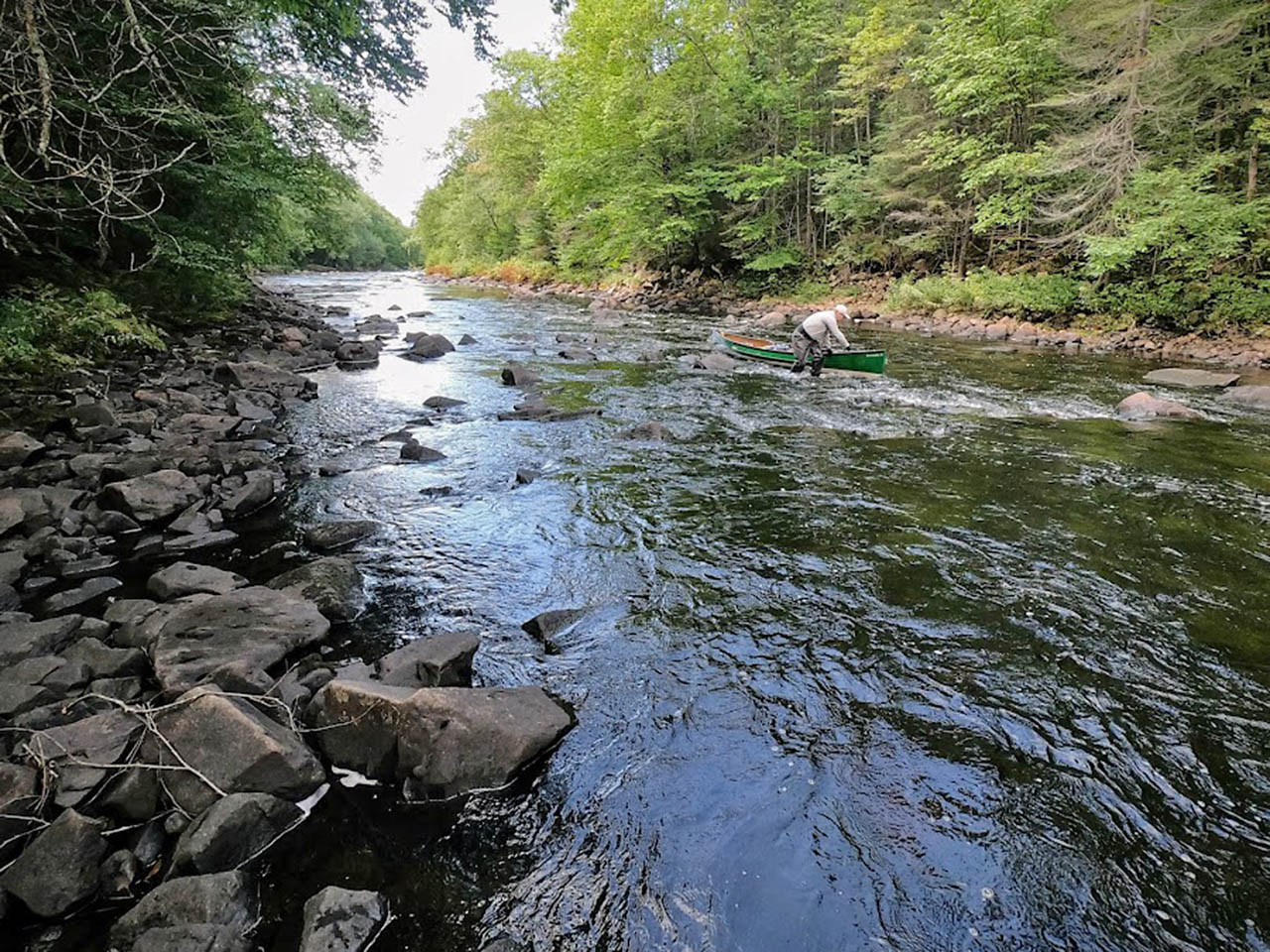
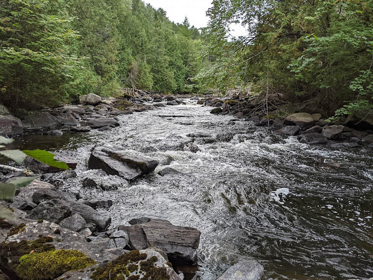
However scenic, my anticipation and admiration for the Big East was inevitably replaced by loathing. Maybe loathing is too strong of a word, but it was a struggle. Canoeists shouldn't go up the Big East.
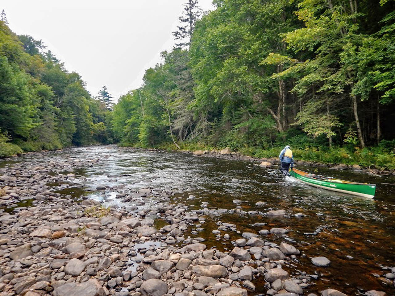
It was one of the most exhausting parts of any canoe trip I have been on. In Arrowhead Provincial Park, the interminable switchbacks of the river along with very low water meant we were paddling like mad in 4 inches of water
to get up and around each of the endless bends in the river. Once we were upstream of Arrowhead, the water got even lower and the frantic scrambling gave way to endless wading up gravel and cobble bars.
This was tedious and tiring but was nothing compared to what lay ahead.
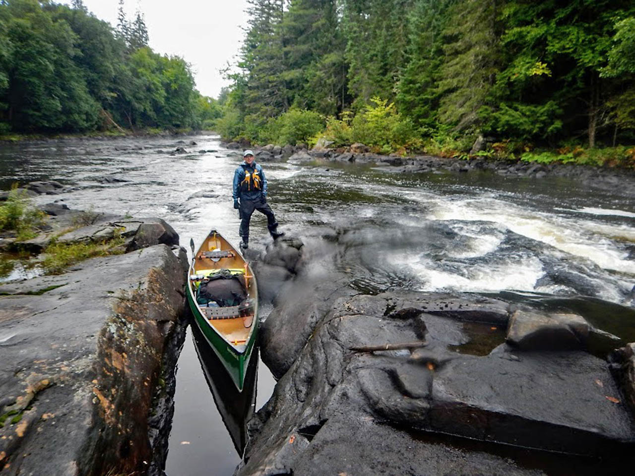
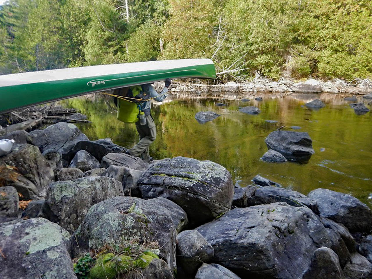
Starting at Boulder Dash rapids we were introduced to the real torment of the Big East, wading upstream for hours in boulder garden rapids. It can't be understated how endlessly, physically and mentally draining this was on me.
I also injured my right knee on a slip and fall in Boulder Dash Rapids. My right knee is my good knee. It swelled up and turned a purple, yellow colour over the next several days.
Two of my toenails turned black and I developed a blood blister the size of a Loonie on the ball of my right foot. Luckily, I wear a knee brace on my left knee, which I was able to switch over to my right knee.
I also had lots of anti-inflammatory medication and pain killers to help get me through. My paddling partner was in no better shape. His legs and feet were covered in scrapes, bruises and blisters.
He lost the big toenail on his right foot on day 2 of the Big East.
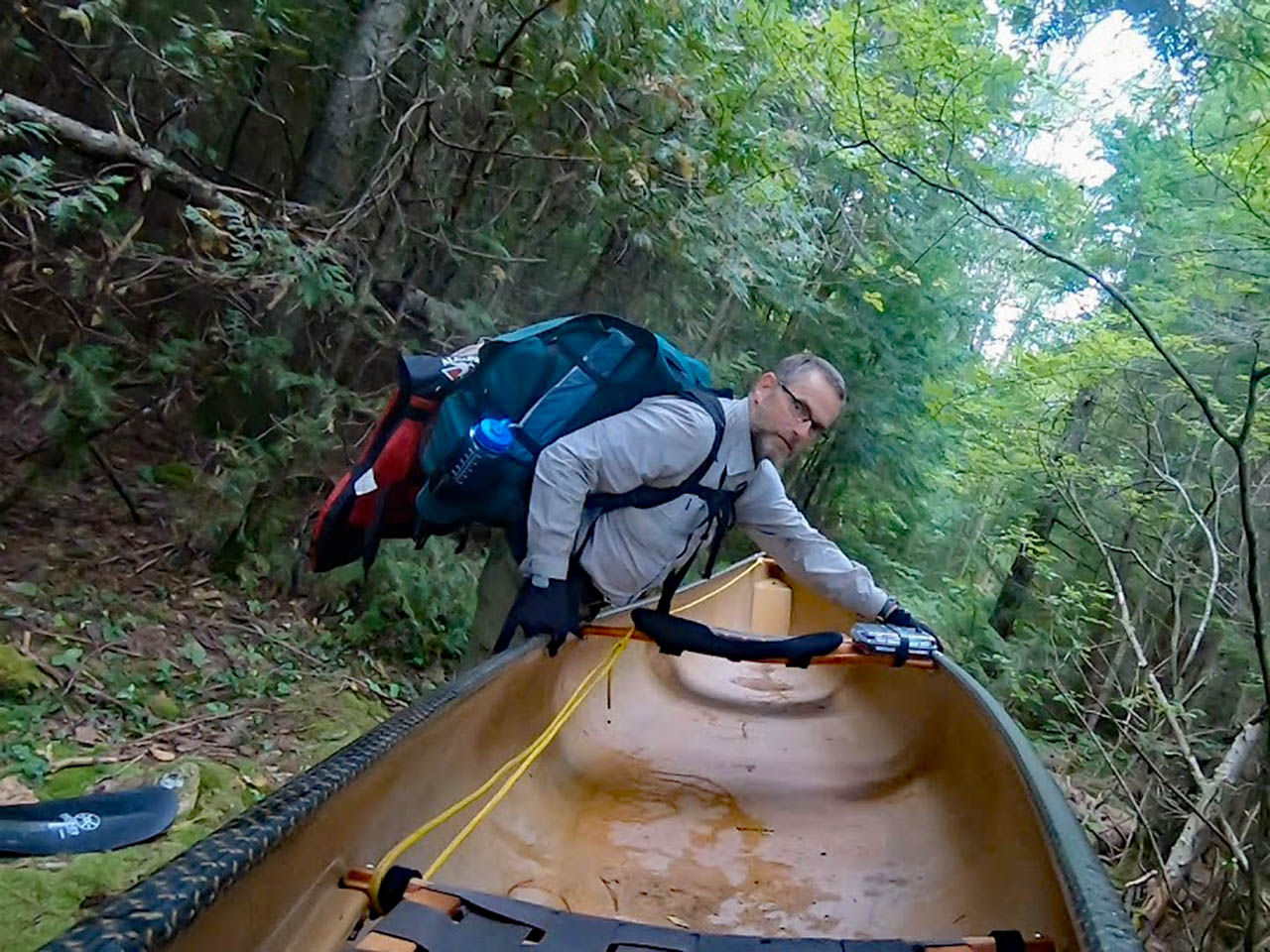
The kicker of the Big East is it ends with the BuzzKill Mountain portage. Like the gates of Mordor, it is one last obstacles before getting into Algonquin Park. It is not hyperbole to say I have been everywhere in Algonquin.
I have. All the named portages like Unicorn Hill, the Devils Staircase, Double Devils Staircase, Heart Attack Hill, Dickson Bonfield, etc... have their challenges. Buzzkill Mountain is right up there with the hardest ports in the park.
There is no way to get there with fresh legs and our best before date had long past. We were done. For us Buzzkill seemed to go up and on forever.
We hit it around dinner time and took nearly 2 hours to finish it [EDIT: Correction it took 2 hours to get from the Big East to McCraney].
For comparison the famed 5 1/2km Dickson Bonfield portage is nearly 4 times longer than BuzzKill and we finished that in 80 minutes.
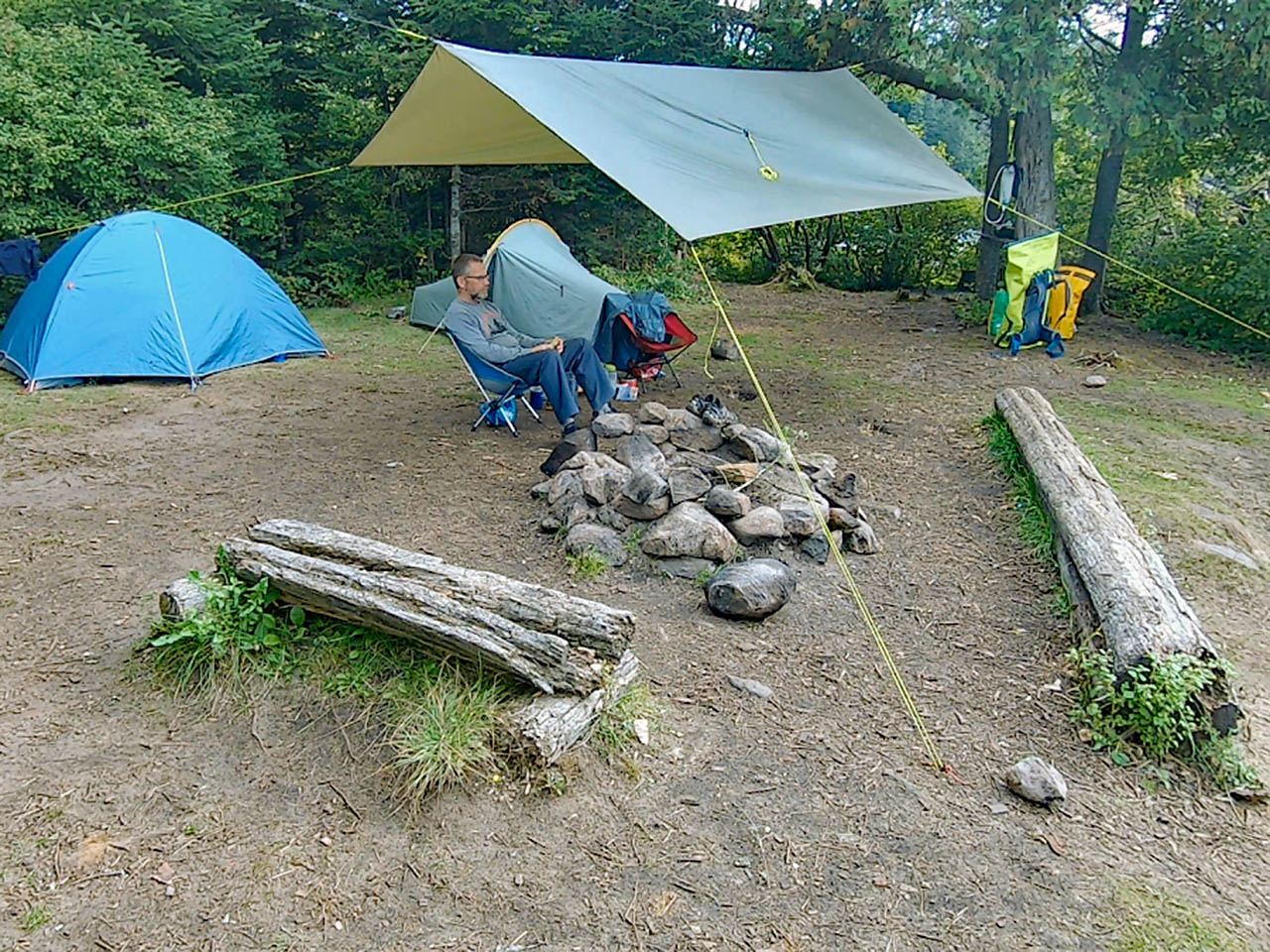
Buzzkill ends at McCraney Lake inside Algonquin Park. Exhausted, we limped our way to the southernmost island campsite. We setup camp, ate dinner and enjoyed the first cloudless rain free night of the trip.
A blanket of stars and the band of the Milky Way accompanied us as we sipped on whisky sours before crashing into a fitful night's sleep.
|
| Big East River in Arrowhead Provincial Park |
|
| The Big Bend in Arrowhead Provincial Park |
|
| Wading up river |
|
| Lucifer's Ledge |
|
| Taking a break inside the cathedral of trees while wading up Finlayson Rapids |
|
| Wading the Big East River as we approach its headwaters |
|
| Arriving at MCraney Lake after a very long couple of days |
Day 4: Well we're movin' on up, (Movin' on up), To the west side (Movin' on up), ... to a deluxe campsite in the sky
35 kilometres. 17 portages 11.5km portaging
Day 1, 2 and 3 were not the easiest. Day 4 brought new difficulties. Hiking with a canoe and backpack.
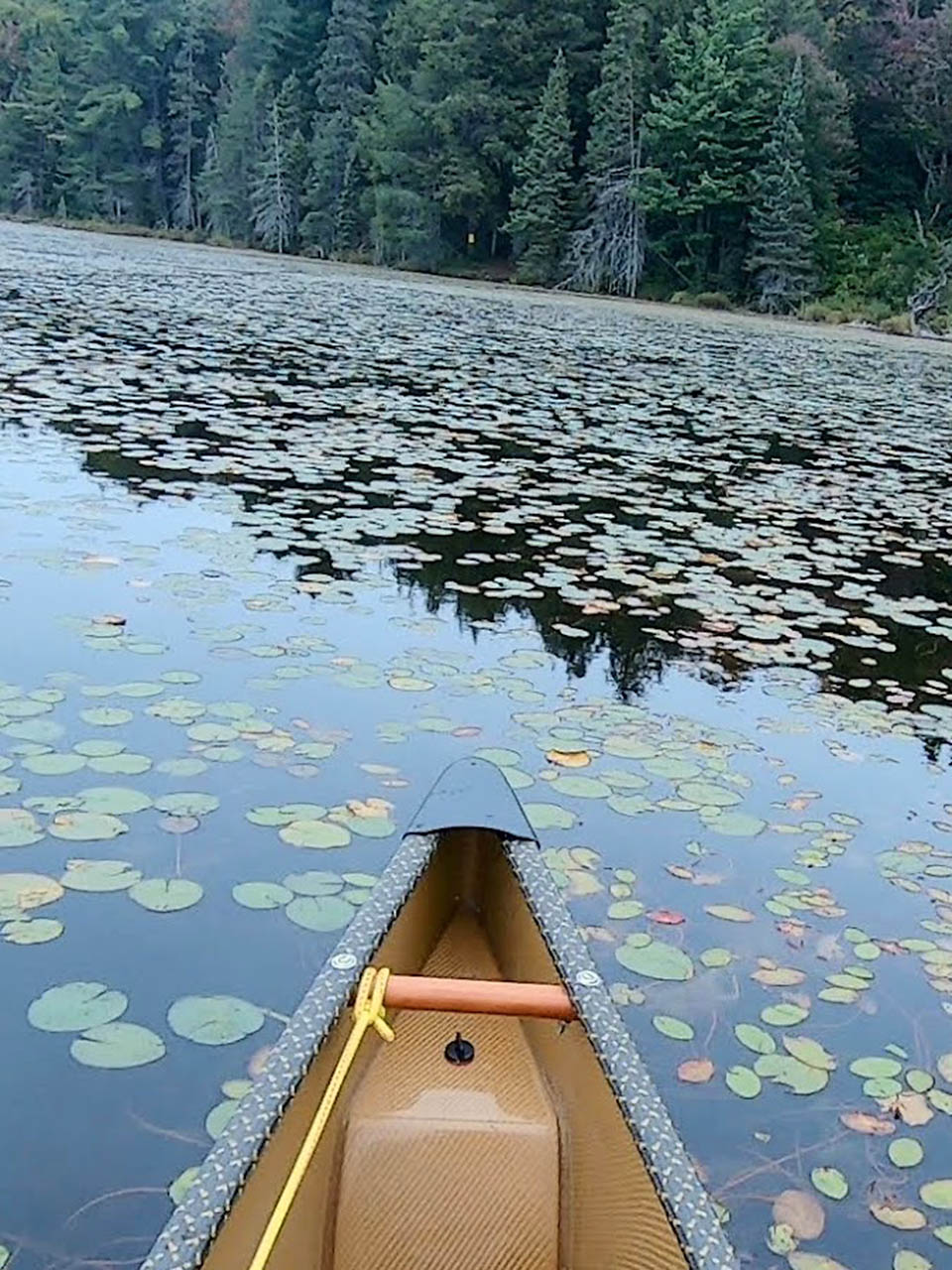
This day took us up the western border of the park. It started off sunny but deteriorated to rain by late afternoon. We travelled through some popular lakes like Rain, Ralph Bice, Daisy and Tim.
And some seldom seen lakes like Pezheki, Iagoo and Mama. We saw people in canoes! That's something we hadn't yet seen on this trip.
We chatted with some weekend warriors heading to favorite lakes for a few days. We saw a girls camp with 9 people preparing for a miserable wet night's camp beside the portage on a mud hole of a lake called Papukiwis.
At portages we greeted each other with the normal platitudes. Nice day, eh? Where you going? Where you coming from? When we said, we came from Oxtongue Lake we got nods.
Some people not getting it. Others, double taking and trying to figure out how on earth you get here from Oxtongue Lake? It was Day 4 for us, and we had gone 140km.
Few trips in Algonquin go that far and we still had 260km to go.
I'm not saying what we are doing is some monumental feat of endurance. Scott and I are both over 50. We did not train for this trip. But we do know what we are doing and have the benefits of experience to get us through.
The big difference between something like the Meanest Link and a short trip is knowing your limits and staying within them. In reflection, this day put us outside our limits (Hmm.. maybe this whole trip was a stretch).
I mean we did it, but 35km and 17 portages in one day is not fun. It was about 10 portages too many. Haha, no really, way too many portages! Quite a few hills, muddy ponds and crappy canoe landings too.
By the end of the day the negative energy, strain and pain of hard travel over the last four days had taken their toll. We were not enjoying the trip.
We were both wet and cranky as we paddled into our last lake of the day, Chibiabos Lake. The first campsite was taken, so we paddled on.
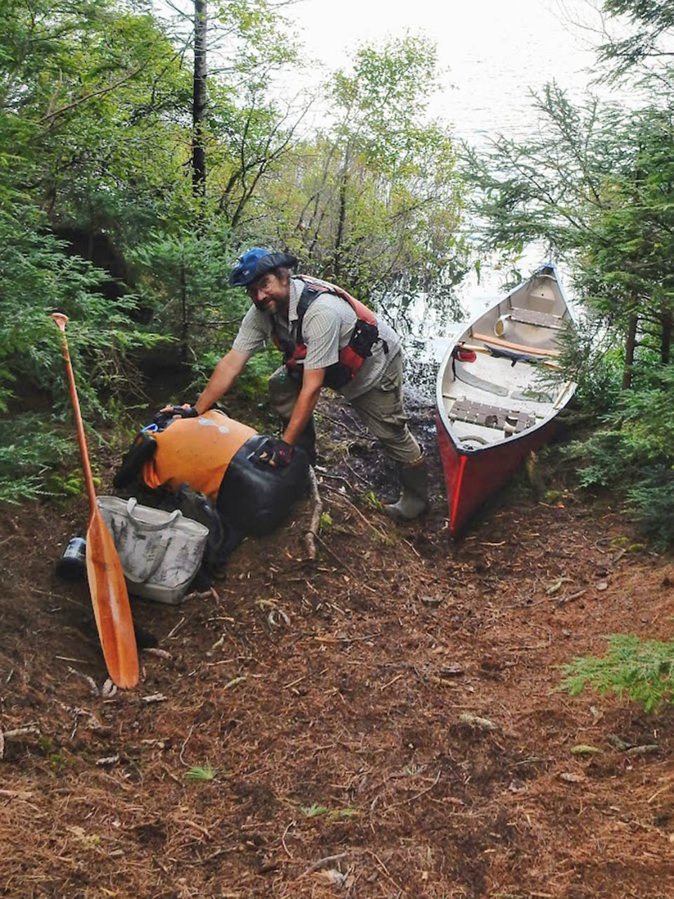
As we approached the only other site on the lake, we saw smoke rising from the campsite and a smiling figure waving to us through the rain.
What a Godsend! Our friend Mark Rubino ( www.markinthepark.com ) had gotten there earlier in the day. He brought us our food cache, started a fire, cut wood, and set up the camp.
What a morale boost that was. For the first time on the trip, we got to sit around a fire enjoying camaraderie, stories, drinks and munchies. This was exactly what we needed at just the right time.
I understand why some people who do the Meanest Link question, why are we doing this? At the end of this day, I was ready to pack it in. I just didn't want to be the guy who quit.
I was secretly waiting for Scott to pull the plug. He didn't. Why are we doing this? Two reasons for me. First, I love Algonquin park. Second, I wanted to do something worthwhile to commemorate turning 50. Nothing worthwhile ever comes easy.
|
| Island site on McCraney Lake |
|
| Portaging was the theme of the day |
|
| Some hard-to-pronounce pond in the way up the west side |
|
| Mark in the Park, our Meanest Link Pit Crew |
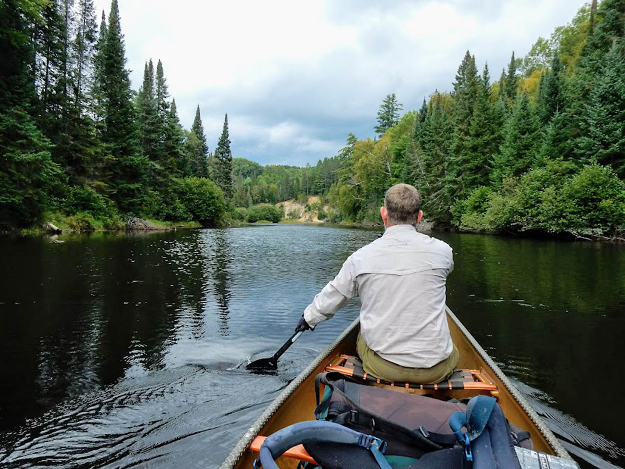
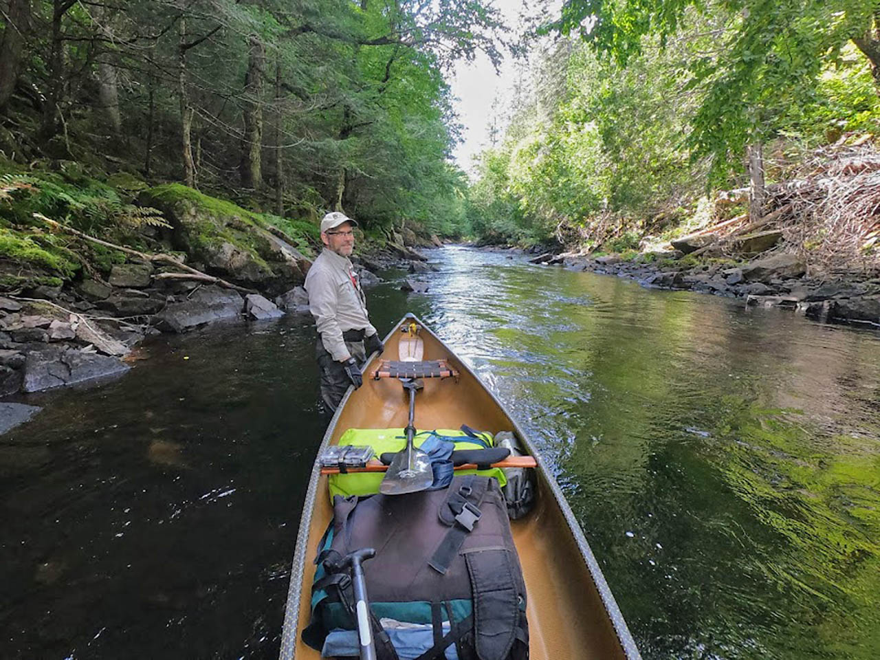
Day 5, 6 and 7: The Nipissing River
105 kilometres. 26 portages 12.25km portaging
I told Scott the Nipissing River is one of my favorite places in the park. He said he doesn't see the attraction. I really like this river, but normally I choose to go down it in May.
The Nip is magical in the spring. Moose, birds, fishing, history, easy runnable rapids. In the fall, in low water, the headwaters between Big Bob Lake and Grass Lake are the worst! Ha-ha just when I thought the trip was getting easier.
Today we took it easy, or rather we hoped to. We had a late start, enjoyed breakfast with Markus and took down camp slowly. We got on the water about 10:30.
I wanted to give my body a bit of a break, so we decided to start off the day doing carry and a half's.
Four straight forward portages later we arrived at the Nipissing River marsh, just as a thunderstorm hit. Stacks of lightning bolts and rolls of thunder to the north west but just rain on top of us.
We paddled, pushed and pulled our way through the very shallow marsh. Luckily, we didn't have to get out of the canoe and attempt to wade through the stinking muck.
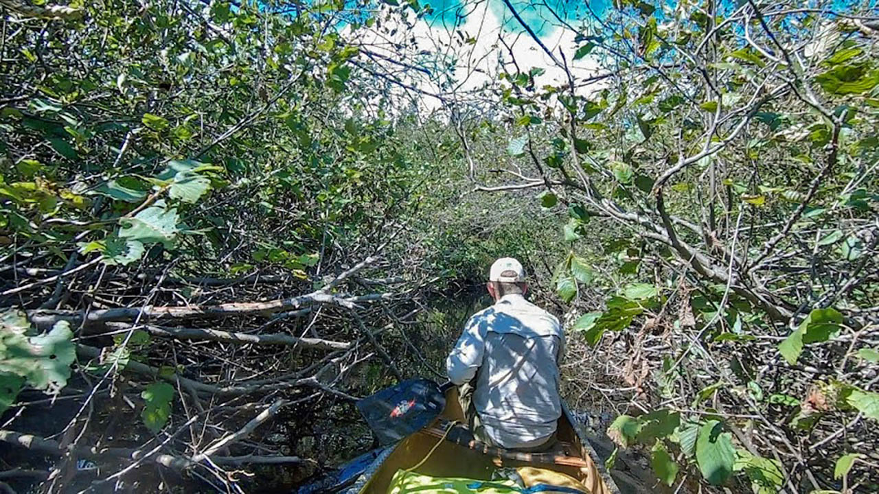
The Nipissing marsh and the first 5km of the river are picturesque. Very enjoyable until you arrive at Alder hell. Anyone who has been through this part of the Nip knows what I am talking about.
I've been through it in the spring, before leaf out, and it really isn't a big deal. However, this time of year, due to alder growth and low water, it is God awful. It took hours.
Pushing and pulling through beaver dams, scrubby bush and spiders. While we didn't cover a lot of distance today, it felt like it took forever.
We decided to cut our day short and camped at High Dam. Once again, it started raining just after we put up the tarp and continued raining on and off all night.
Over the next couple of days we fell into our groove. Both days consist of about 40km of travel with a handful of fairly easy portages. We didn't see anyone. Towering White Pines stood watch along the river to keep us company.
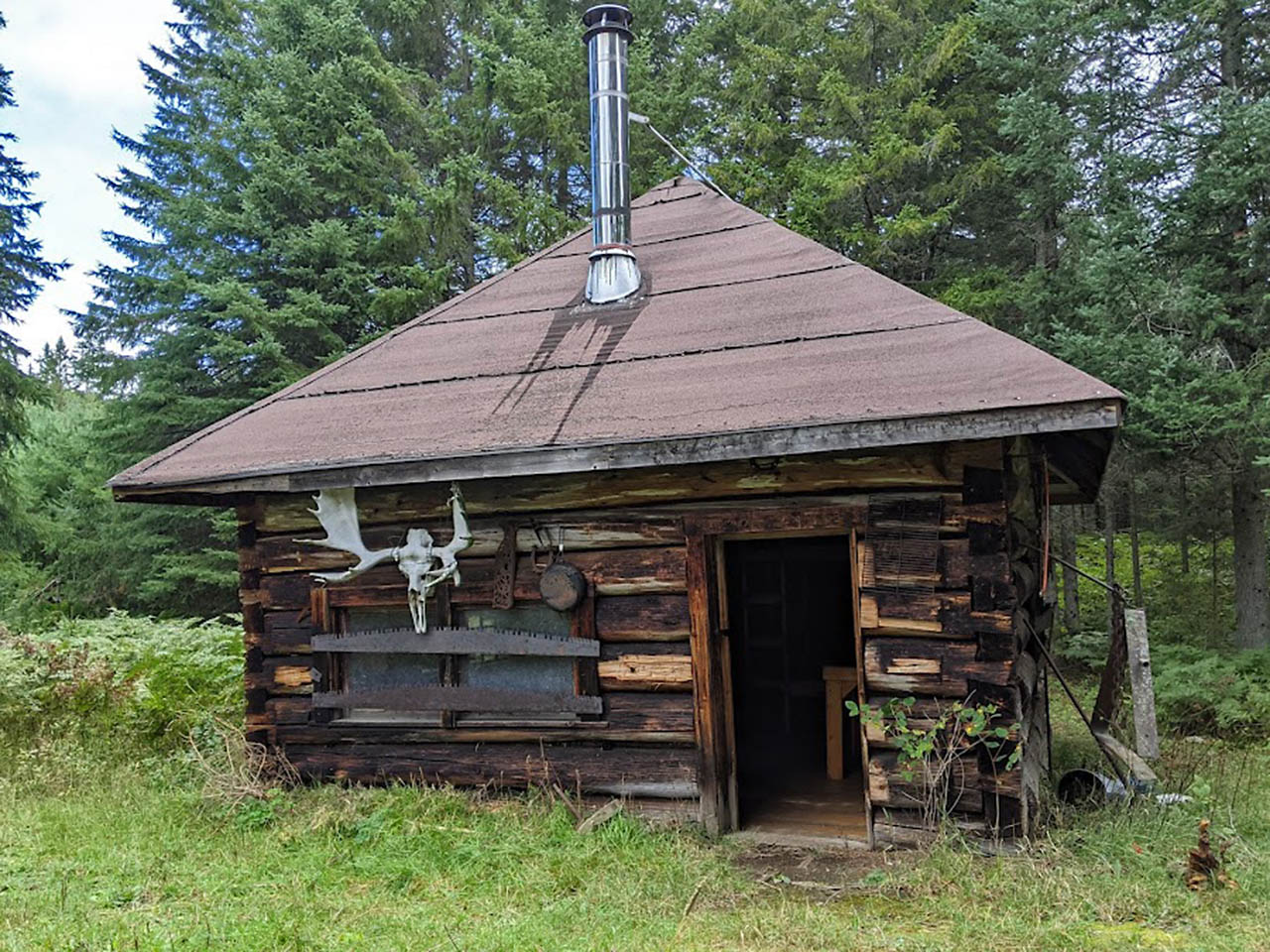
Highview cabin sat like a silent sentinel to remind us of the history we were paddling through. Otherwise, 100km of narrow, shallow, twisting river can get a bit tedious. We were both happy to cross our final portage and leave the Nip behind us.
By the time we entered Marshy Bay on Cedar Lake, the Nip had lost much of its appeal for me too. I'm going to have to come back in the spring so the brook trout, moose calves and warblers can bring the magic back.
|
| Headwaters of the Nipissing River |
|
| Alder hell |
|
| Highview Cabin |
|
| Towering White Pines and low water |
|
| High Falls on the Nip |
|
| Long Marsh |
|
| Evening on Cedar Lake |
Day 8 and 9: Heading to Swifty's site
45 kilometres. 22 portages, 10.25km portaging
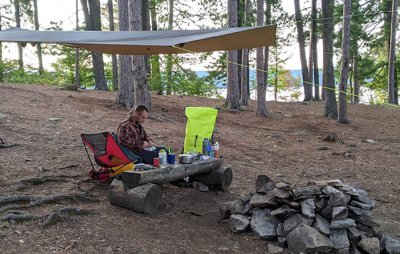
This was the easiest (and most rewarding :D) leg of the trip for us. The previous day and night we had no rain. A first for this trip! We took the opportunity to thoroughly dry and air everything out.
Overnight, moose in the water in front of our site, woke me up making a ruckus doing whatever it is moose do in the middle of the night. In the morning, we were in no great rush to get on the water.
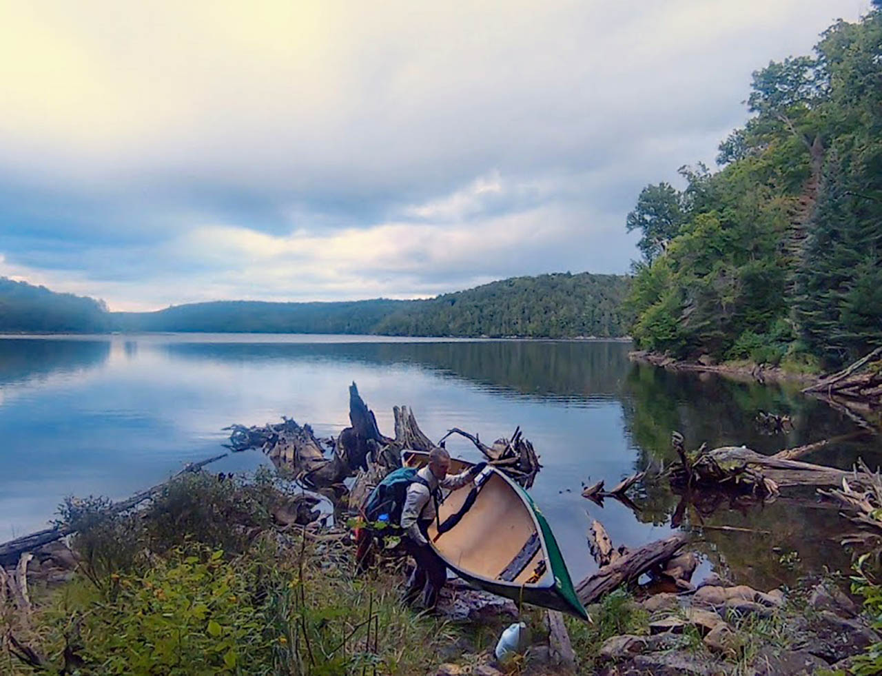
The 23km from Cedar through Radiant to Francis went quickly. We had originally planned to camp on Francis. Since it was only 1pm we decided on lunch and a nap instead. After lunch we pushed on without any real plan as to when we would stop.
The Crow River decided we should stop at "the Forks". The Forks is the junction of the Crow River and White Partridge Creek. I have never been here before but read about it in, "the Incomplete Anglers" by John D Robins.
A humorous, semi-fictional story of a fishing trip in Algonquin Park in 1943. You can get the book from the Friends of Algonquin.
While the campsite at the Forks is not so great, it is a very wild and remote spot that brings back visions of times gone by. And stopping there helps to break up a 3.7km portage.
The following day was a short one, only 10km. We paddled and portaged up the Crow River to Lake Lavieille. This part of the Crow River also feels wild. Little lakes and short section of river separated by rough portages with awkward rocky put ins and take outs.
It's not easy to get here and I have heard it is teaming with Brook Trout. I loved it and have marked it down for a future spring trip. After the Crow River we paddled for another couple of kilometers across Lake Lavieille to Swifty's favorite site.
A glorious late summer day on a fantastic campsite on a huge, beautiful lake would be reward enough for us today. But, an hour or so after we arrived, another couple of paddlers crossed the lake making a Beeline for our site.
Turns out they brought the real reward. An old friend and a new friend had been tracking us through my inReach device. They timed their trip so that they would meet up with us on Lavieille.
That night we didn't have to eat our dehydrated meals. Instead Shawn and Darryl treated us to Filet Mignon, potatoes, vegetables, Rum, Whisky and Cuban Cigars, wow, what a treat!
Lake Lavieille, in turn, treated us to a warm cloudless evening with a blanket of a brilliant stars. It was one of the best nights I have ever had in Algonquin.
|
| Breakfast on Cedar |
|
| Napping on Francis |
|
| Blueberry Falls on the Crow River |
|
| Crow River |
|
| Rocky portages |
|
| Scott and Martin at Swifty's site |
|
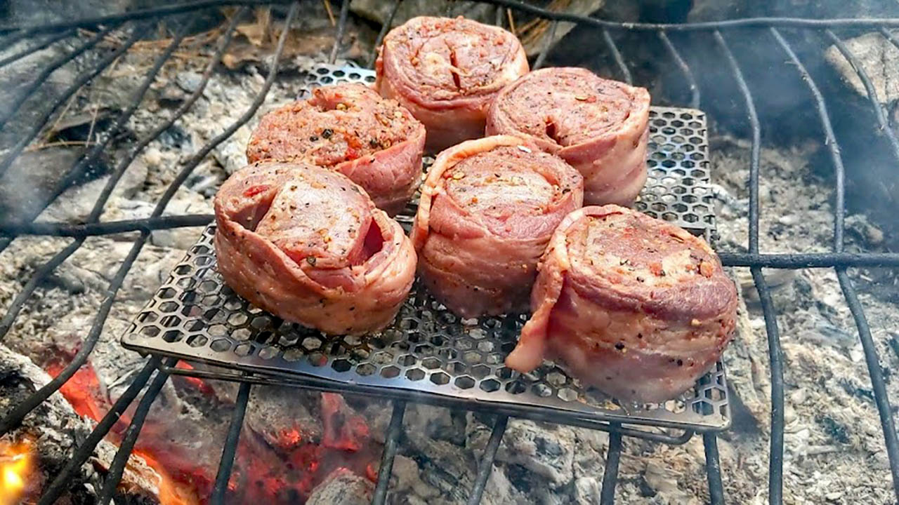
| Steak for dinner |
|
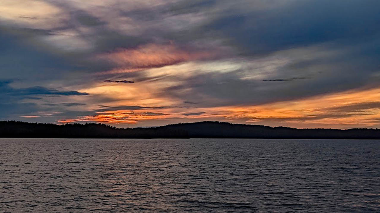
| Start of a beautiful evening on Lake Lavieille |
Day 10: Finishing the Brent to Opeongo Leg
40 kilometres. 5 portages, 9.25km portaging
Like the first day of our trip, this was long paddling day on big lakes. Like the first day, we had sun and great conditions. Unlike the first day, there were no asshats in wake boats.
We paddled through Lake Lavieille and Dickson Lake on a fine tapestry of dappled water. At the western edge of Dickson lake, we started the Longest portage of our trip.
In fact, the longest portage in Algonquin Park, the famous 5 1/2km Dickson Bonfield Portage. I was happy that we finished it in 80 minutes.
Our new friend Darryl wanted to do it in under an hour. He fell just short at 63 minutes. Still pretty darn impressive.
Opeongo was also smooth sailing, with very few people on it. On the East Arm we saw a fall flocking of 20 or so Loons getting ready for migration. The few people we did see were mostly in Lunds with little outboard engines.
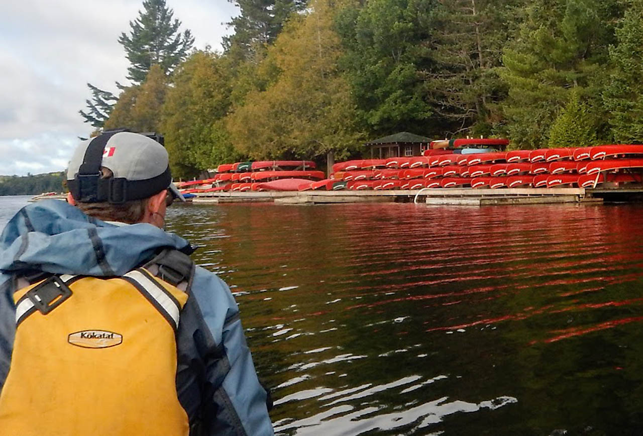
This is the place to take your fishing boat! Such a beautiful lake with so many great campsites. The paddle down to Algonquin Outfitters Opeongo store took us about 3 hours.
The store and the docks were a busy place. Some people were getting ice creams, others getting ready for canoe trips. Another group of a dozen or so people were learning how to paddle a canoe for the first time.
We even saw one guy catch a 4 pound laker right there from the dock at the access point.
We picked up a small food cache,dropped of some garbage and unneeded items, then carried on to Sproule Lake. If you are looking for a challenge, the 3 1/2km portage up to Sproule is much harder than Dickson Bonfield.
We camped for the night on the point site on Sproule. This site was one of my favorites when I first started tripping in Algonquin 15 years ago.
Now it is in rough shape. Barely any vegetation, dirt like asphalt and the desperate exposed roots of the remaining trees spread like veins above the ground.
The site should be closed. It's scenes of overuse like these that have pushed me away from Algonquin for many of my canoe trips over the last few years.
|
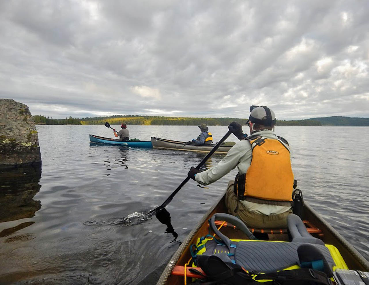
| 3 Swift canoes leaving Lake Lavieille |
|
| Beauty morning on Lavieille |
|
| Tapestry of water on Dickson |
|
| East arm of Opeongo |
|
| Opeongo was kind to us |
Day 11, 12 and 13: Opeongo to Oxtongue
79 kilometres. 23 portages, 10.5km portaging
The last stretch of the Link is along HWY 60. You might think this is the busy portion of the Link. It's not. Very few trippers follow this path. It's tough. From Sproule to Tanamakoon Lake is about 30km and there is nowhere to camp along the route.
There are several tough portages at the beginning of this leg followed by paddling up the Madawaska River. This portion of the Madawaska is another one of those endless, tedious, twisting streams.
Because of very low water, we also had to pull up and over dozens of beaver dams.
We arrived at our campsite on Tanamakoon pretty early, before 4pm. It was sunny enough to go for a swim and rinse off our filthy clothes. As the afternoon progressed, we started getting messages.
My wife simply said, "Storms were forecasted for Algonquin this afternoon." Gord Baker sent us a message, "watch the weather today, chance of t-storms".
Markus Rubino, "Tornado watch, frequent cloud to ground lightning, ping pong ball size hail, the Apocalypse, end of everything!" We perked up at that one. The sky had been getting darker throughout the afternoon.
By evening the wind was picking up from the Southeast. We had an early dinner and kept our eye on the skies. Just before dark the thunder, lightning and rain hit a few kilometers to the west of us. But it never got any closer.
It seems we were on the very edge of the system. We went to bed accompanied by constant rolls of thunder and flashes of lightning.
The potential for Apocalypse made it hard to fall asleep but overnight nothing much happened. By morning the weather was fine again. A quick breakfast of Pop Tarts, bacon and coffee and we were off to Source Lake.
An hour or so later we were paddling up to Camp Pathfinder with its rows of beautiful red cedar canvas canoes. Unfortunately, no one was around. We knew the camp was off limits to the public due to COVID, so we didn't land.
We just floated around in-front of the docks for 10 minutes hoping someone would come down. Nobody showed their faces, so we carried on. Too bad, I would love to see more of Pathfinder.
It is a historic place that takes campers on some spectacular trips around Algonquin and to far Northern Ontario.
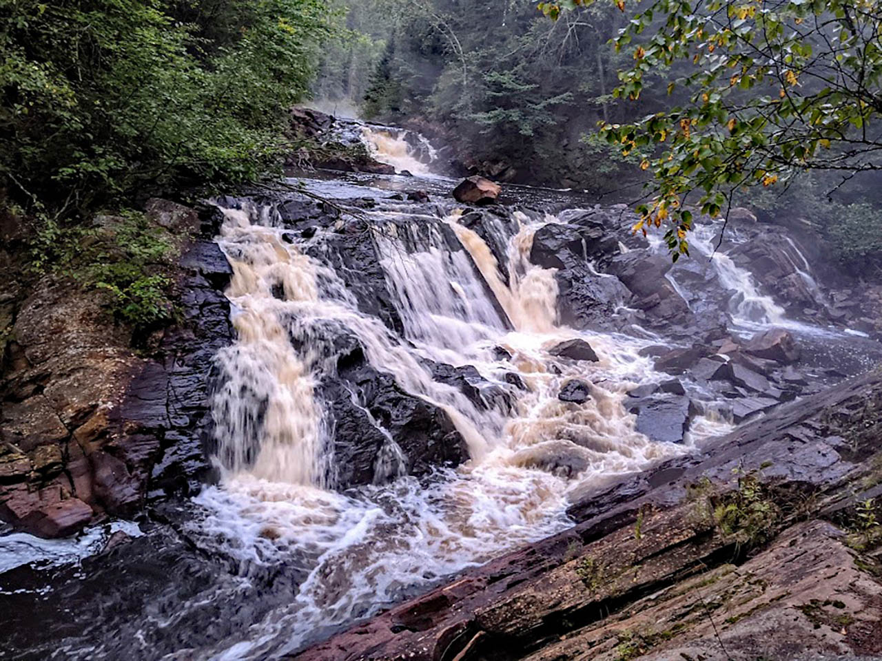
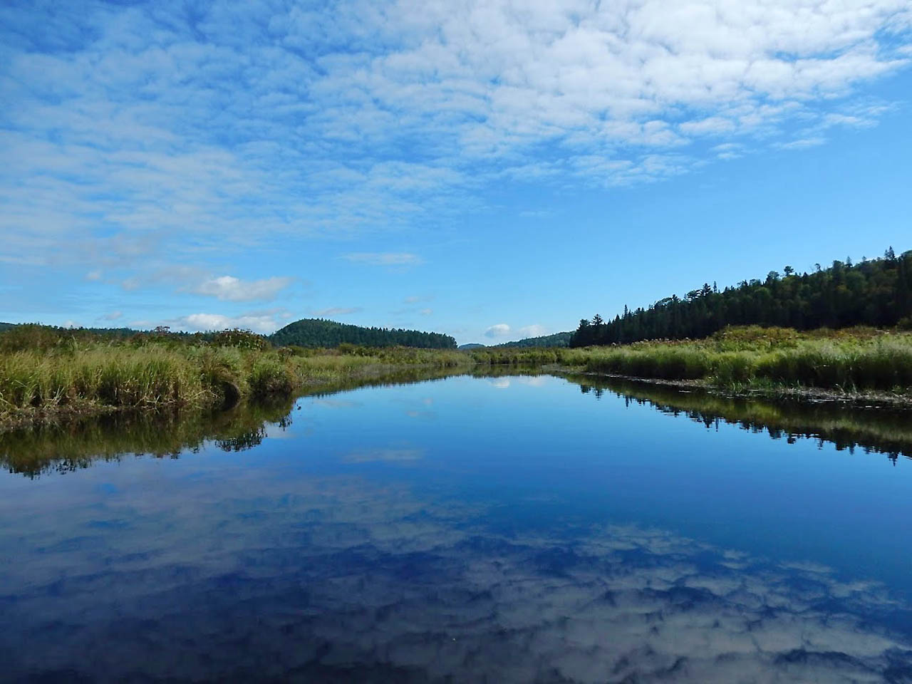
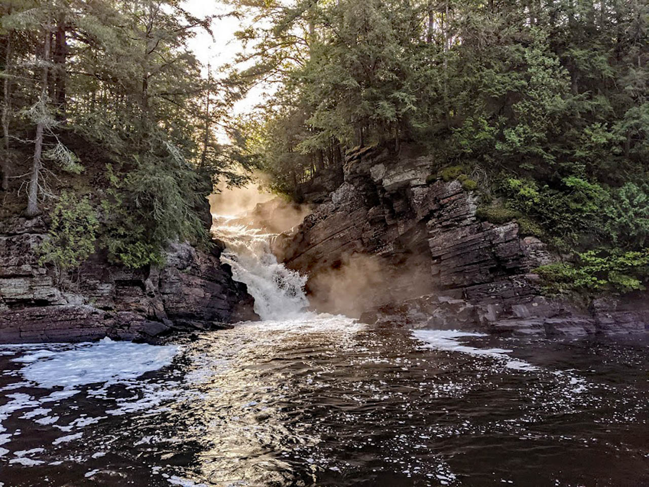
This was another long day. Travelling nearly 45km, we paddled and portaged our way to the Oxtongue River and descended it all the way out of the park. For our last night of the trip, we stayed on a Crown Land campsite at Gravel Fall.
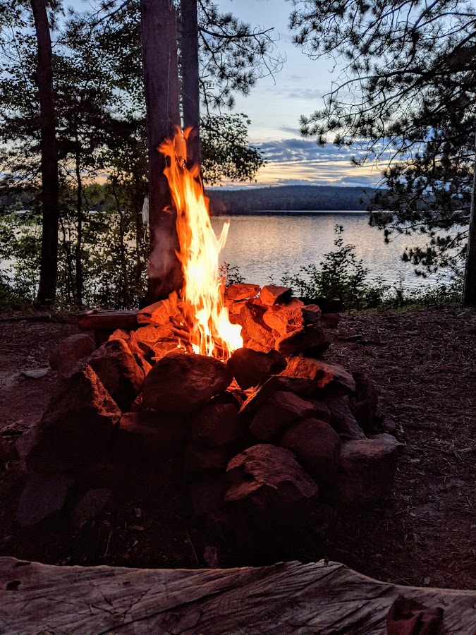
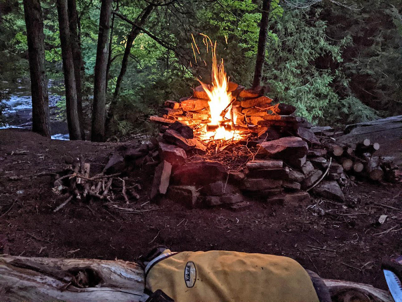
I had camped here six years earlier with my son. Besides being next to one of the most spectacular waterfalls in Algonquin, it also holds special memories of spending time with Owen. We had nice weather, a great fire and toasted to a successful Link.
I stayed up late watching the embers die down and felt all was right with the world.
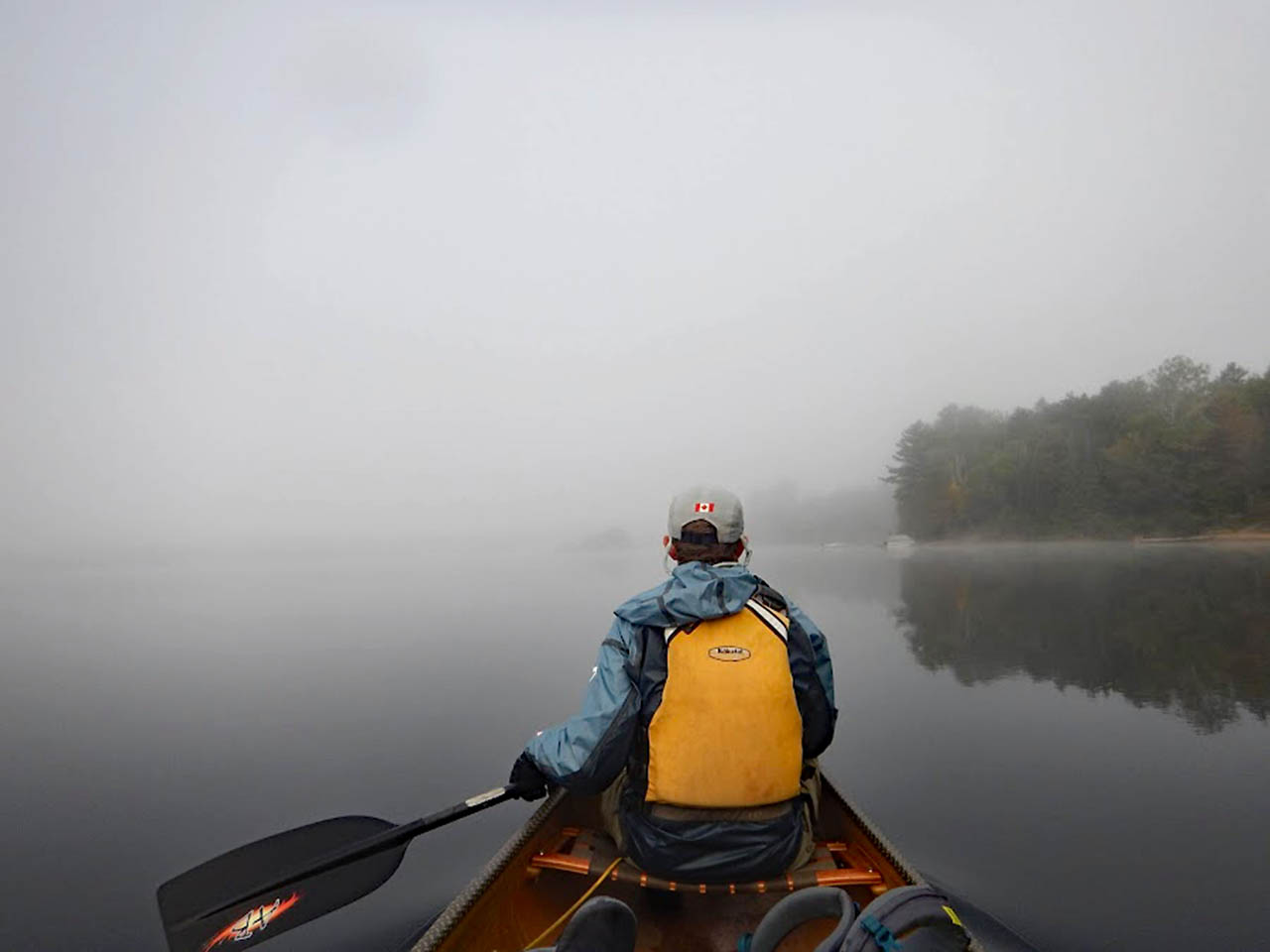
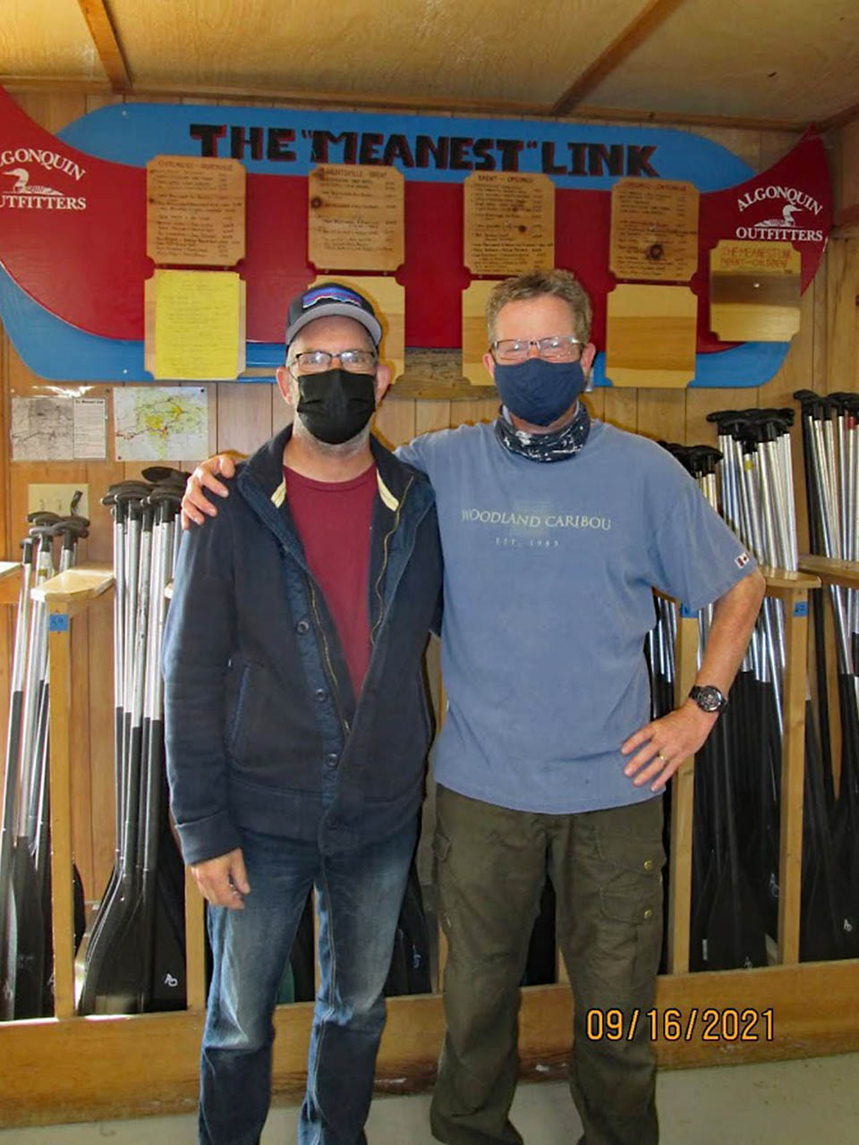
The following morning, we paddled for an hour or two through a thick mist to get back to Algonquin Outfitters on Oxtongue Lake. We arrived at the docks at 9:30. There was no ribbon, no pipers and no fire boat. But there was a Gord Baker and a Bill Swift to cheer us in.
I feel really good about this trip. I set out to do something challenging. To really push myself. To see parts of Algonquin that few trippers see and do it in a way that put me at the limit of what I could do.
Other than a sore knee and some black toenails, I came out of it unscathed. I feel a little bit stronger than I did at the beginning of the trip and managed to spend a couple of weeks unplugged from the craziness of the world around us.
Scott and I have agreed to do it again when we are 60. Good lord and good knees willing.
|
| Madawaska River |
|
| Damn Dams |
|
| Camped on Tanamakoon |
|
| Camp Pathfinder |

|
| Oxtongue River |
|
| Last campfire |
|
| Gravel Falls |
|
| Paddling through the mist |

|
| Scott Martin and Bill |
|
| Meanest Link complete! |
End.