|
|
Barry and Bill at Galeairy Lake - June 2013by Barry Bridgeford and Bill Warren |
|
|
This was our first canoe trip into the park this year .. just a few days on Galeairy Lake. MAP Day 1 We'd been conducting some Algonquin Backcountry Recreationalists business at Oxtongue Lake the day before and were able to get into the park at a relaxed pace on Tuesday June 25th. Most of the schools were still in session, so the access point parking lot was practically deserted. Bill remarked that our canoe looked "underpacked". But no, nothing was missing. Being wise in our senior years, we'd deferred to a short first trip of the season. This was to be a slow-paced four-day basecamp getaway. 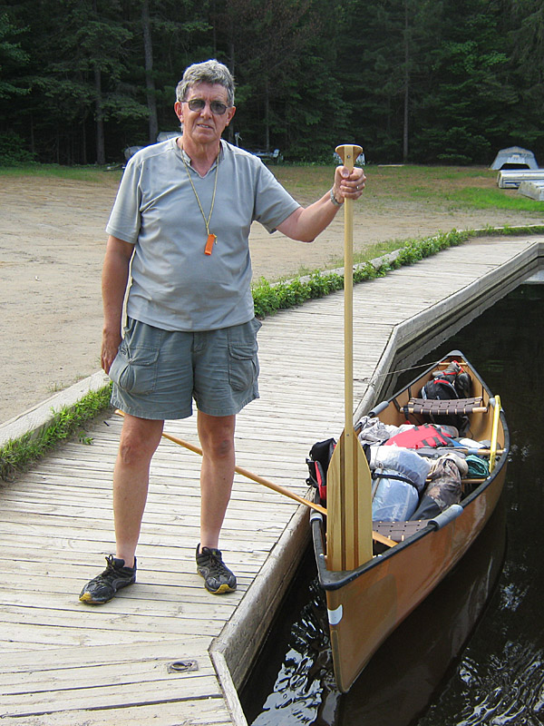 Ready to push off. (photo: BW) The sky was a high overcast and the wind was little more than a breeze. The paddle past the Barcley Estate, the islands and Echo Bay was uneventful. As we approached the portage and dam, we could tell that something was wrong. Many of the dam's barrier floats had been tossed up on to the small islands that the concrete dam is built amongst. Dead wood and even a cottage dock had been pushed up against the barrier's floats and cables .. some of which were hanging down the other side of the dam. 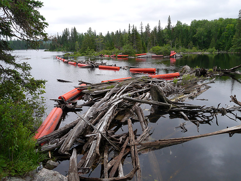 One big jumbled mess, as seen from the portage take-out! (photo: BB) 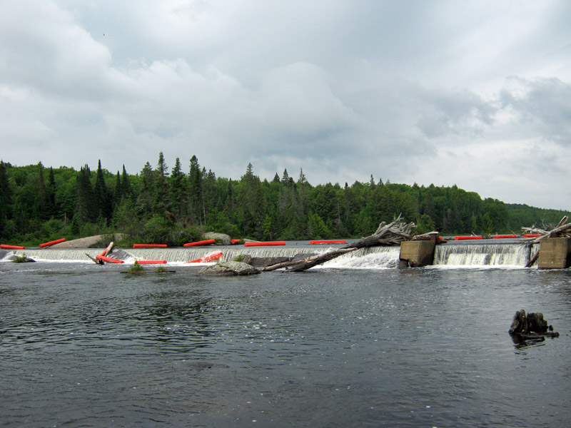 Here's the view from the downstream end of the portage! (photo: BW) The portage is an easy 100 meters long. Its landing on the Rock Lake end has a bit of a scramble up rocks. However, the greatest part of the portage is on the dirt surface of the old railway's road bed .. flat and smooth. A gentle slope and a smooth rock landing greeted us at the Galeairy landing. Following is a brief sequence of shots from the portage ...  At these late June water levels, the 'step-out' was rather convenient. (photo: BB) 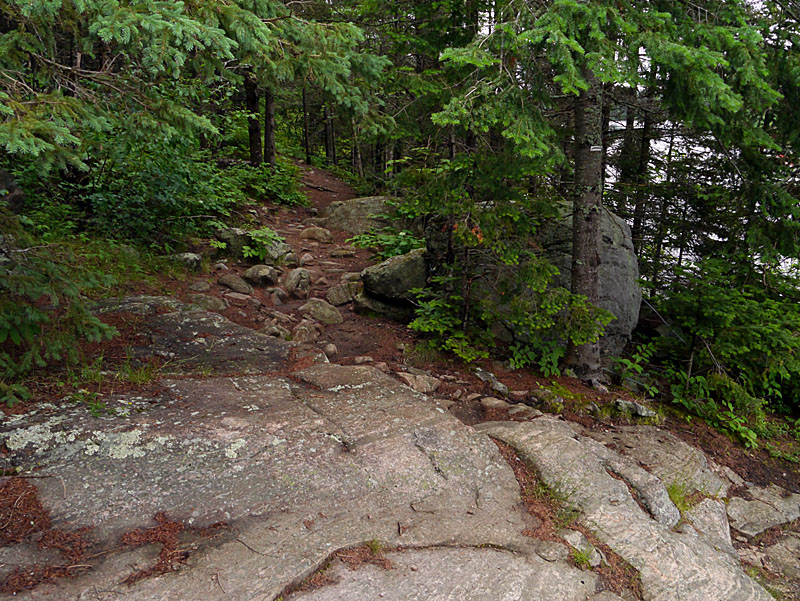 Here's the top of the rocky section that leads toward the flat section. (photo: BB) 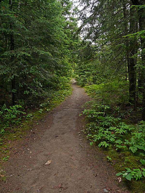 This flat section goes most of the way. (photo: BB) 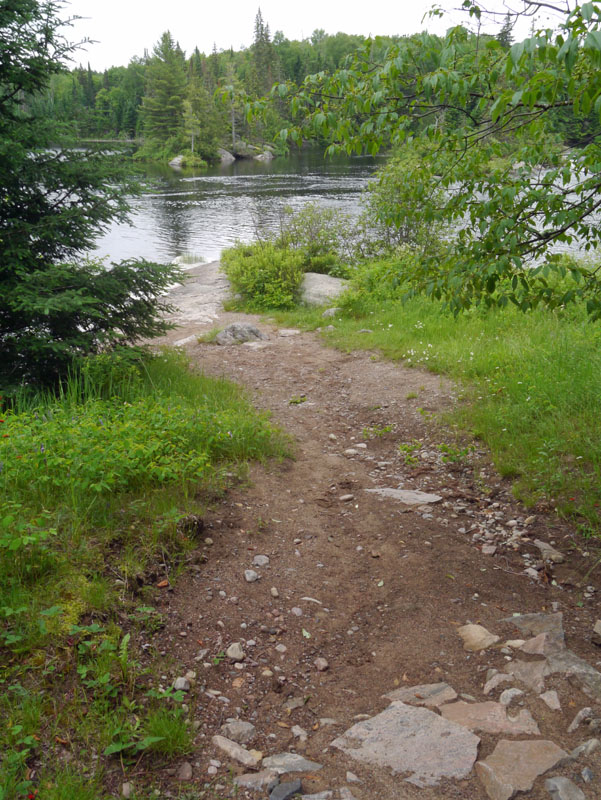 And here's the gentle grade back down to the water. (photo: BB) Although the bugs hadn't been particularly bad so far, reports had been that they were bad deep in the forest and at dusk. So, we were looking for a campsite that would catch some wind. Barry had been this way three years earlier with Mark Rubino, and had a particularly exposed campsite in mind .. the fourth one downstream of the dam .. on the north (left) point of the second narrows.  Bill took this shot of the campsite on the second evening, while out fishing. (photo: BW) 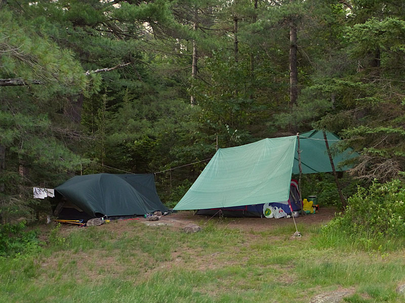 We set up our tents and tarps on an area of durable ground against the edge of the forest. (photo: BB) 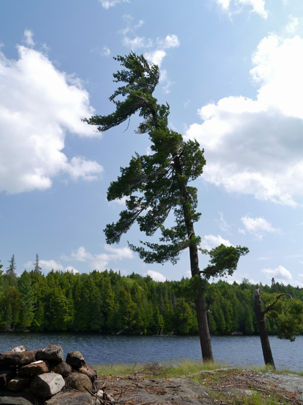 Looking south from the tents towards the firepit. (photo: BB) 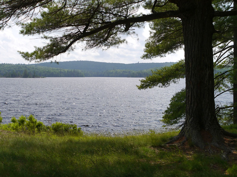 Looking west (upwind) from beside the firepit. (photo: BB) Landing the canoe proved to not be feasible around the actual rock point. We found a suitable landing location about fifty yards west of the rock point. It allowed us to either step out on to firm smaller rocks or to step out safetly into the water, also on to small rocks. There was also a small smooth open hillside area on which to pull the canoe up and make the canoe secure. The rock point stuck out into the lake sufficiently to catch lots of wind .. from the southeast all the way around to the northwest. Also, there was plenty of seating area on the westmost rocks to catch the late June sunset. And yes, in the evening when we stepped back to the tents, the bugs were there waiting for us!  Here's the first evening's sunset, from the rock point. (photo: BB) Day 2 The wind from yesterday had continued through the night. We wondered if it was going to build even stronger through the morning. Before considering our day's activities, we walked over the point's other campsite .. the one on the east side. I'd stayed there for a couple of days with Mark Rubino three years ago. The weather forcast had accurately called for some wind-driven rain storms. This campsite is well-sheltered amongst the trees and provides a sunrise view down the lake. 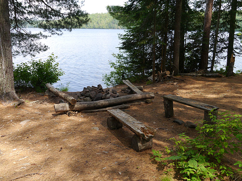 This is the firepit of the point's 'farside campsite'. (photo: BB) By the time we got back to our own campsite, the wind had finally dropped off. Our daytrip started out with trying to raise some Smallmouth Bass. We headed east around our point and headed toward the old embankment where the railway used to be. When the railway was being built, a trestle was first constructed across all the north shore bays. Then rocks, gravel and sand were dumped on top of it. The odd concrete culvert had been buried in the fill to allow water to continue flowing into the main part of the lake. With the tracks having been gone for many decades now, bushes and trees are well established along the embankment.  Bill at the bow, as we approach the old railway embankment. (photo: BB) 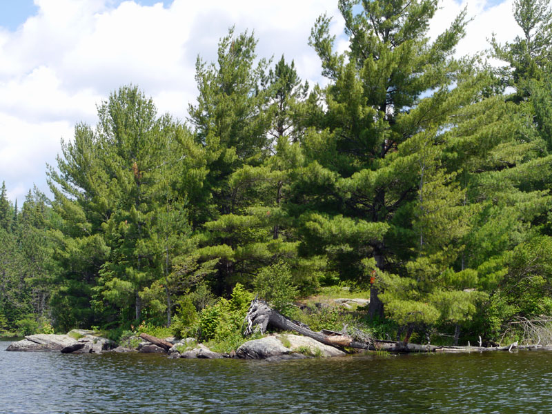 This campsite is on another point facing west up the lake. (photo: BB) 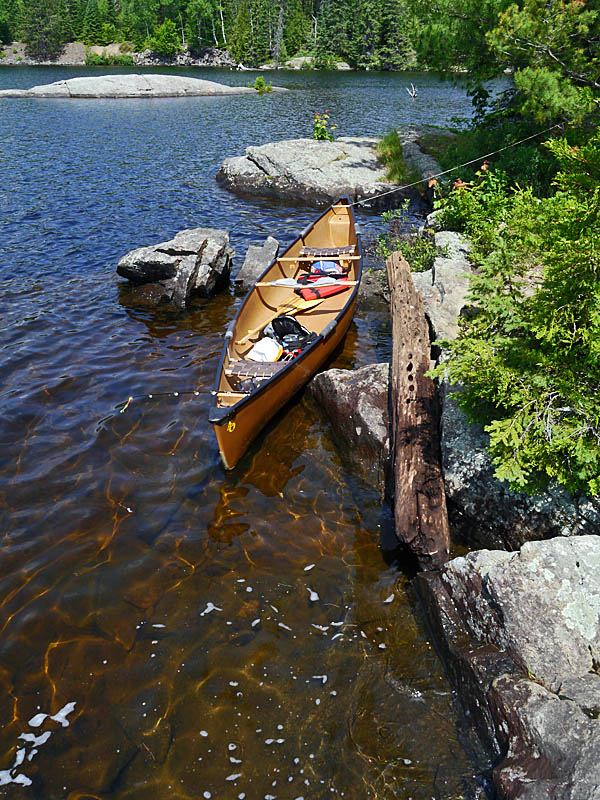 We came ashore to gather info for the Portage and Campsite Inventory. (photo: BB) We passed by a number of campsites. One was occuppied by campers with a powered inflatable boat. Galeairy Lake is probably home to a number of powerboats on weekends and prime summer weeks. We paddled close by another which was adorned with towels and other items, as if in an effort to keep it "saved" for the upcoming weekend. 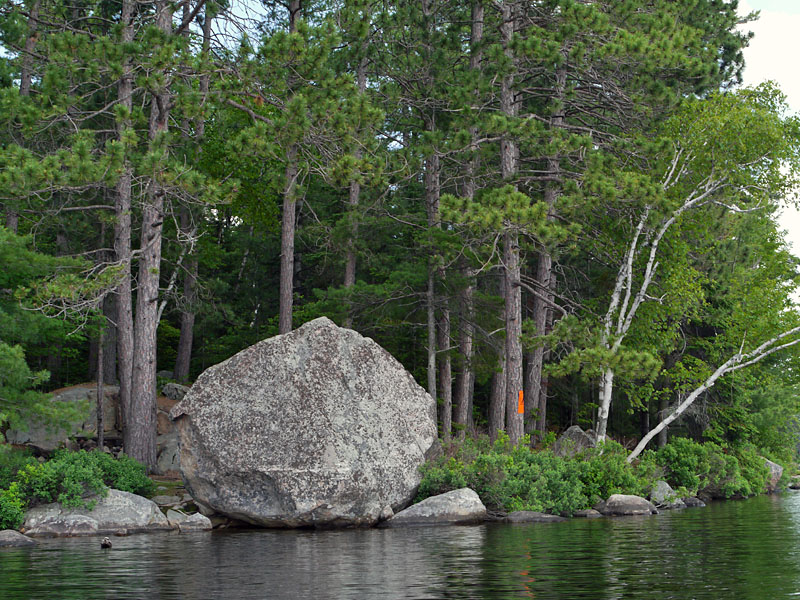 Further east, we came across this campsite with a "blocked view".. (photo: BB) 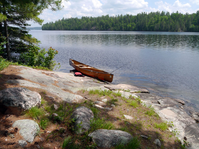 A bit beyond the large "erratic", we came across the campsite's landing and came ashore to explore. (photo: BB) The second campsite that we came ashore at had a gently-sloped rock serving as a landing. From this spot, we could look all the way to the village of Whitney over four kilometers downlake to the east. This campsite was similar to the other one we had come ashore at. It had only a couple of small tentsites! 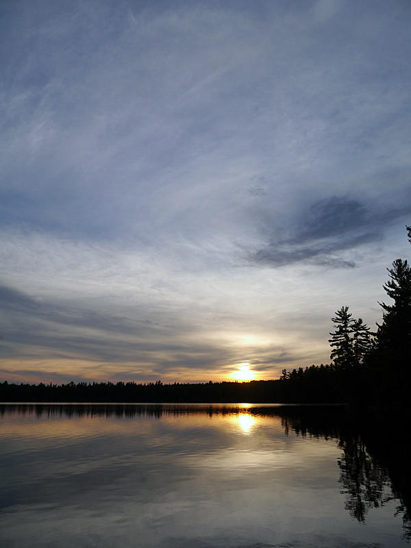 Another day's sunset from our campsite's rocky point. (photo: BB) Day 3 Bill got out early, taking a solo fishing circuit of the bay west of camp. Barry mucked around camp, taking his time with breakfast and filtering water. 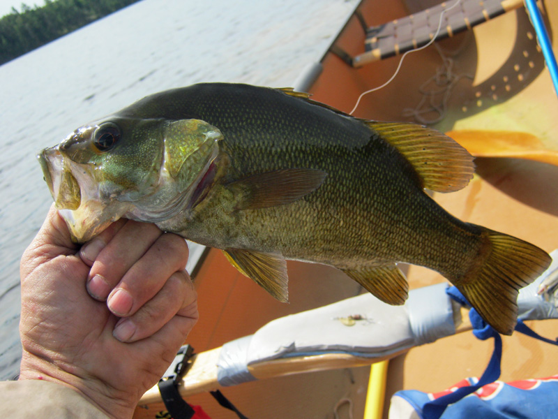 Bill got this healthy-looking Smallmouth Bass. (photo: BW) 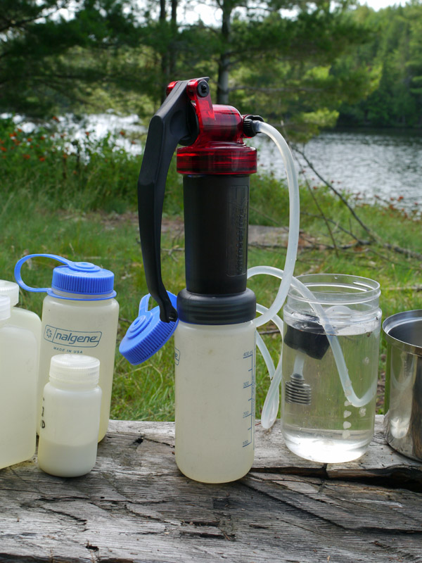 Barry's more mundane activity of filtering his water. (photo: BB) Once Bill had returned to camp, we collected our gear together for a mid-day exploration. Bill recounted how the small island in the bay looked as if it had been blasted by a storm. Given that the map showed a campsite to be located on it, we thought it would be interesting to head over there and check it out. 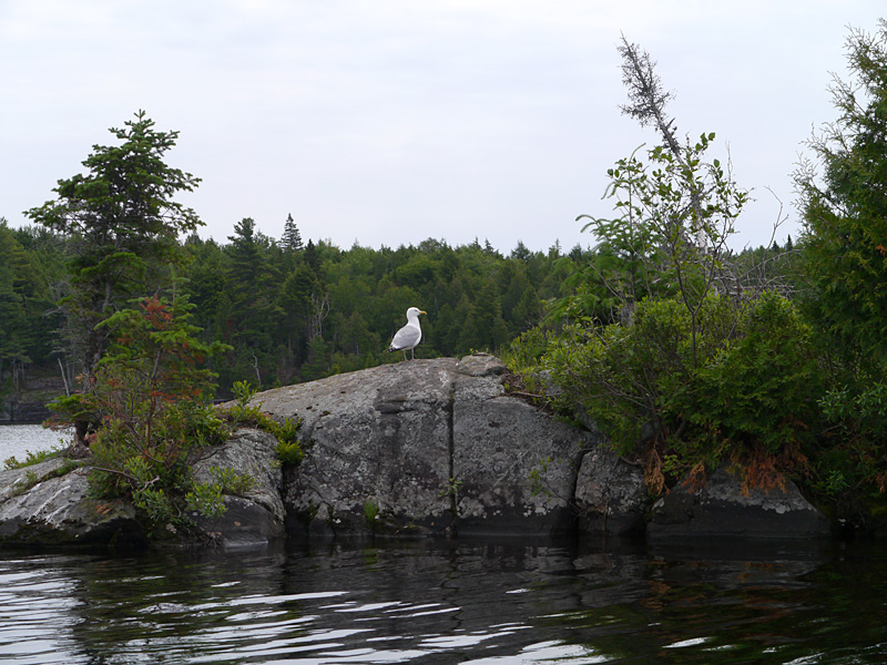 As we approached the island's north end the gulls got vocal. (photo: BB) 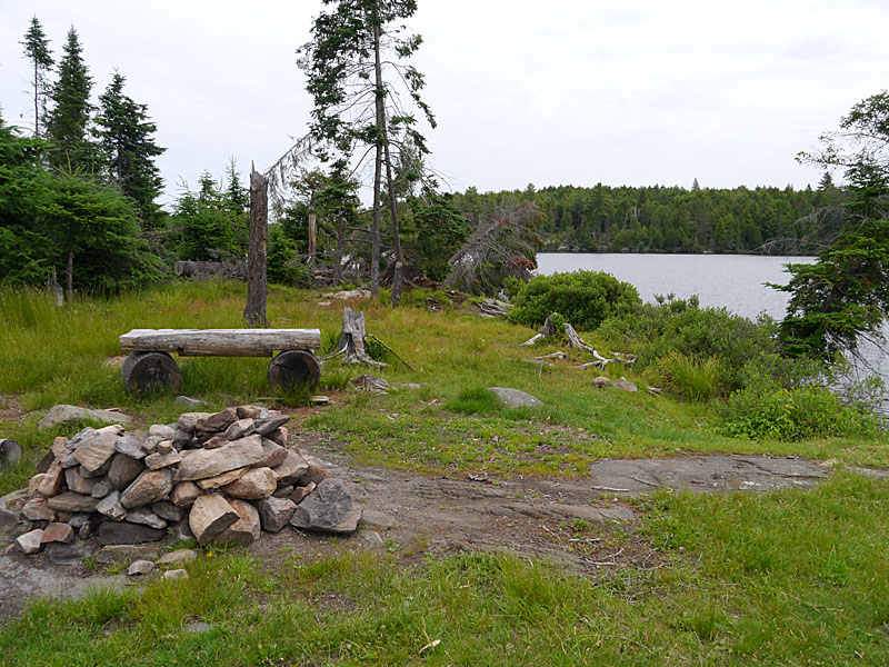 Over the years, this campsite has been all but devastated by high winds and fallen trees. (photo: BB) 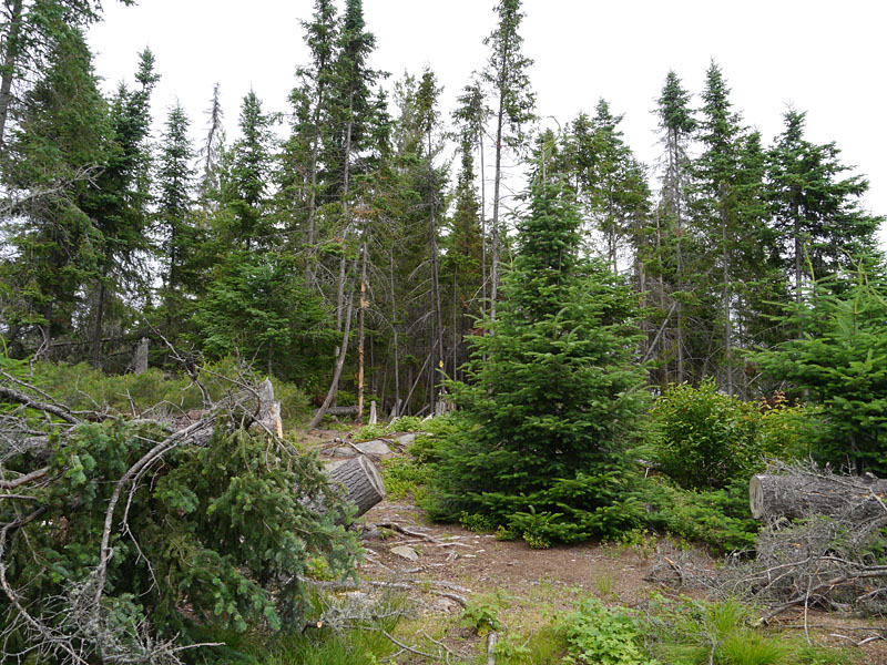 High water levels, combined with strong winds, have brought all the big trees down. (photo: BB) From the island, we headed south into Forest Bay. Barry hadn't caught a bass yet, so he was intent on doing so. We paddled along the bay's east shore, looking for promising 'bass structure'. 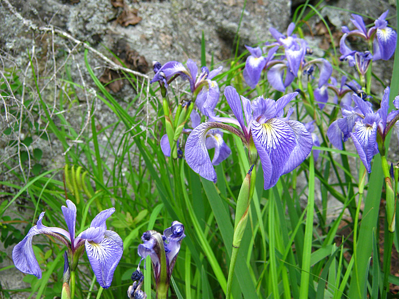 This batch of iris were growing of a shelf of rock just inches above the water's edge. (photo: BW) 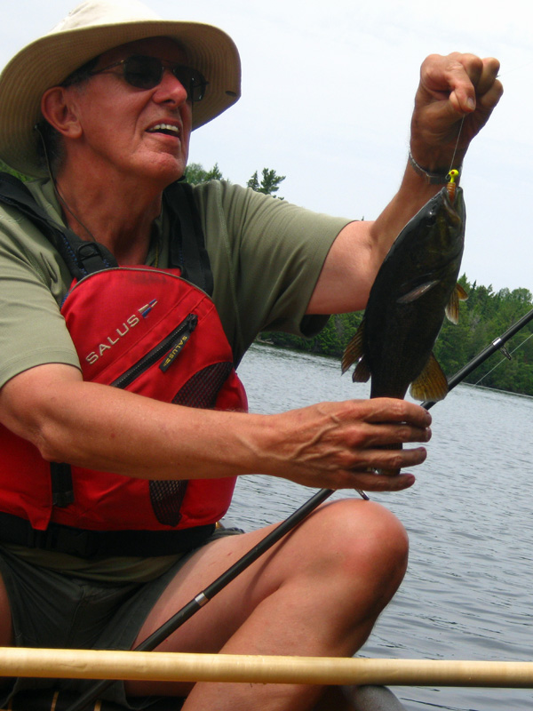 Finally Barry was able to catch a Smallmouth Bass. (photo: BW) We followed the east shore around a point and into the very eastmost part of the bay. A small creek spills out into the bay and a large sloped mass of rock rises to the south. We came ashore and climbed up the rock slope. 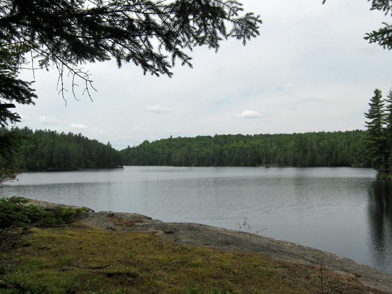 Looking across Farm Bay to its westmost part. (photo: BW) Jeff McMurtrie's map shows that there was once the 'Forest Bay Youth Camp' located further down the east shore. We wanted to see if any trace of it was visible from the water. So we returned to the canoe and headed south along the shore. 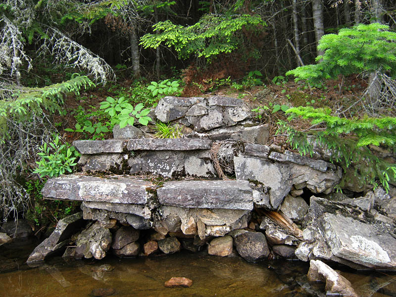 This was all we could find of the camp .. between the water and now dense forest. (photo: BW) Our next stop was at the campsite located to the left as one approaches the portage to Night Lake. The landing was in a small bay of sorts, framed by pieces of floating wood. The firepit is very close to the water, with some angled rocks close by for lounging. However past that, there's only a pair of very small tentsites very far up the hillside. And the thunderbox is even faurther up the hill! All in all, its a very limited campsite .. both in size and accessibility. 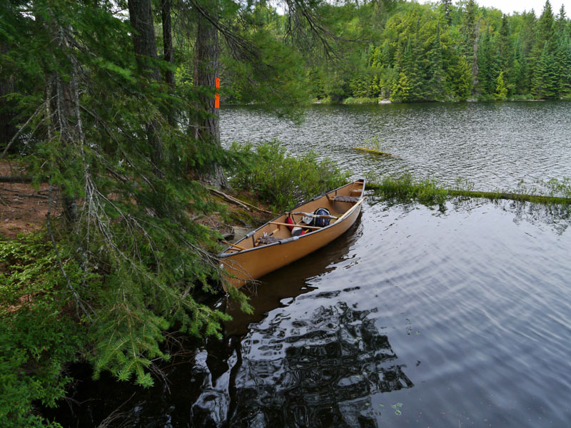 The quaint landing gives a cosey impression to this campsite. (photo: BB) 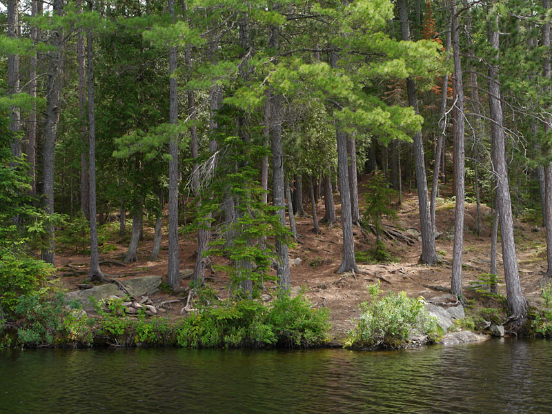 The campsite rises quite steeply up the hill and into the forest. (photo: BB) When crossing the portage from Rock Lake, we had met a young couple who were also coming from Rock Lake. The previous day, they had circled around from Galeairy Lake by way of the portages through Night and Pen Lake. We had no intention of doing so, but we did want to hike the shorter 80 meter portage to Night Lake. 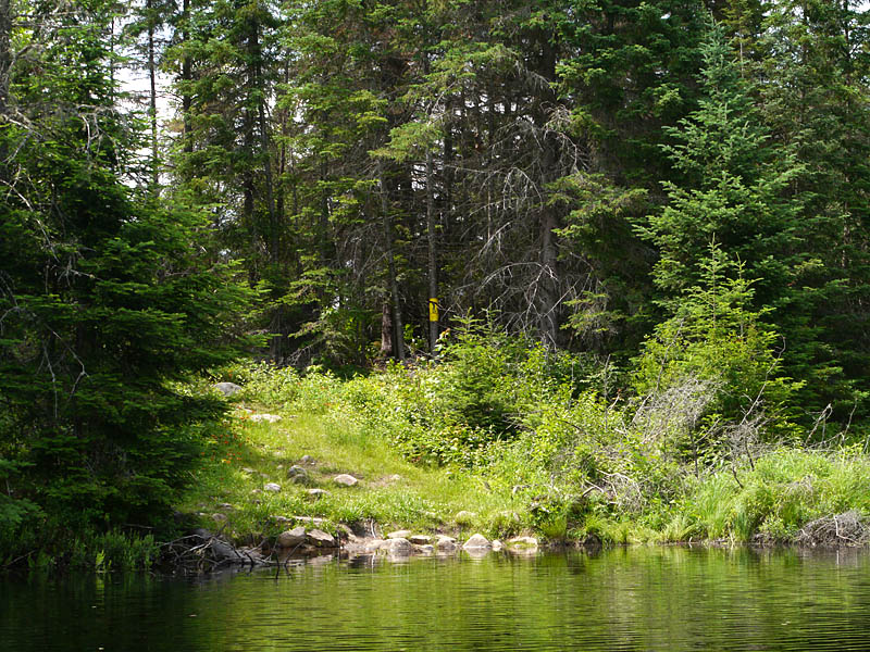 The landing at the portage was relatively easy and moderately well used. (photo: BB) 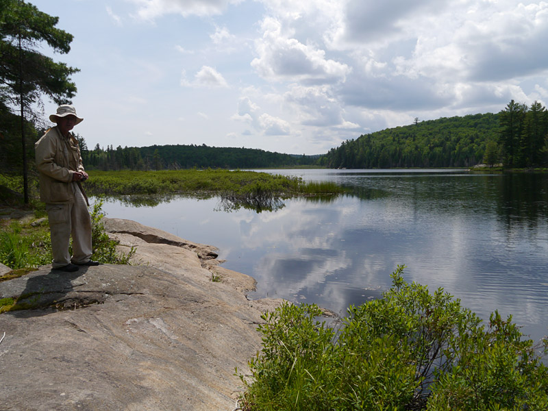 The portage to Pen Lake is located right across Night Lake. (photo: BB) 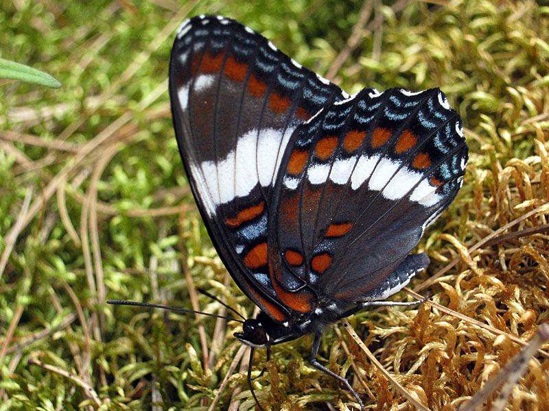 Bill found this butterfly flitting about the Night Lake shore. (photo: BW) The return to camp was rather easy going until we heard the rumbling of thunder to the west. While there was no appreciable wind, it was increasingly obvious to us that some serious weather was developing. Storm clouds were working eastward, to the north and south. It took a long time for them to arrive at the campsite. In the meantime we had dinner and occuppied ourselves waiting for the storm to arrive. 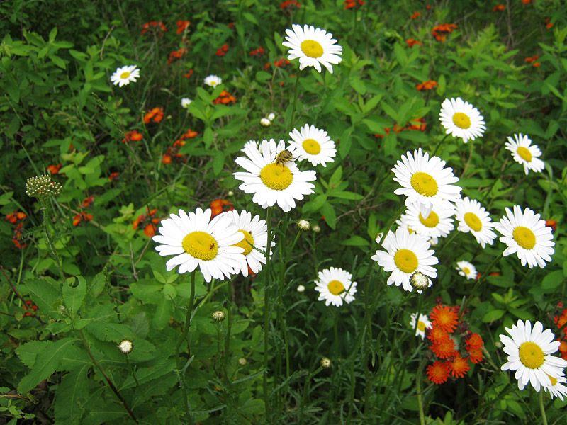 Bill captured some bugs busy amongst the campsite flowers. (photo: BW) 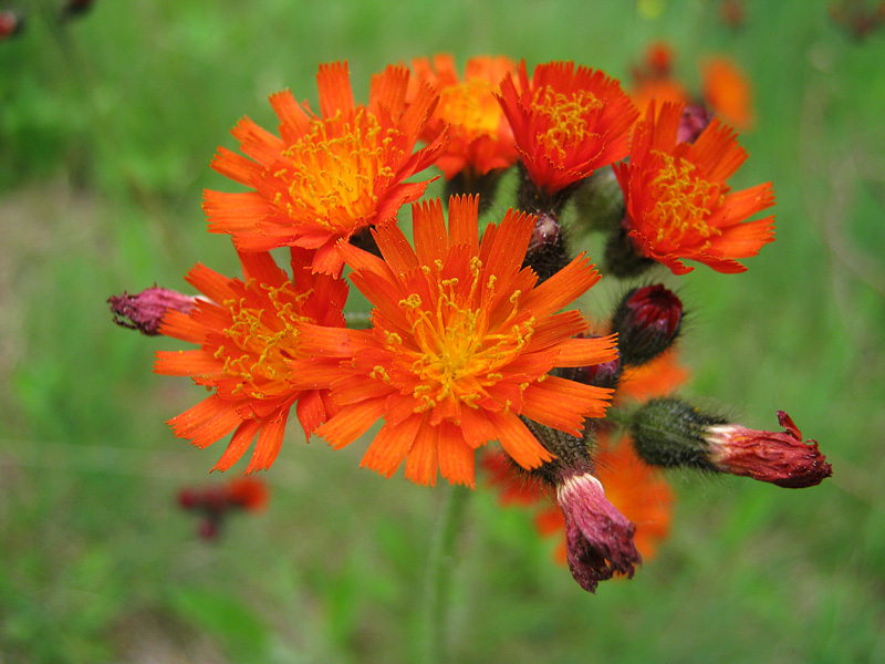 These bright red flowers were a contrast to the growing clouds. (photo: BW) 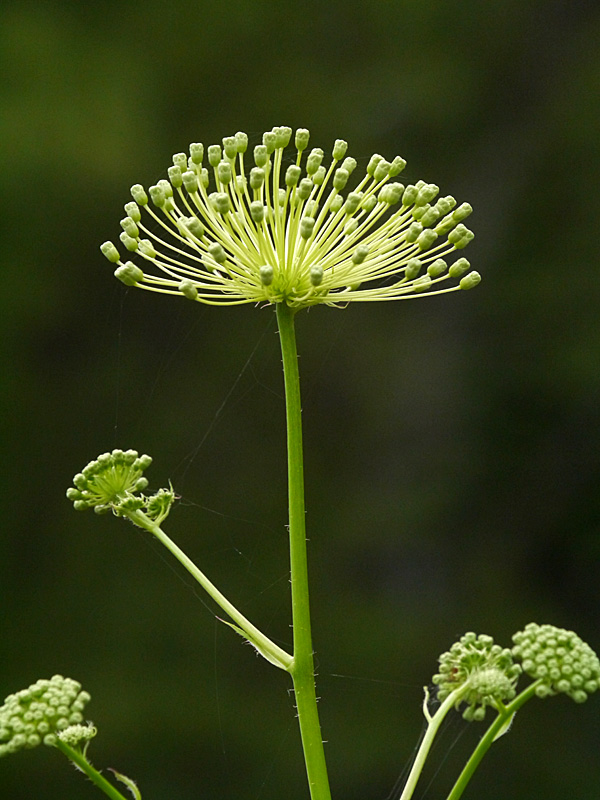 These didn't look to have flowered out yet. (photo: BB) 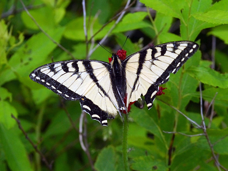 This butterfly showed up just a few minutes before the rain started. (photo: BB) The storm finally hit with a solid downpour and lots of crashing thunder. Thank goodness Bill had put-up a solid and spacious rain tarp. We were able to sit in our chairs and enjoy a lengthly conversation. One particular lightening strike hit close-by with an accompanying "CRACK" that definitely got our attention! The balance of the evening was uneventful. Day 4 Thankfully, the following morning was dry and not too breezy. We broke-down camp at a leisurely pace and were soon on our way back to Rock Lake and hot showers. MAP 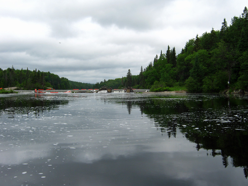 Back to Rock Lake .. ample water-foam reminded us of the previous night's storm. (photo: BW) End.
|