 Whitefish Lake Campsite #2
Location: N45° 32.936' W78° 25.231'
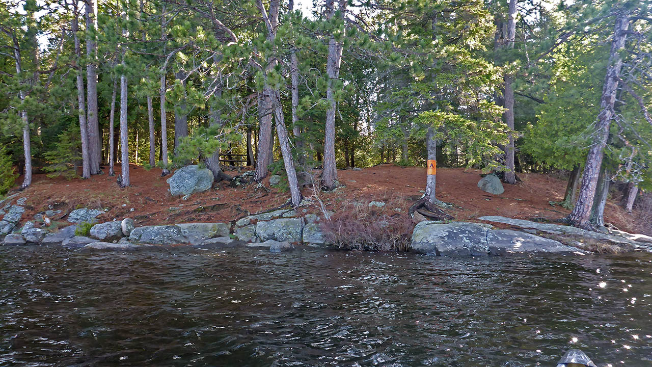
Landing
Topography of under-water approach: Large flat rock with a significant drop-off.
Impediments to disembarking from and/or unloading a canoe: None.
Topography to tent sites: A short smooth carry up a slight incline.
Landing, an easy climb to the site ...
![]()
Campsite
Campsite maintenance: Regular.
Size of open area: 20m x 8m.
Extent of tree cover: 70%.
Degree of levelness: Generally level with some rocks and roots.
Number of level tent sites: 5+.
North exposure: Trees.
East exposure: Trees.
South exposure: Lake.
West exposure: Lake.
General description: A large site that has numerous tenting options and even though it is somewhat rocky and rooty, it could hold more than 5 tents if needed. Level, but drops off at the shore all around the site. The picnic table is a nice touch when you're "roughin" it.
Overall accessibility: A short climb from the landing area.
The picnic table and the recycle can are a nice touch ...

![]()
Looking from the landing north with rising sun lighting up the back of the site ...

![]()
View from east side of site ...

![]()
Looking south from back of site ...

![]()
Site diagram ...

![]()

Thanks to Jeffrey McMurtrie of Jeff'sMap for supplying the base-layer map component by Creative Commons licensing.
Submitted by Chris Taylor .. Visited May 2016 .. Submission September, 2016