 Waterclear Lake to Club Lake Portage
Length of portage: 350 meters.
Portage maintenance regular or low: Regular.
Elevation above Sea Level @ Waterclear Lake is 334 meters.
Elevation above Sea Level @ Club Lake is 334 meters.
Difference in elevation: 0 meters.
Elevation of highest point: 335 meters. Overall rise/fall: 1 meters.
Landing at Waterclear Lake
Co-ordinates of location: N46° 02.639' W78° 45.874'
Topography of under-water approach: Shallow water, sand and silt.
Impediments to disembarking from and/or unloading a canoe: None.
Topography of the ascending grade: Slight grade.
Impediments to moving gear to portage trail: None, open, level area.
Portage at Waterclear Lake ...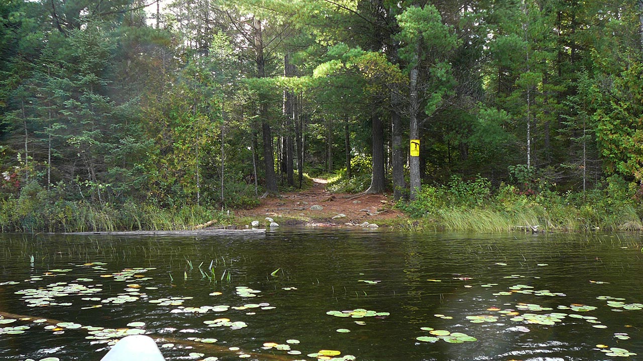

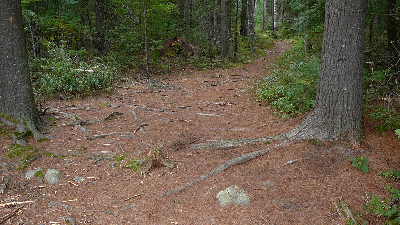
Portage Trail
General description: A nice walk with gradual elevation changes. Part of the trail goes thru a wetland area.
Topographical impediments to travelling: None.
Areas susceptible to impact by periods of rain or beaver flooding: None evident
A bridge to cross the wetlands on this trail ...
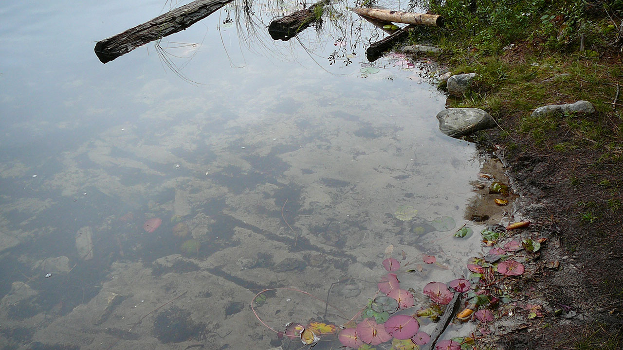
Landing at Club Lake
Co-ordinates of location (optional): N46° 02.532' W78° 45.704'
Topography of under-water approach: Very shallow water, mud and silt. The trees on the side of the put-in are useful in dragging your canoe into or out of the water.
Impediments to disembarking from and/or unloading a canoe: Mud, this is a wet landing. Carrying gear to and from haulage area and canoe is recommended..
Topography of the ascending grade: Slight grade.
Impediments to moving gear to portage trail: None
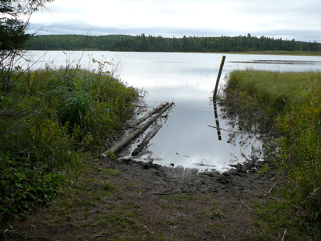
View from Club Lake ...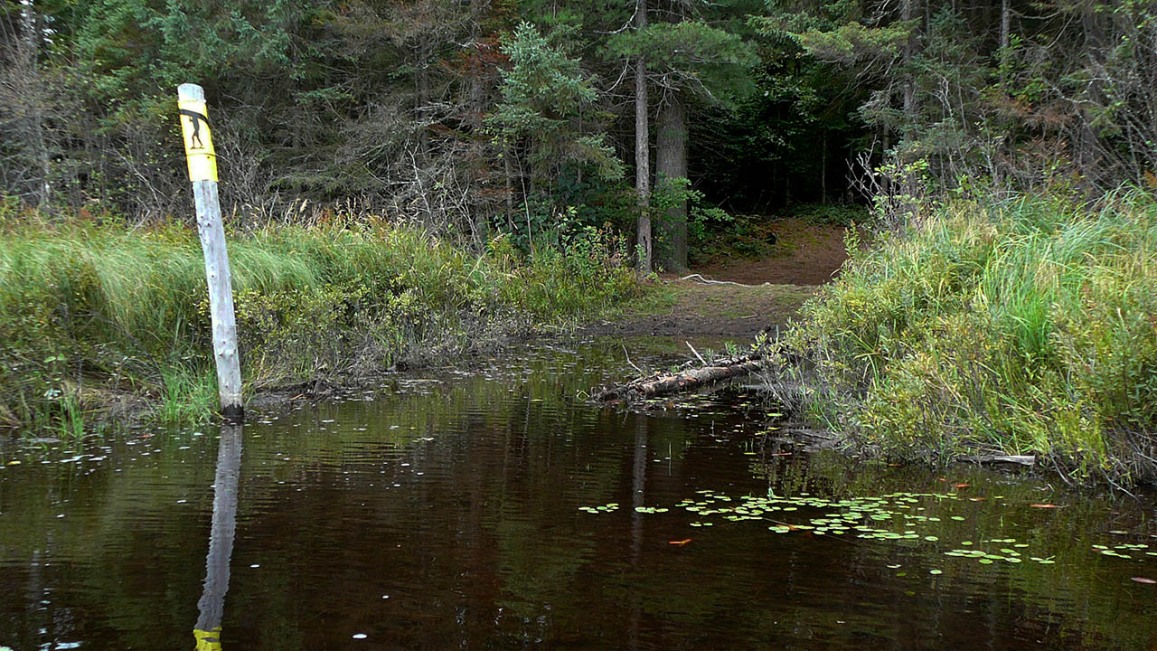

Thanks to Jeffrey McMurtrie of Jeff'sMap for supplying the base-layer map component by Creative Commons licensing.
Submitted by Chris Taylor, visited September 2014, submitted October 26, 2014