 Upper Kawa Lake Campsite #2
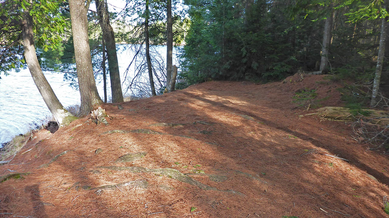
Landing
Topography of under-water approach: Small rocks and gravel.
Impediments to disembarking from and/or unloading a canoe: None.
Topography to tent sites: Once you have landed, you are on the site.
Campsite seen from lake ...
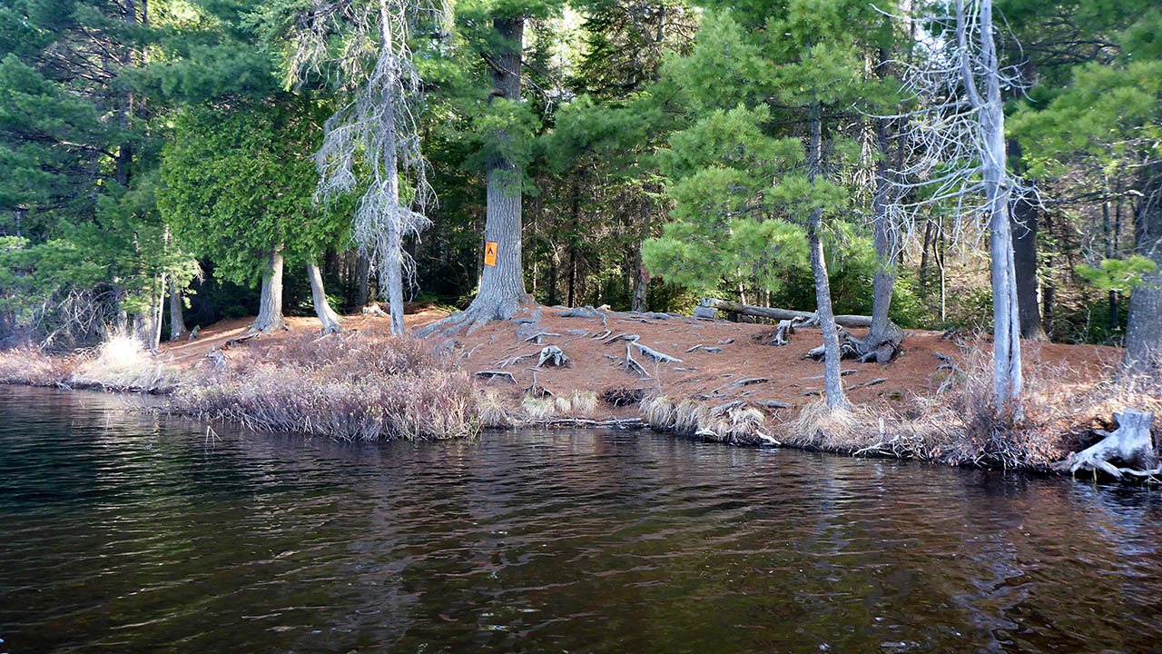
![]()
Campsite
Campsite maintenance: Regular.
Size of open area: 15m x 5m.
Extent of tree cover: 50%.
Degree of levelness: Fairly level.
Number of level tent sites: 3.
North exposure: Trees.
East exposure: Trees .
South exposure: View of lake.
West exposure: View of lake.
General description: A nice site on a small pretty lake. There were 2 levelled tentpads, as well as some flat spots that would serve well for tents. A small firepit that appears fairly unused.
Overall accessibility: No real issues as the site is right at waters edge.
Firepit ...
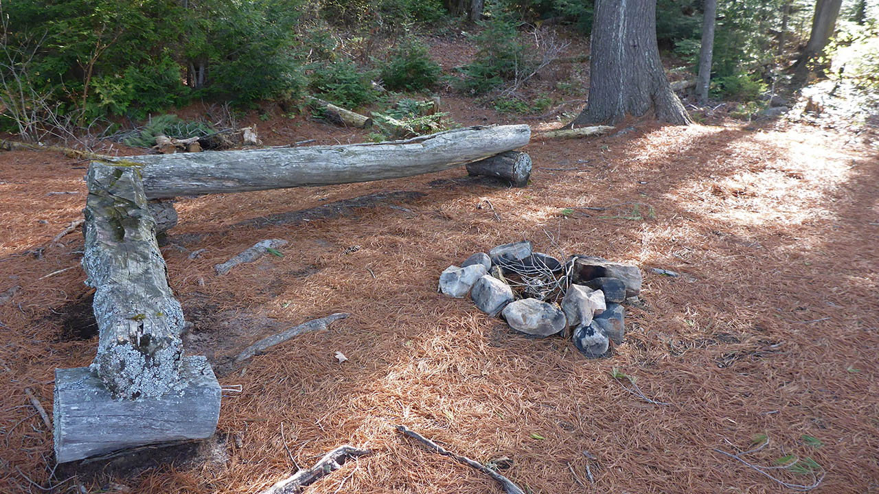
![]()
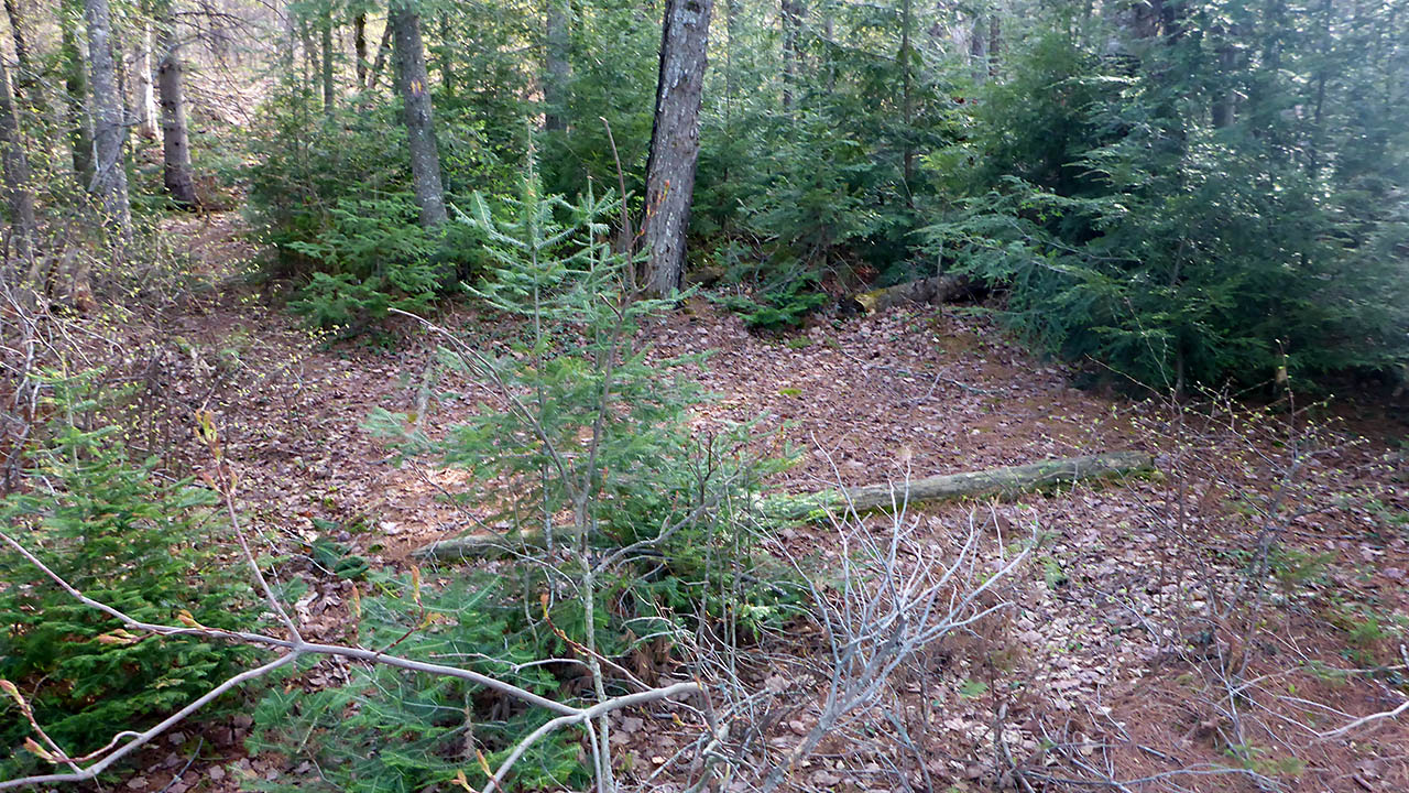
Looking from northwest over entire site ...
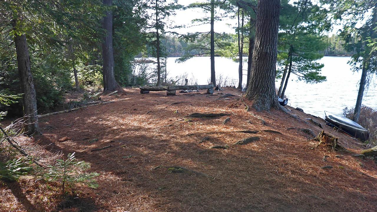
![]()
Levelled tentpad at southeast of site ...
![]()
Tentpad at back center of site ...
![]()
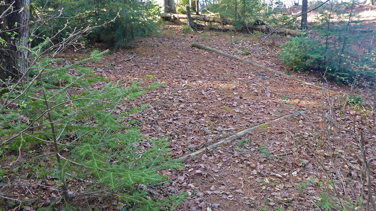
Level area for tent at northeast end of site ...
![]()
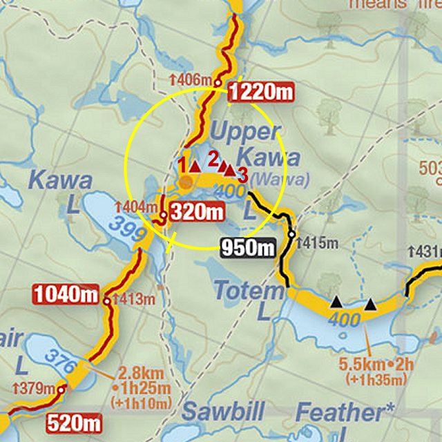
Thanks to Jeffrey McMurtrie of Jeff'sMap for supplying the base-layer map component by Creative Commons licensing.
Submitted by Chris Taylor .. Visited May, 2018 .. Submission Nov. 2018