 Portage 1220 meters - Upper Kawa To Three Mile
Length of portage: 1220 meters.
Portage maintenance regular or low: Regular.
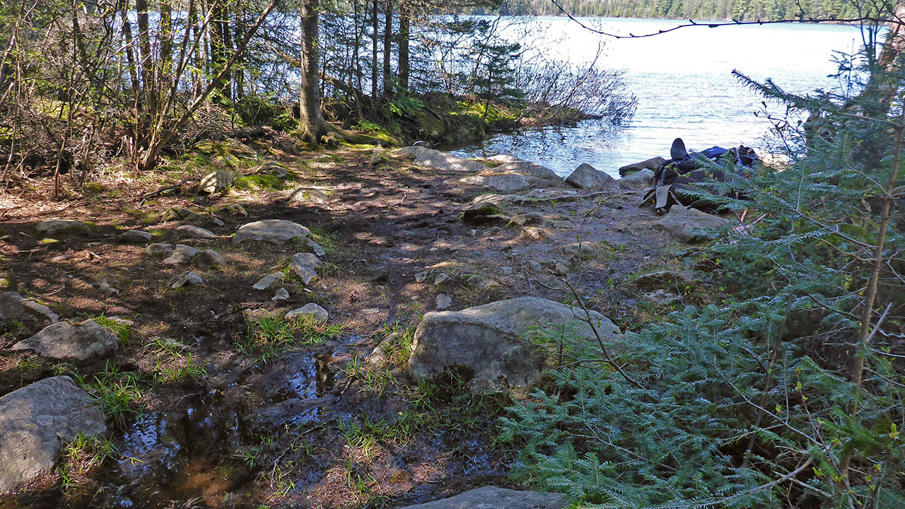
Landing on Upper Kawa Lake (elevation 400m)
Topography of under-water approach: Small rock, mud and silt.
Impediments to disembarking from and/or unloading a canoe: None.
Topography of the ascending grade: Gravel path has slight incline to the start of the trail.
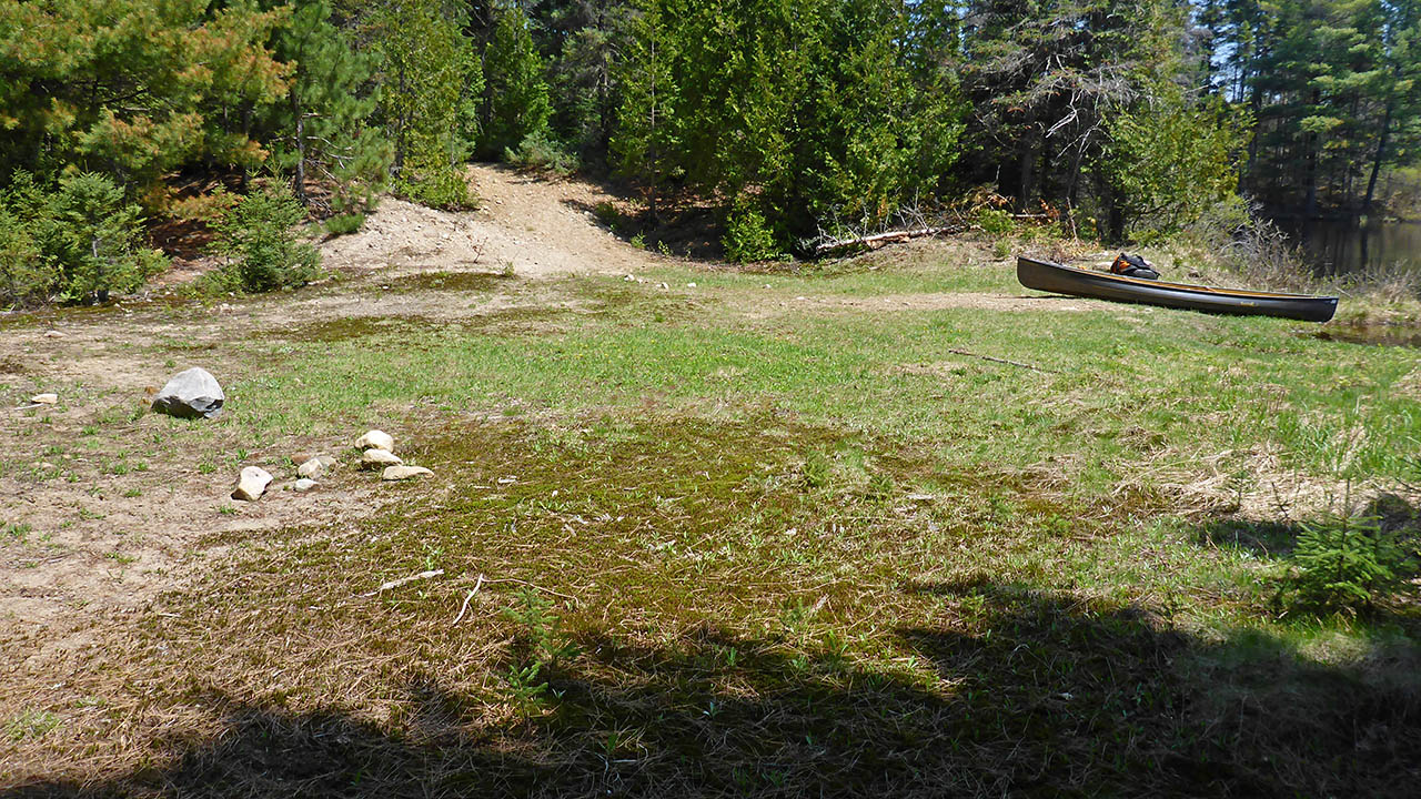
Impediments to moving gear to portage trail: No issues. The staging area is a large field (approx. 30m x 20m) The trail starts at the NE corner of the landing area. On the northern boundary of the landing area is access to a maintenance road that can be mistaken as the beginningof the portage trail.
Big grassy landing and staging area ...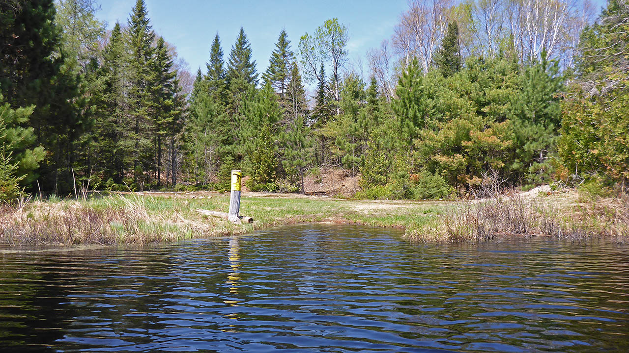

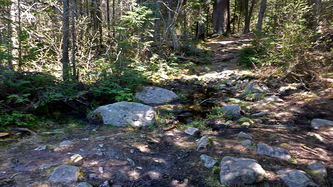
Portage Trail (peak elevation 406m)
Elevation profile ...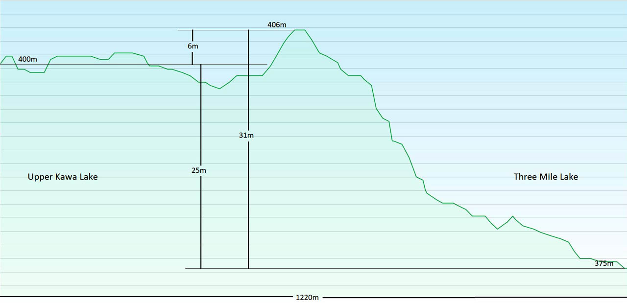
Landing at Three Mile Lake (elevation 375 meters).
Topography of under-water approach: Sand, knee-deep water.
Impediments to disembarking from and/or unloading a canoe: Landing is lined with rocks.
Topography of the ascending grade: Rocky and rooty ground.
Impediments to moving gear to portage trail: A small rocky landing area is used to assemble gear for the portage.
A small landing ...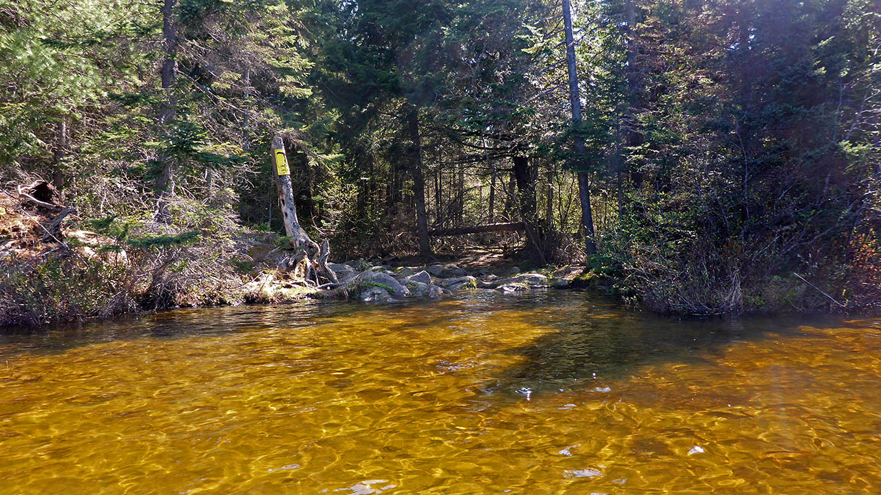

Thanks to Jeffrey McMurtrie of Jeff'sMap for supplying the base-layer map component by Creative Commons licensing.
Submitted by Chris Taylor, visited May 2015, submitted November, 2019