 Tim River - Lower Pine River - Campsite #2
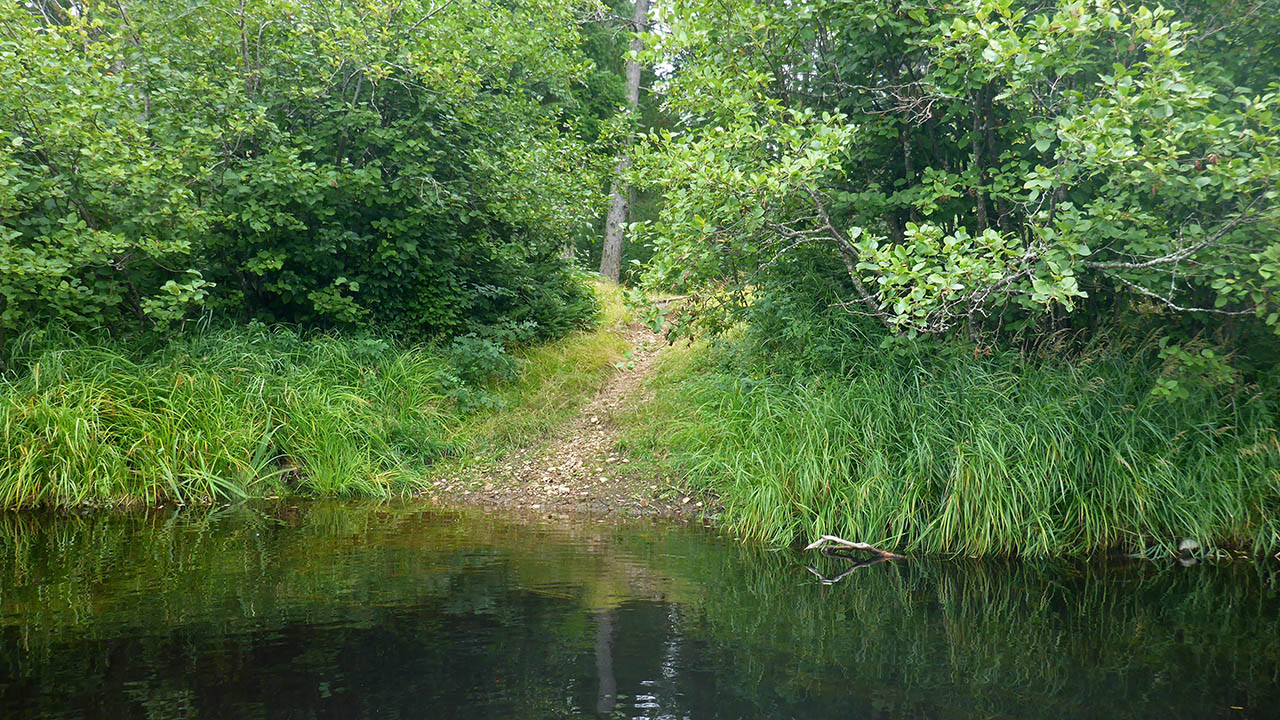
Landing
Topography of under-water approach: Sand and gravel with a significant slope.
Impediments to disembarking from and/or unloading a canoe: None.
Topography to tent sites: A short carry up path from river.
Small gravel landing ...
![]()
Campsite
Campsite maintenance: Regular.
Size of open area: 10m x 5m.
Extent of tree cover: 10%.
Degree of levelness: Level.
Number of level tent sites: 2+.
North exposure: Obstructed view of river.
East exposure: Trees.
South exposure: Trees.
West exposure: Obstructed view of river.
General description: A flat and level site with little overhead protection as most of the trees have suffered from blowdown over time. A nice firepit, and the site is able to accommodate 2 tents (more could be squeezed in as this is a relatively level site).
Overall accessibility: No problems.
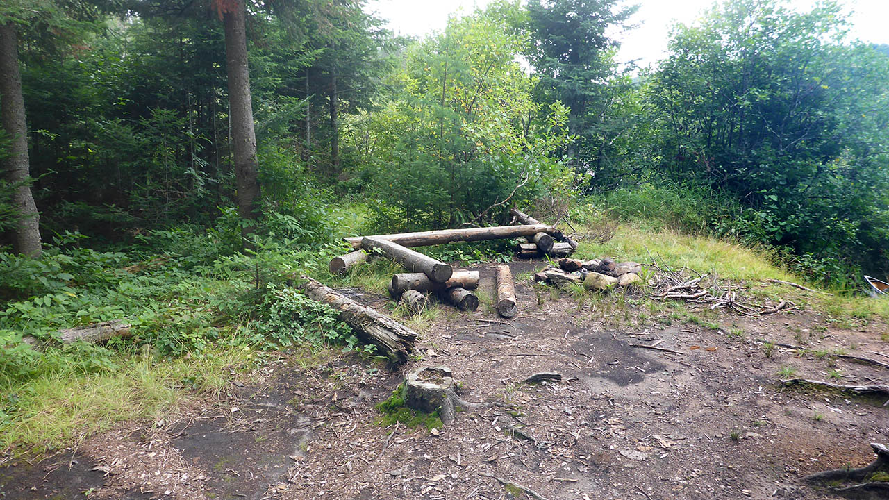
Firepit ...
![]()
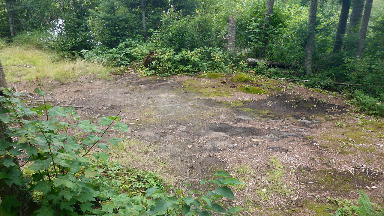
Tentpad to north of firepit ...
![]()
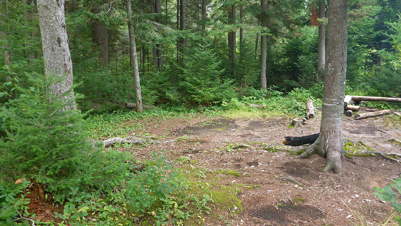
Looking back at firepit from tentpad ...
![]()

Thanks to Jeffrey McMurtrie of Jeff'sMap for supplying the base-layer map component by Creative Commons licensing.
Submitted by Chris Taylor .. Visited August, 2018 .. Submission November 24, 2018