 Tattler Lake Campsite #1
Landing
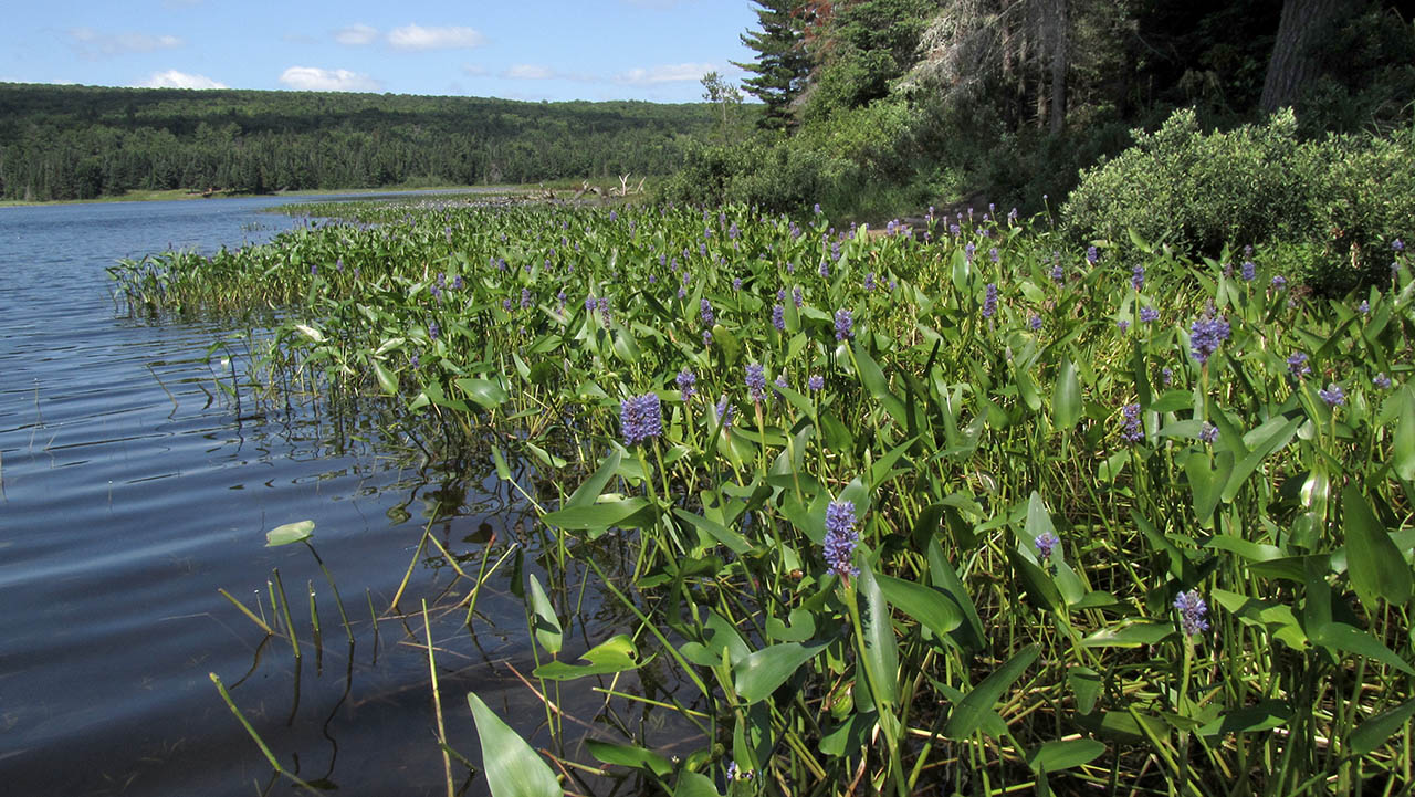
Topography of under-water approach: Shallow muck slope, with dense weeds on either side.
Impediments to disembarking from and/or unloading a canoe: Muck over somewhat firm bottom.
Topography to tent sites: A short gentle slope to tentsites.
A narrow slot in the weeds leads to a shady clearing in the shoreline trees ...
![]()
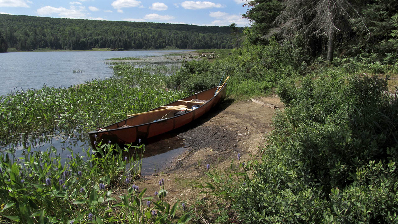
The landing is a dirt beach and the Tattler Cabin's clearing is visible across the lake ...
![]()
Campsite
Campsite maintenance: regular
Size of open area: Actual firepit and tentsite area is amidst the trees.
Extent of tree cover: Tree cover over most of the campsite. .
Degree of levelness: The tentsites and firepit are on a smooth, small level area.
Number of level tent sites: Room for three small tents close to the firepit.
North exposure: Solid forest blocks the north wind.
East exposure: Trees block the view and east wind.
South exposure: A row of trees interrupt the south view of the narrow part of the lake.
West exposure: The true-west exposure is blocked by trees. Stepping out to the landing area, one can see across the main part of the lake toward the Tattler Lake Cabin.
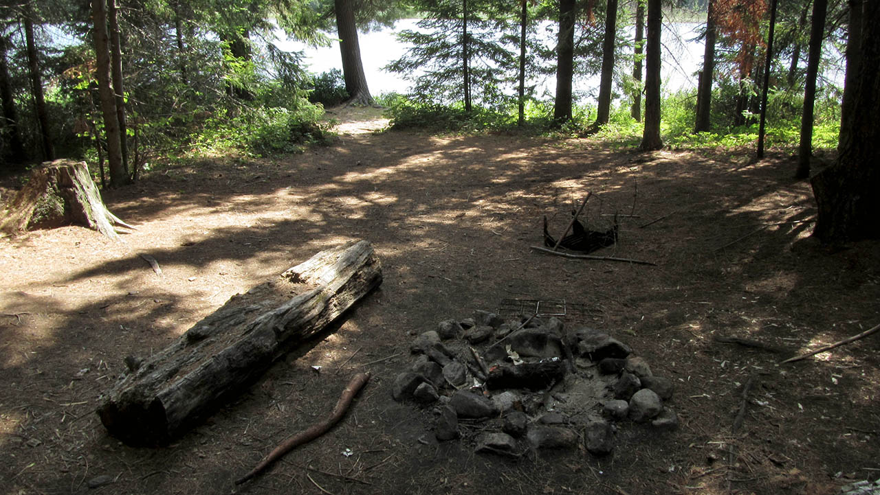
The firepit and tentsites are set-back within the shade of the trees ...
![]()
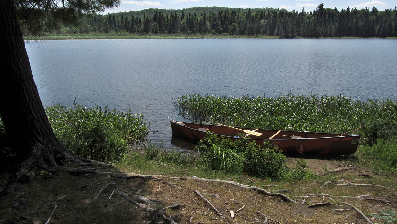
This small open area is close to the landing and provides afternoon sun and a southwest view across the lake ...
![]()
General description: This campsite is small, shady and secluded. It has no shoreline rocks for sitting on, swimming from or gathering water from. It provides no cooling or bug-chasing breezes due to its heavily treed nature.
Overall accessibility: Other than having to come ashore on a potentially mucky dirt beach, this site has no accessibility issues.

Thanks to Jeffrey McMurtrie of Jeff'sMap for supplying the base-layer map component by Creative Commons licensing.
Submission January 7, 2014 by Barry Bridgeford .. visited July 18, 2012