 Shirley Lake Campsite #6
Landing
Topography of under-water approach: Sand and gravel beach.
Impediments to disembarking from and/or unloading a canoe: None.
Topography to tent sites: Substantial sand and gravel rise.
Looking north up the lake and up the trail to the campsite ...
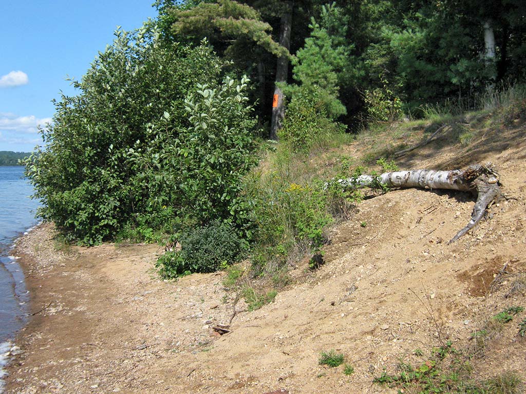
![]()
Between the bushes and up the shoreline embankment ...
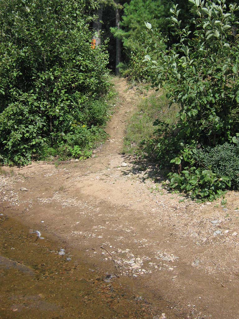
![]()
Campsite
Campsite maintenance: regular
Size of open area: Very large open flat meadow area to the south of the forest, and a smaller area around the firepit.
Extent of tree cover: 25%.
Degree of levelness: All on one flat level.
Number of level tent sites: Room for plenty of tents.
North exposure: Forest.
East exposure: Forest.
South exposure: Open meadow.
West exposure: Except for a line of trees, open to the lake.
This open meadow area is at the top of the embankment and is often used as a fair-weather tentsite area ...

![]()
Tucked behind the trees to the north is the firepit area ...
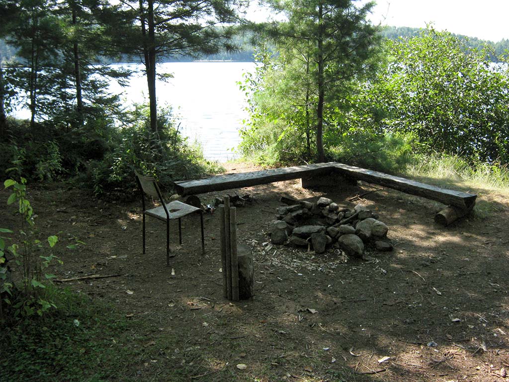
![]()
The area behind the firepit has been reforested in rows ...
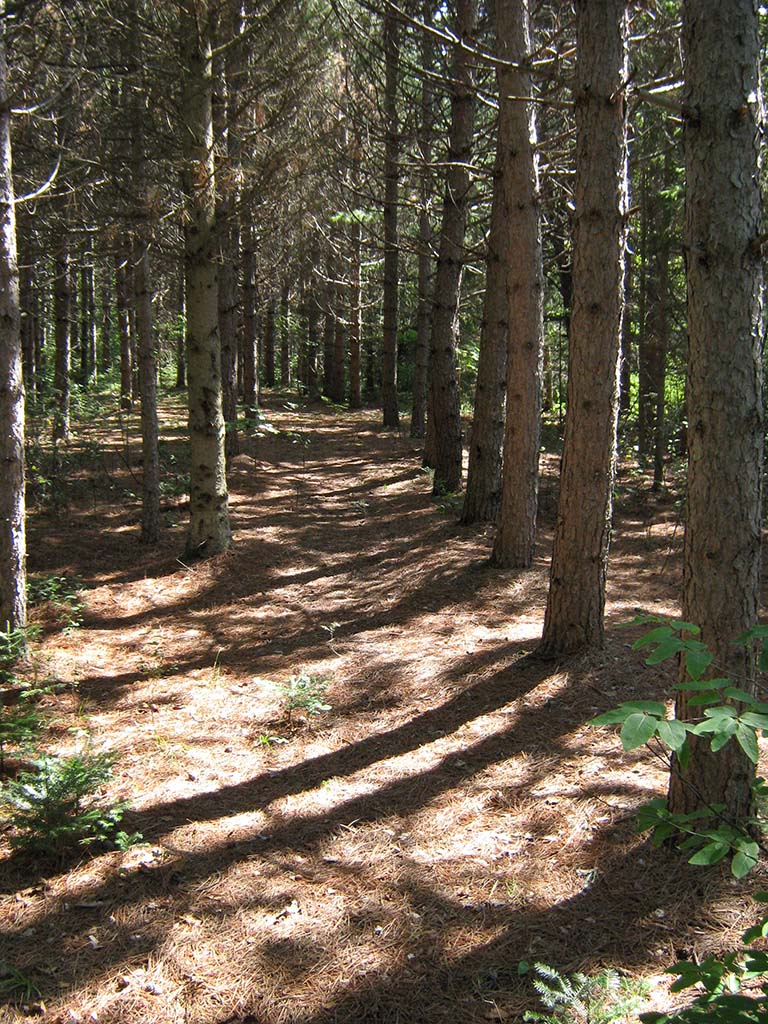
![]()
General description: This campsite is unfortunately accessible to 'off-season' vehicles from a nearby logging road. Tire tracks and the odd bit of 'furniture' show up here. However, during the summer, it does offer a plenty of room for large groups, along with a meadow-trail-connection to the portage to Ryan Lake.
Overall accessibility: This campsite is quite accessible, perhaps to a fault.

Thanks to Jeffrey McMurtrie of Jeff'sMap for supplying the base-layer map component by Creative Commons licensing.
Submission Nov., 2013 by Barry Bridgeford .. visited August 2010