 Shirley Lake Campsite #2
Landing
Topography of under-water approach: Long sand and fine gravel beach.
Impediments to disembarking from and/or unloading a canoe: None.
Topography to tent sites: A slight sandy rise and step up to the eroded edge of the campsite.
A sand and gravel beach runs along the entire waterfront...

![]()
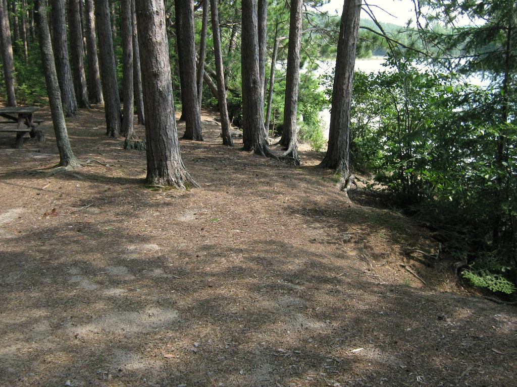
A slight sand slope ends in a step up a small eroded embankment, to the campsite ...

![]()
Campsite
Campsite maintenance: regular
Size of open area: Tentsites and firepit are under large pine trees. Area of short new growth immediately inland of the campsite adds to an 'open' feel.
Extent of tree cover: Trunks of the overhead pines provide plenty of support for the stringing up of tarps.
Degree of levelness: Firepit and tentsites are all level with one another.
Number of level tent sites: Could conceivably take seven or eight smaller tents.
North exposure: Short new conifers provide sense of 'openess', but dense forest beyond that blocks the worst wind.
East exposure: Blocked from east wind by conifer forest.
South exposure: Thin row of bushes blocks some of the view and wind.
West exposure: Blocked by young forest.
A row of bushes along the embankment provides privacy from the lake ...
![]()
The firepit is on the same large open flat space as the tentsites ...
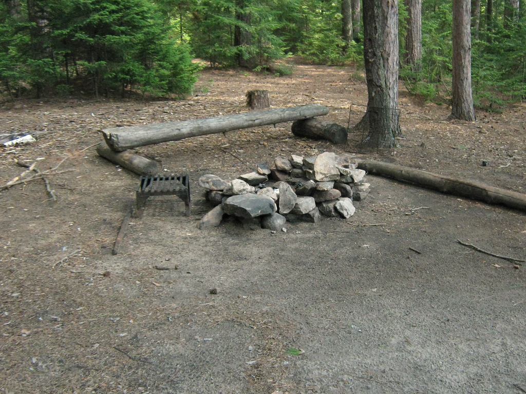
![]()
General description: While this campsite has a sense of 'openess' to it, due to the height fo the overhead pines, they do provide plenty of protective tarp-tying opportunites. The campsite's large flat area is good for children to play games, as is the long beach area. However, while there's a good view of the lake, there are no sunning or sunset-viewing rocks here.
Overall accessibility: This campsite is quite accessible.

Thanks to Jeffrey McMurtrie of Jeff'sMap for supplying the base-layer map component by Creative Commons licensing.
Submission May, 2013 by Barry Bridgeford .. visited 2006 and 2010