 Ragged Lake Campsite #20
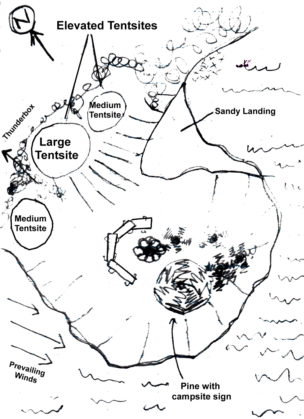
Landing
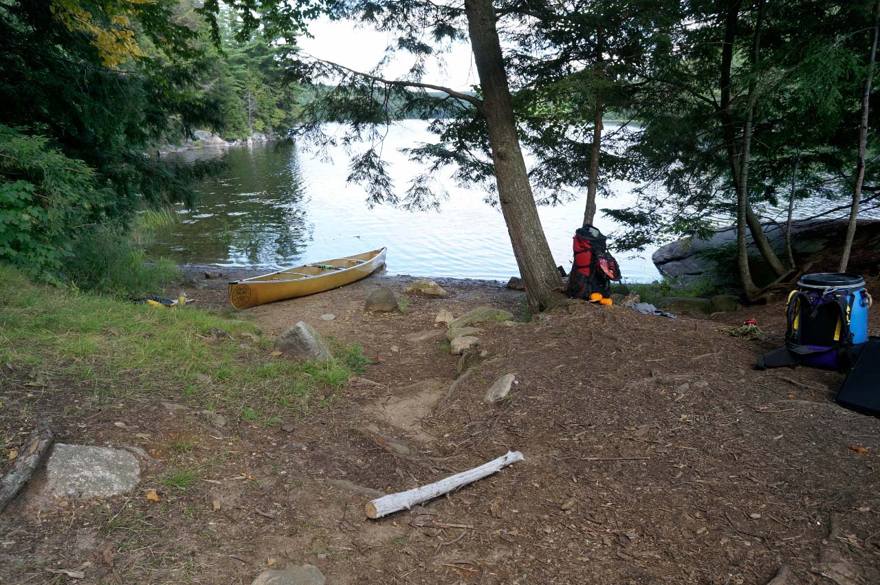
Topography of under-water approach: Sandy landing from the east side.
Impediments to disembarking from and/or unloading a canoe: None.
Topography to tent sites: Coming up from the landing, there's a 1.5 meter elevation leading to the firepit. Then there's another 1.5 meter elevation to the main tent site areas. There's one medium tent site on the same level as the fire pit, and two other (large and medium-sized) on the elevated area.
Looking east is the sandy landing ...
![]()
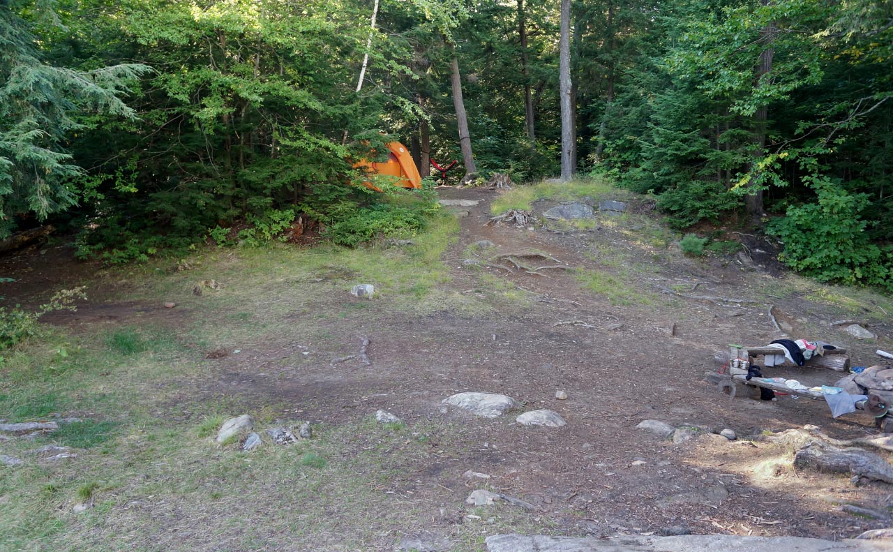
Looking south from the large tent site, the landing is to the left. The rest of the shoreline descends steeply into the water ...

![]()
Medium tent site to the left .. larger tent site is occupied by a 6-person Marmot Tent. Another medium tent site is to the right ... ...
![]()
Campsite
Regular or low-maintenance: Regular.
Size of open ground area: Very open, large.
Extent of tree cover: Tent sites have reasonable coverage, especially as the prevailing winds come from the north-west.
Degree of levelness: Fire pit and tent sites are level.
Number of tent sites: 3.
North exposure: Trees.
East exposure: Lake.
South exposure: Lake.
West exposure: Lake bay.
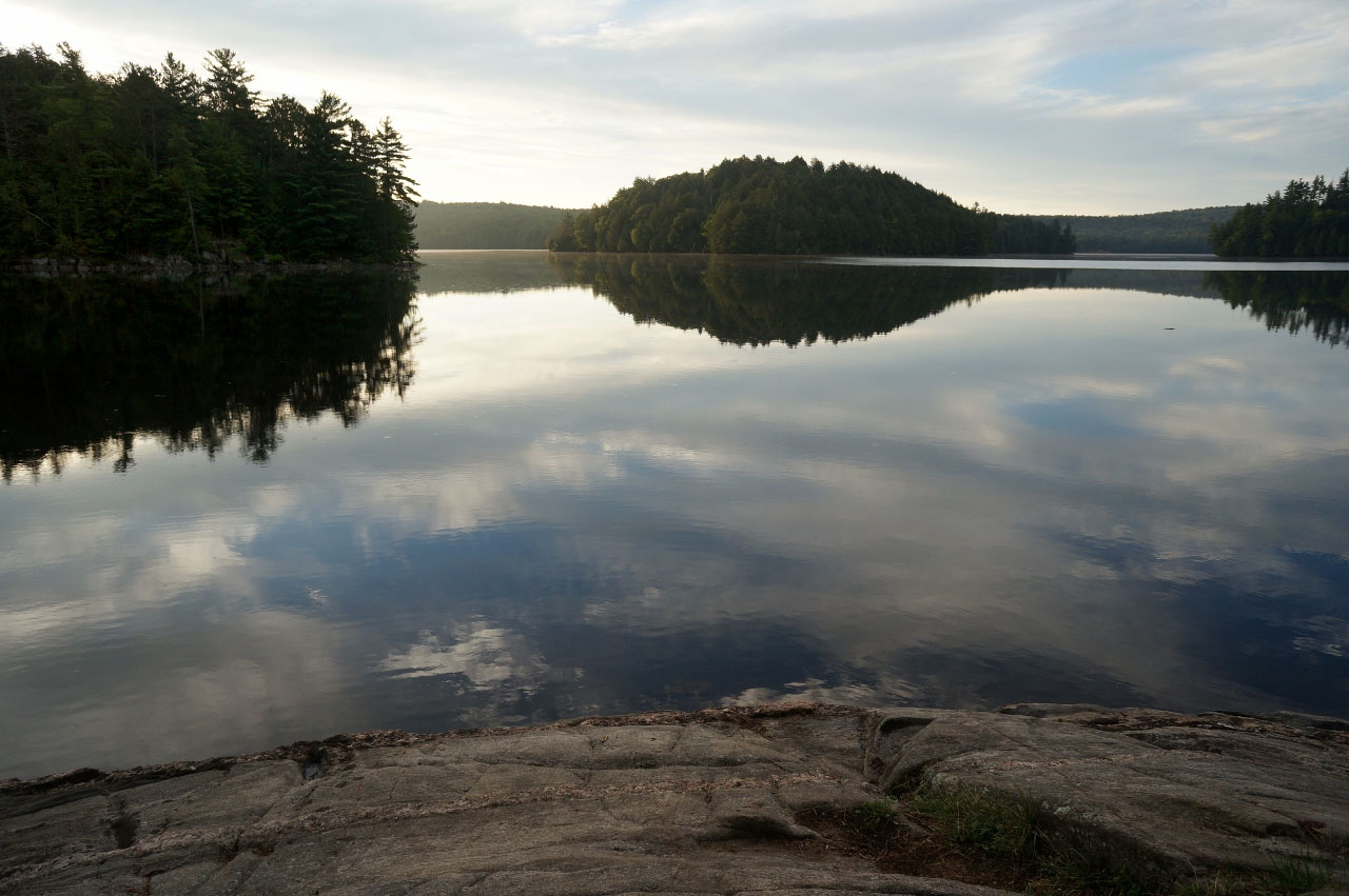
Looking south down the lake ...
![]()
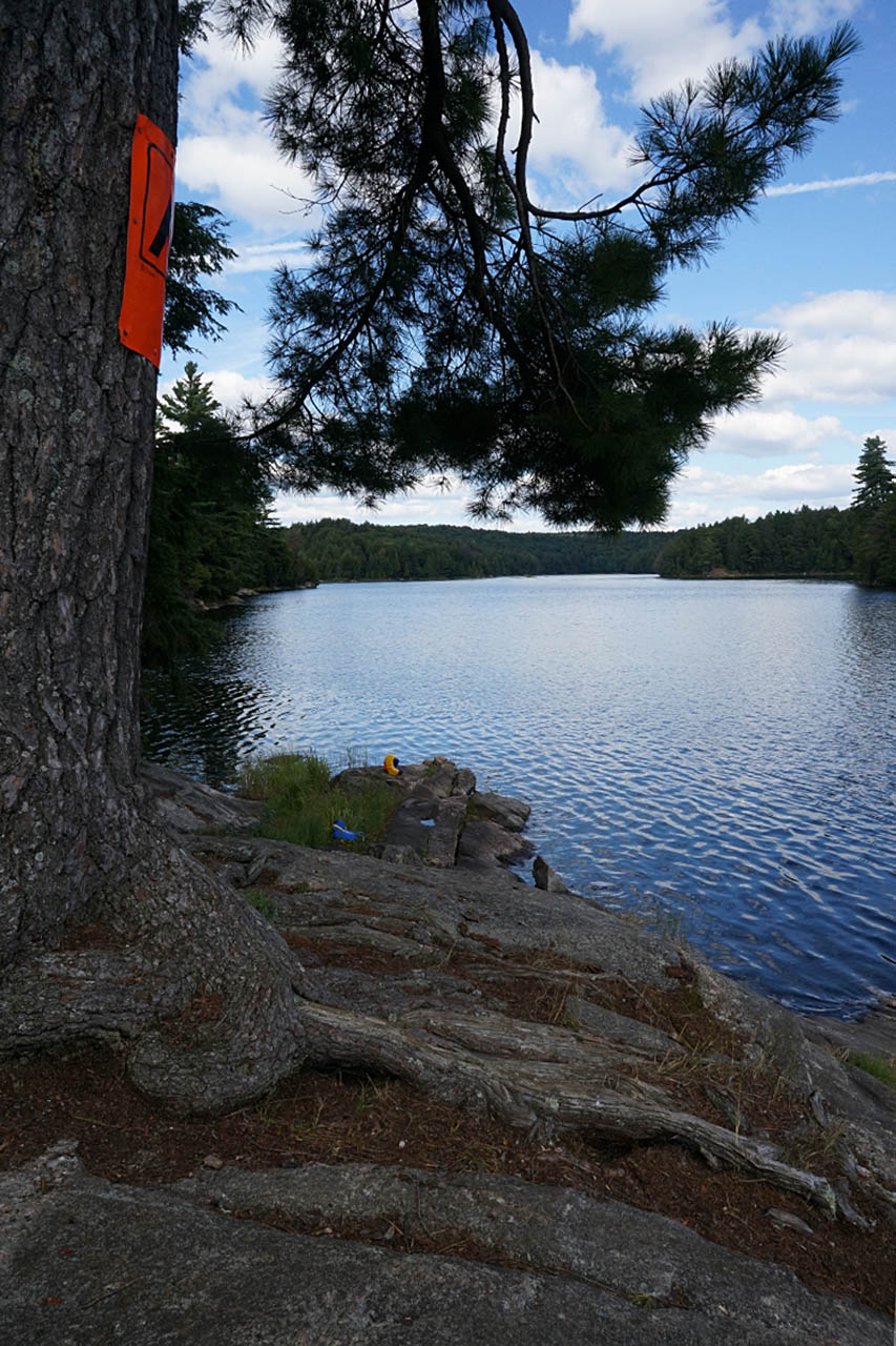
Looking east from the rocky shore ...
![]()
General description: Overall a large campsite that is quite open but relatively sheltered to the prevailing winds.
Overall accessibility: Landing is easy, and there is a slope towards the firepit and tent sites, but quite good.
![]()

Thanks to Jeffrey McMurtrie of Jeff'sMap for supplying the base-layer map component by Creative Commons licensing.
Submission October, 2014 by Marko Mrkobrada .. visited 2014