 Portage 1885m - Highway 60 to Pinetree Lake
Length of portage: 1885m (2010m - Jeff's map).
Portage maintenance regular or low: Regular.
Elevation above Sea Level @ Highway 60 is 472 meters.
Elevation above Sea Level @ Pinetree Lake is 447 meters.
Difference in elevation: 25 meters.
Elevation of highest point: 490 meters. Overall rise/fall: 43 meters.
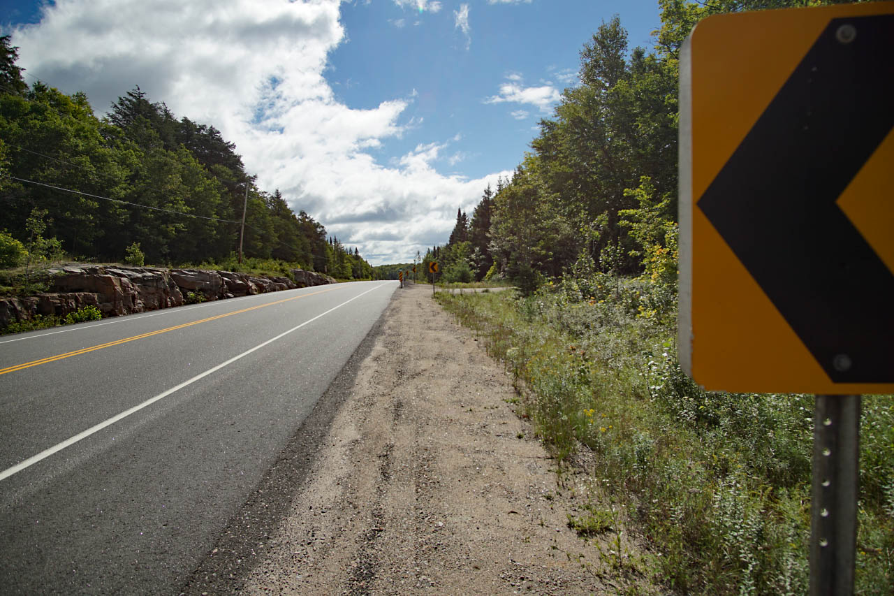
Access at Highway 60
The entrance to the access point is located on the south side of highway 60 just west of the 50km marker. The access point is not signed from the highway. Keep your eyes open for a non-descript lane to pull into.
Heading eastbound, the entrance to the access point is to the right ...
![]()
Portage Trail
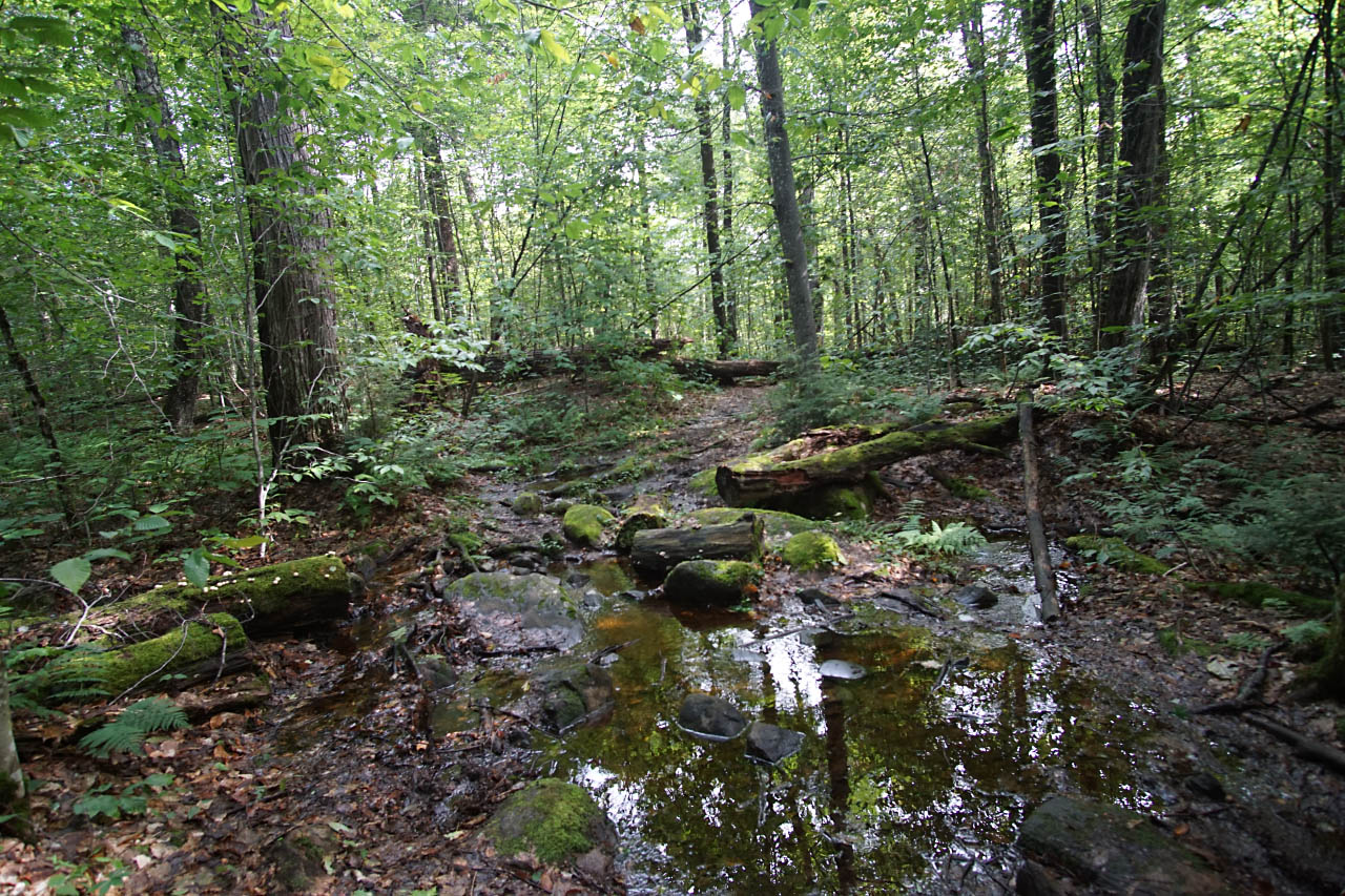
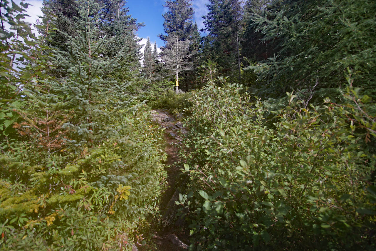
It had rained the day before our trip and was drizzling lightly so the trail was very slippery and wet, particularly in the steeper sections with running water crossing it in one place. There was a tree down about halfway through the portage. At 5' 4", my spouse was barely able to touch her feet to the ground on both sides of it. She lost her footing once on the way there and once on the way home. We found it to a little more challenging than the Rock to Louisa portage but that was likely just due to the wet conditions.
Jeff's map indicates that you should take the left trail at the fork on the way to Pinetree lake, but we didn't notice a fork. The trail appeared to follow a single, obvious route from the access point to the lake on our visit.
A muddy section leading up to a downed tree ...
![]()
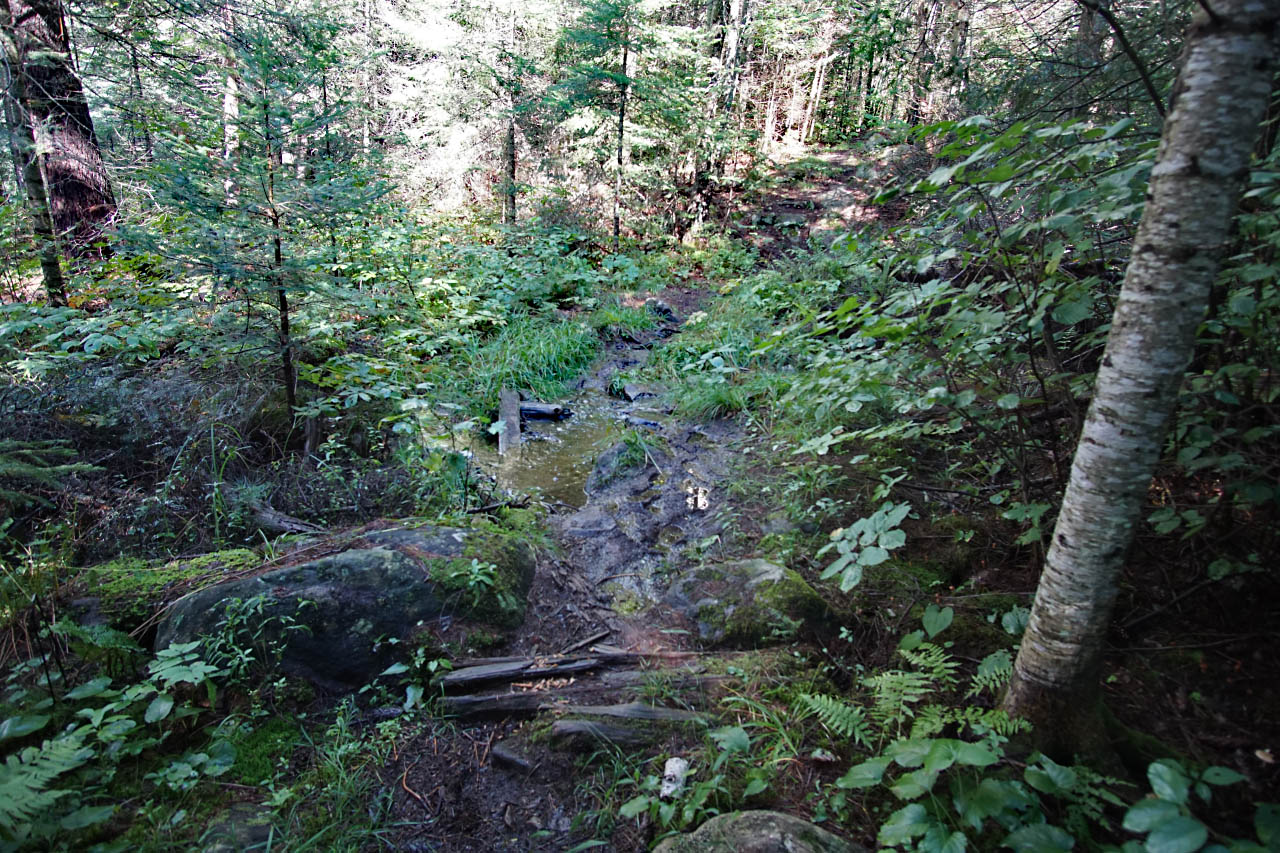
A slippery ascent ...
![]()
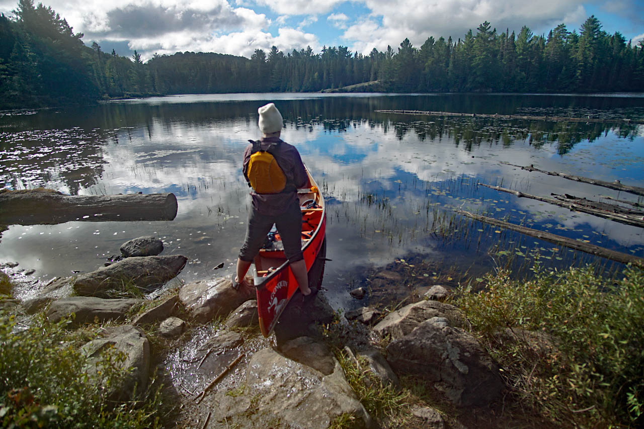
Landing at Pinetree Lake
Topography of under-water approach: Shallow and rocky.
Impediments to disembarking from and/or unloading a canoe: Rocks and shallow water. Your feet might get wet. There is not a lot of space at the water to set your canoe and get organized. There is a small clearing slightly up the portage trail from the water that provides a good place to do this without blocking the portage landing.
Impediments to moving gear to portage trail: the aforementioned steep hill..
Canoe landing at pinetree lake ...
![]()
View of the climb up to the portage from the water ...
![]()

Thanks to Jeffrey McMurtrie of Jeff'sMap for supplying the base-layer map component by Creative Commons licensing.
Submitted by Andrew M., visited August 29, 2020, submitted August 30, 2020