 Pen Lake Campsite #6
Landing
Topography of under-water approach: Shallow gravel beach.
Impediments to disembarking from and/or unloading a canoe: None.
Topography to tent sites: Eroded sandy 'trough' climbs up approx. 20 feet from landing to campsite.
Beach landing and the rise to the campsite ...

![]()
Looking north to the beach landing and path heading into the shoreline bushes ...

![]()
Campsite
Campsite maintenance: Regular.
Size of open area: 40 x 80 feet.
Extent of tree cover: 100%.
Degree of levelness: Considerable overall curving slope down toward the ridge overlooking the lake.
Number of level tent sites: Three small tentsites.
North exposure: Trees.
East exposure: Forest.
South exposure: Trees.
West exposure: Lake through the shoreline vegetation.
Looking down from the edge of the campsite to the landing ...

![]()
The firepit is under the pine canopy, as are the three small level tentsites ...

![]()
General description: While the campsite receives great afternoon sun and has a wonderful sunset view from the beach, its main part has a pronounced curving slope. There are only three level areas for small tents.
Overall accessibility: The rise from the beach and the overall slope could be considered challenging.
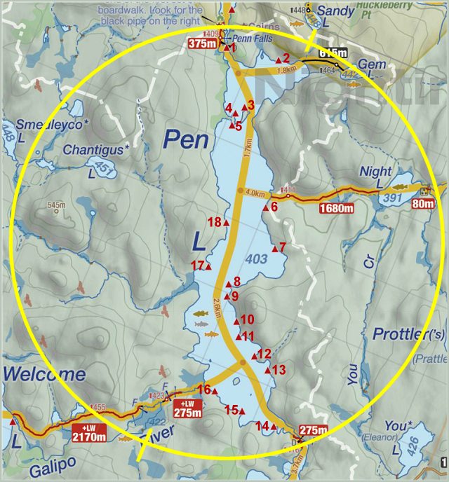
Thanks to Jeffrey McMurtrie of Jeff'sMap for supplying the base-layer map component by Creative Commons licensing.
Submitted by Barry Bridgeford .. Visited Sept. 2017 .. Submission Oct. 2017