 Pen Lake Campsite #2
Landing
Topography of under-water approach: Sand, gravel and rocky area at the bottom of rock face.
Impediments to disembarking from and/or unloading a canoe: The hauling of gear and canoe on to the 45 degree rock could be dangerous, specially when wet. Note 2nd small makeshift landing 50 feet to the east.
Topography to tent sites: 20 foot high, 45 degree rock incline to actual campsite.
Campsite from the water, with rock landing to the left ...

![]()
Canoe drawn-up on the shore, with some bottom detail visible ...

![]()
Additional detail of landing's bottom detail ...

![]()
Campsite
Campsite maintenance: Regular.
Size of open area: 15 x 25 feet.
Extent of tree cover: 90%.
Degree of levelness: Level around firepit.
Number of level tent sites: Two small ones close to firepit.
North exposure: Forest.
East exposure: Trees and lake to the southeast.
South exposure: Lake and line of trees.
West exposure: Trees.
Quite a steep rise up the rock from the landing ...

![]()
After one climbs up the rock rise, a clearing leads to the firepit area ...

![]()
Looking back over the clearing (very small tentsite) toward the lake ...

![]()
View of lake from area east of the firepit ...
![]()
![]()
A less precipitous landing exists 50 feet to the east, leading to the campsite by a trail through the trees ...

![]()
General description: There's a narrow view from the firepit. No breeze gets into the tentsite area. Its a small cramped campsite with a steep access to the water.
Overall accessibility: Difficult. Definitely not for children or elderly!
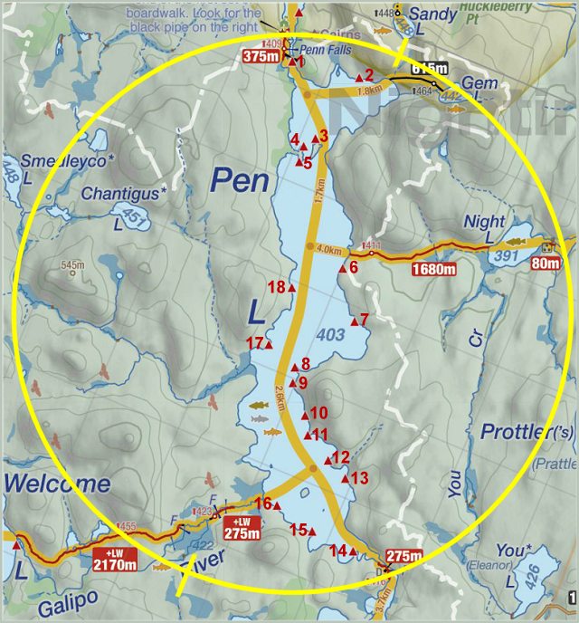
Thanks to Jeffrey McMurtrie of Jeff'sMap for supplying the base-layer map component by Creative Commons licensing.
Submitted by Barry Bridgeford .. Visited Sept. 2017 .. Submission Oct. 2017