 Lake Opeongo - East Arm - Campsite #3
Landing
Topography of under-water approach: Silt, rock, and gravel.
Impediments to disembarking from and/or unloading a canoe: None.
Topography to tent sites: A quick 2m climb up one of two paths.
A quick 2m climb ...
![]()
Campsite
Campsite maintenance: Regular.
Size of open area: 15m x 10m.
Extent of tree cover: 90%.
Degree of levelness: Level.
Number of level tent sites: 5+.
North exposure: Trees.
East exposure: Trees.
South exposure: Trees.
West exposure: Trees (orientation of shoreline gives open view of lake looking northwest).
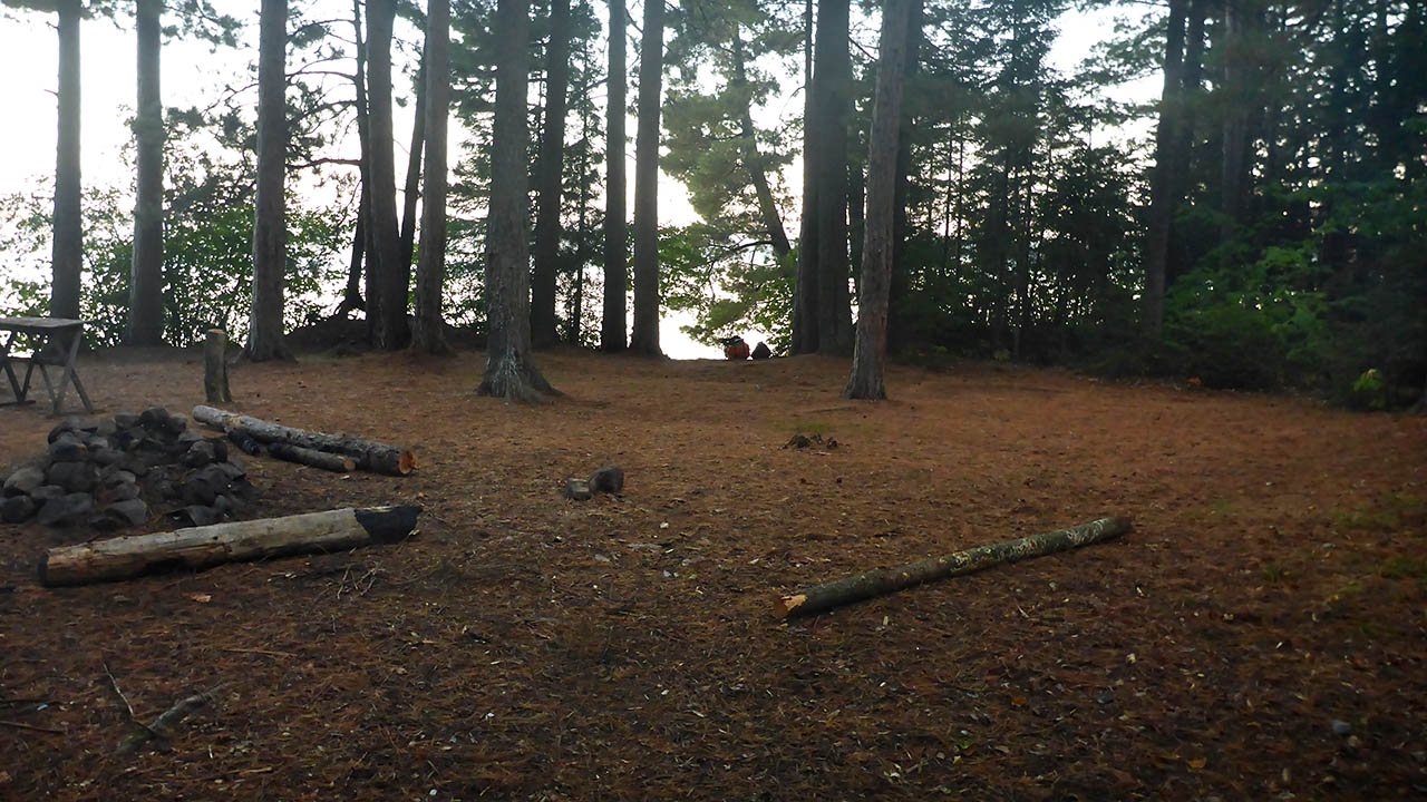
General description: A large flat and level site with multiple tenting options. Firepit was in need of some TLC and was not in a very good location.
Overall accessibility: A short steep climb to the site is the only issue.
Firepit ...
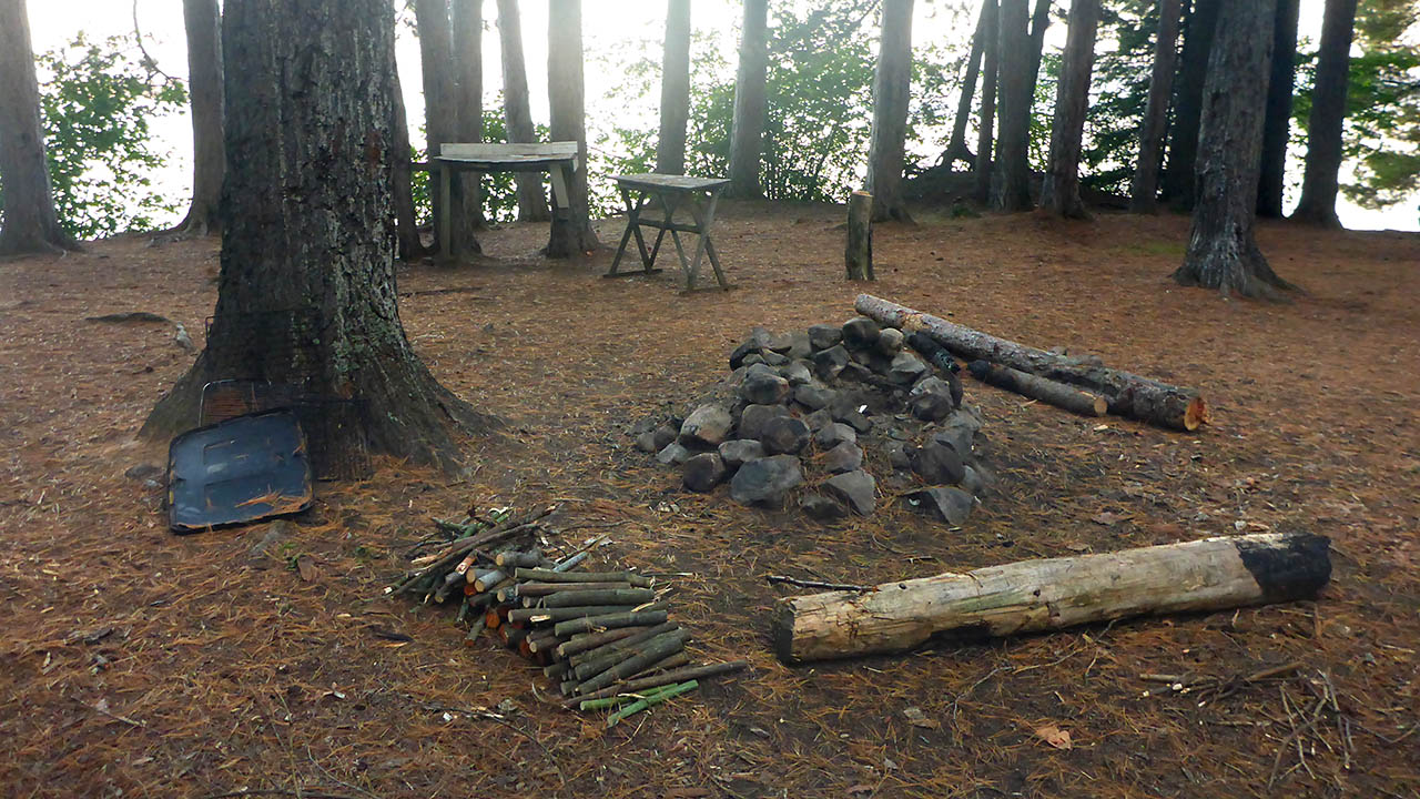
![]()
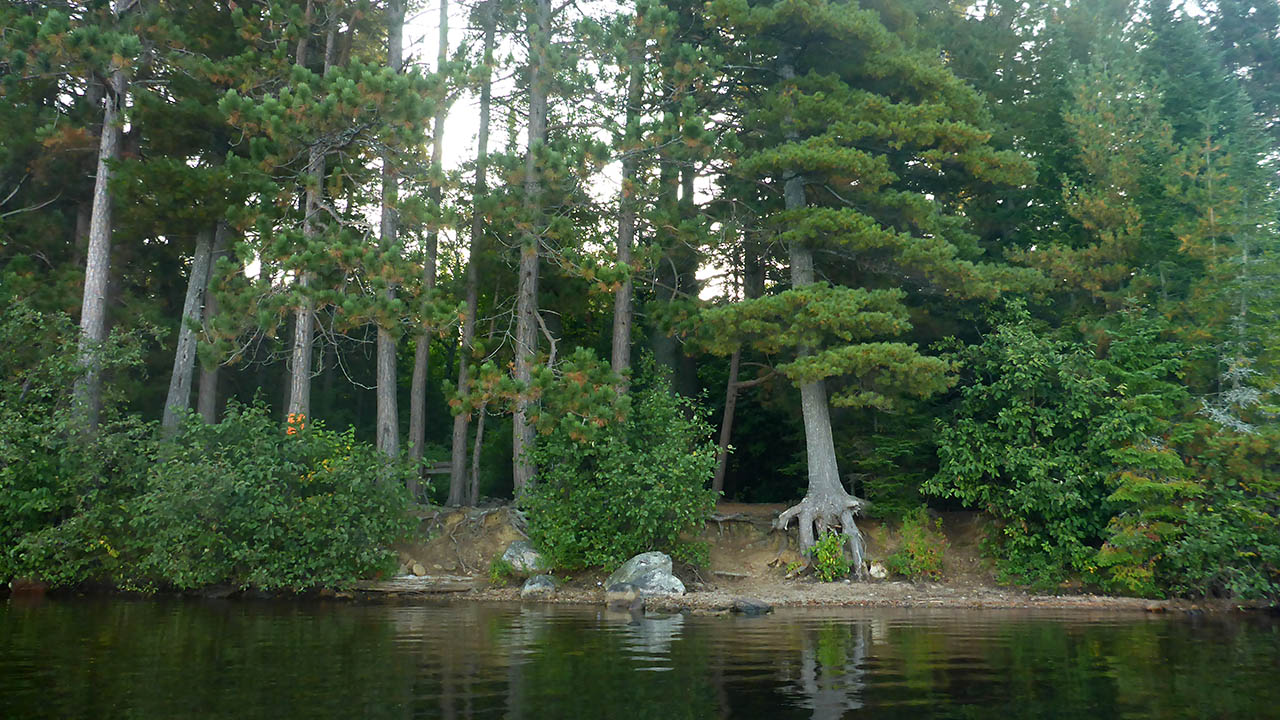
View from very south end of site ...
![]()
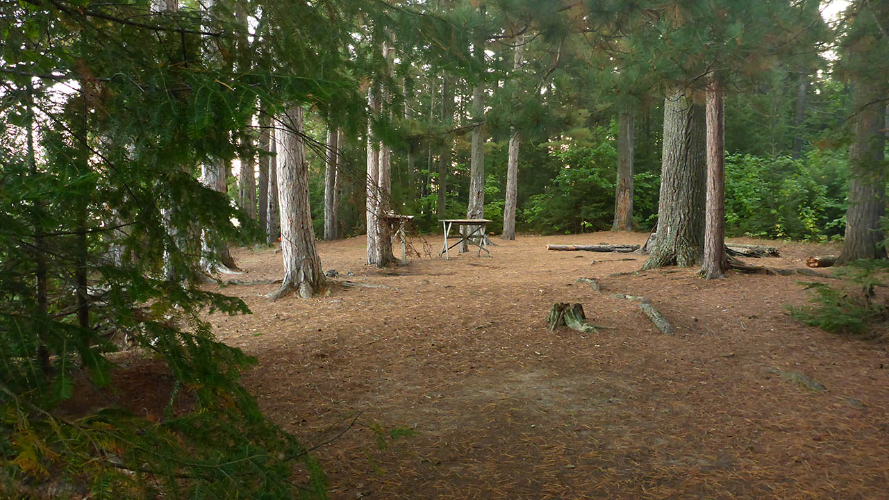
Path(s) to landing are center-left ...
![]()
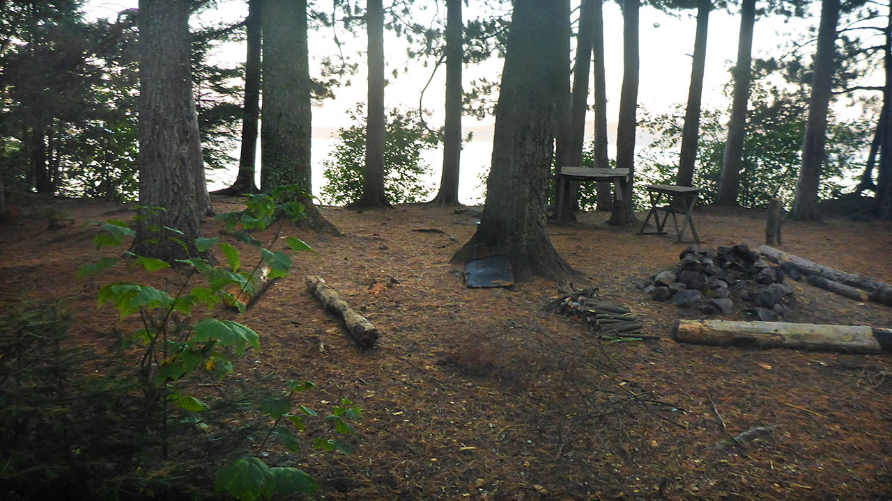
Looking from back of site to north and 2nd landing area ...
![]()

Thanks to Jeffrey McMurtrie of Jeff'sMap for supplying the base-layer map component by Creative Commons licensing.
Submitted by Chris Taylor .. Visited September, 2017 .. Submission November 24, 2018