 Mink Lake Campsite #4
Landing
Topography of under-water approach: Shallow sand beach. And there's a second gravel beach on the west side of the point.
Impediments to disembarking from and/or unloading a canoe: None.
Topography to tent sites: Moderate grade up a long rocky trail up a considerable height.

![]()
The main beach is on the east base of the point that sticks out in front of the actual campsite ...
![]()
Looking northeast from the beach to where previous shot was taken from, with actual tentsite area higher to the left ...
![]()
The tentsites and firepit are up on a treed level-top knoll overlooking the lake ...

![]()
One good-sized tentsites is located well east of the firepit ...

![]()
Another good-sized tentsites is located weast of the firepit ...

![]()
Campsite maintenance: regular.
Size of open area: 50' x 100'.
Extent of tree cover: substantial partial canopy.
Degree of levelness: generally level between tentsites and firepit.
Number of level tent sites: Two by the firepit and a possible third on the treed point near the beach.
North exposure: Protected from north wind by forest.
East exposure: Protected from much of the eastern wind by trees.
South exposure: Somewhat open to the south wind.
West exposure: tentsites are protected from much of the western wind by bush.
General description: This very large site includes a treed knoll on a point which is good as a quiet spot away from the tentsite area. The campsite also has two beaches .. the east sandy one for swimming and the west gravel one for sunsets. Despite being gigantic in size, the campsite only has two level tentsites near the firepit.
Overall accessibility: OK accessibility, but with a long trail rising from the landing up to the tentsites.
Narrow trail between campsite and main landing beach ...

![]()
The point's treed knoll, looking back toward the actual campsite ...

![]()
Behind the westmost tentsite is this downward trail, west to the second beach ...

![]()
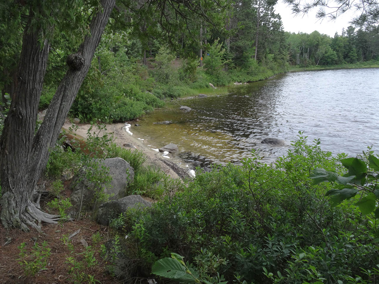
This second beach provides both a shorter trail access to the tentsite area and sunset viewing ...

![]()
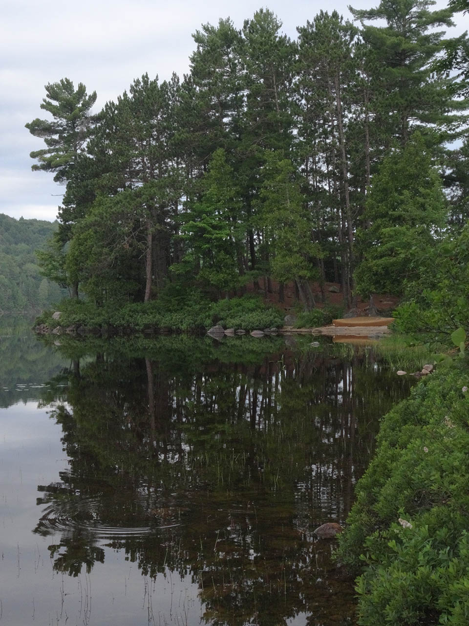
View from the main beach, down to the east end of the lake ...

![]()

Thanks to Jeffrey McMurtrie of Jeff'sMap for supplying the base-layer map component by Creative Commons licensing.
Submitted by Barry Bridgeford .. Visited July, 2015 .. Submission August 23, 2015