 630 Meter Portage On Maple Creek
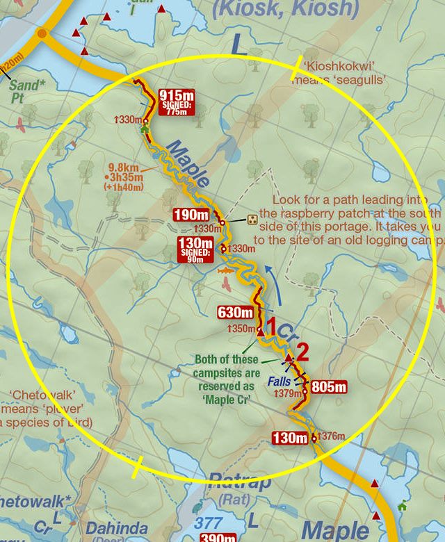
Length of portage: 630 meters.
Portage maintenance regular or low: Regular.
Upstream elevation above Sea Level on Maple Creek is 349 meters (est.).
Downstream elevation above Sea Level on Maple Creek is 330 meters (est.).
Difference in elevation: 19 meters (est.).
Elevation of highest point: 350 meters. Overall rise/fall: 20 meters (est.).
(Above data is extracted from 'Jeff's Map'.)
Upstream Landing on Maple Creek
Co-ordinates of location: N46° 02.415' W78° 51.209'
Topography of under-water approach: Rock and silt.
Impediments to disembarking from and/or unloading a canoe: None.
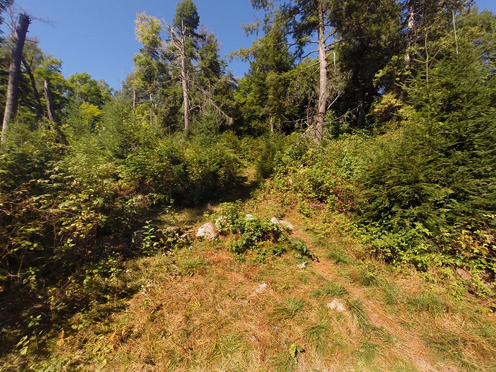
Topography of the ascending grade: Slight climb on smooth ground, thru a campsite, to a fairly steep climb.
View from the creek ...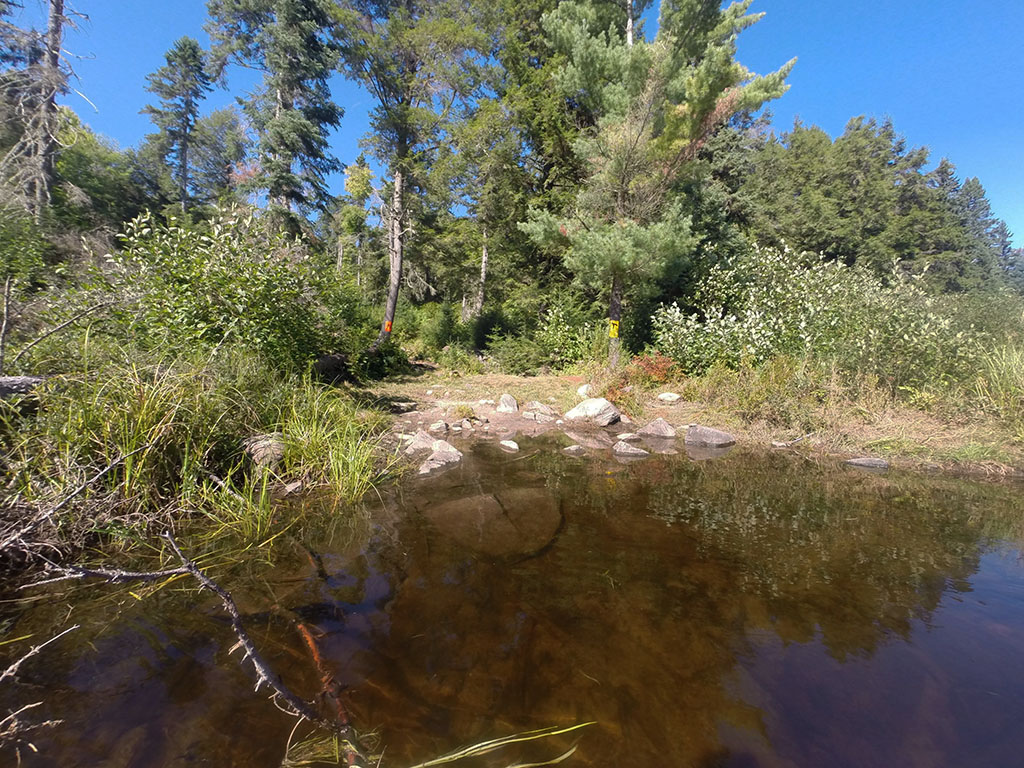
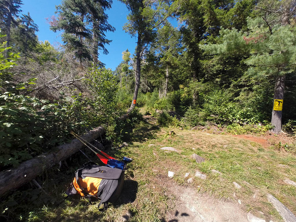
Portage Trail
General description: A significant elevation change over the length of the portage. This trail requires your constant attention because of rocks and roots. To access the trail from the south end of the portage, you must skirt the back tent pad of the campsite located there.
A note about the campsite: A totally open site that offers no protection from the elements. This site could accommodate 3 or 4 tents. More are possible if using the haulage area.
Topographical impediments to travelling: A couple of steep climbs, and the path has long sections of rocks and roots.
Areas susceptible to impact by periods of rain or beaver flooding: Some possible collection areas at the north end.
A walk past the campsite's firepit to get to the portage trail ...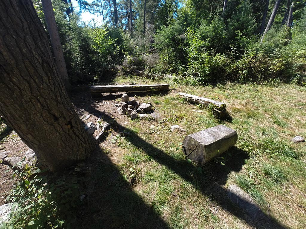
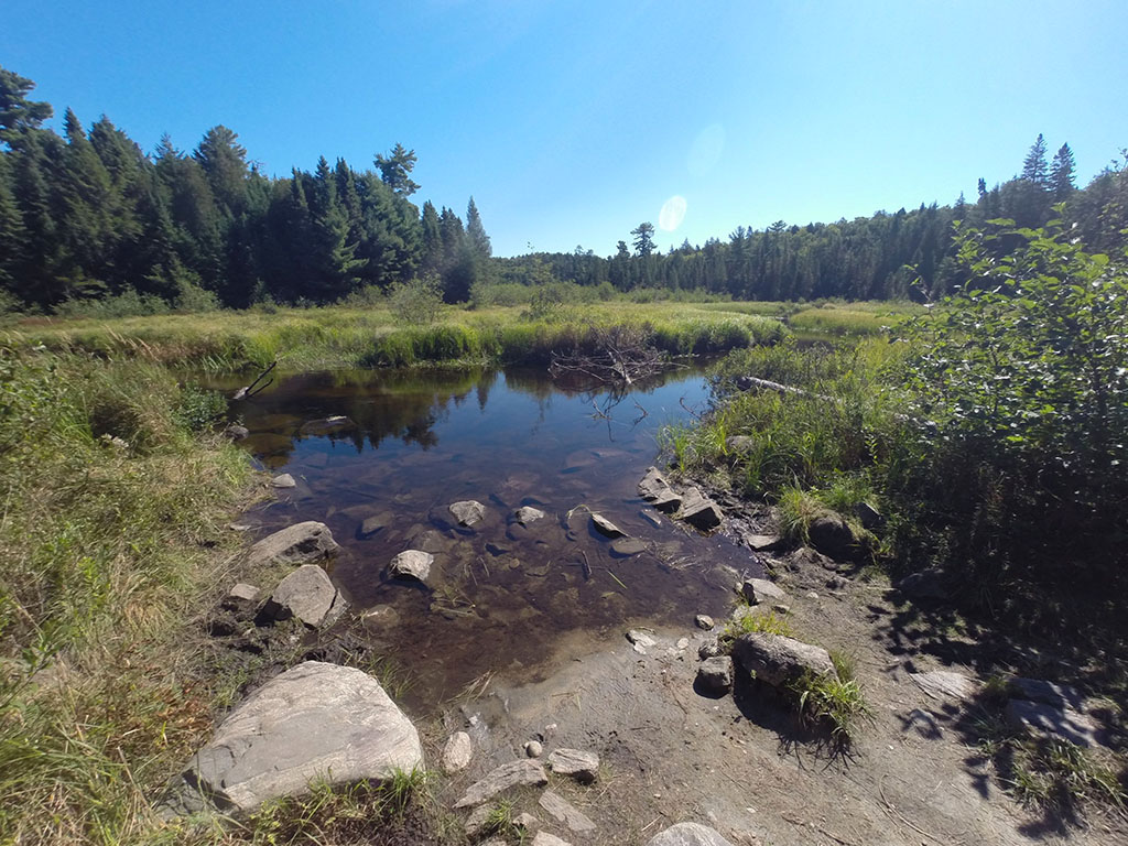
Downstream Landing on Maple Creek
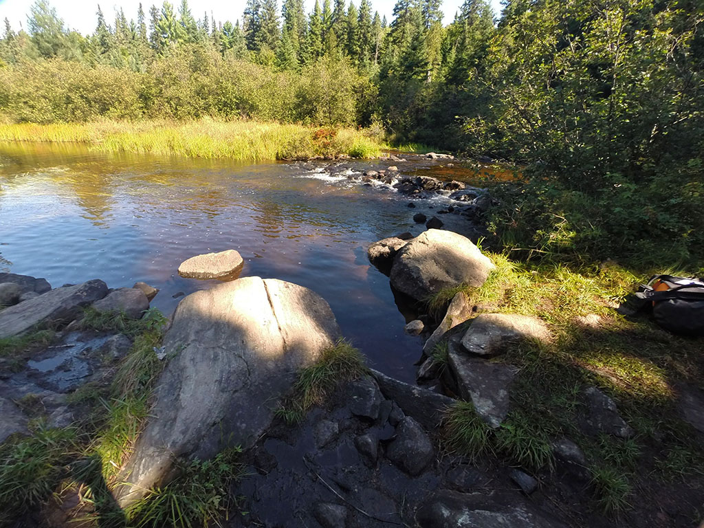
Co-ordinates of location: N46° 02.675' W78° 51.353'
Topography of under-water approach: Rock under knee deep water.
Impediments to disembarking from and/or unloading a canoe: The landing area is among a couple of large rocks.
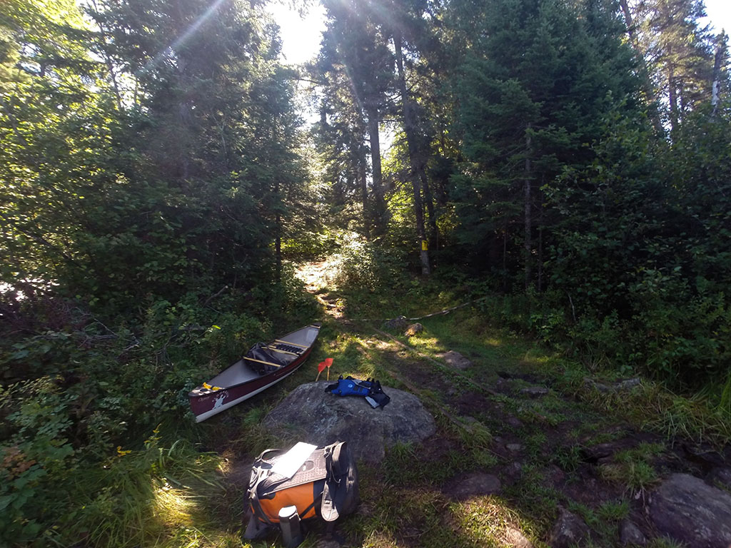
Topography of the ascending grade: A smooth path with some rocks and roots climbs quickly once clear of the landing.
Impediments to moving gear to portage trail: None. Area is capable of handling 3 or 4 canoes without impeding access to the trail.
The landing is just to the right of the small falls ...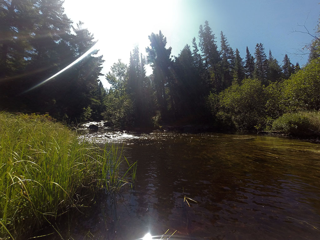
Thanks to Jeffrey McMurtrie of Jeff'sMap for supplying the base-layer map component by Creative Commons licensing.
Submitted by Chris Taylor, visited September 2014, submitted November 1, 2014