 190 Meter Portage On Maple Creek
Length of portage: 190 meters.
Portage maintenance regular or low: Regular.
Upstream elevation above Sea Level on Maple Creek is 330 meters (approximate).
Downstream elevation above Sea Level on Maple Creek is 329 meters (approximate).
Difference in elevation: 1 meters (approx.).
Elevation of highest point: 330 meters. Overall rise/fall: 1 meters (approximate).
(Above data is extracted from 'Jeff's Map'.)
Upstream Landing on Maple Creek
Co-ordinates of location: N46Ḟ 02.953' W78Ḟ 51.865'
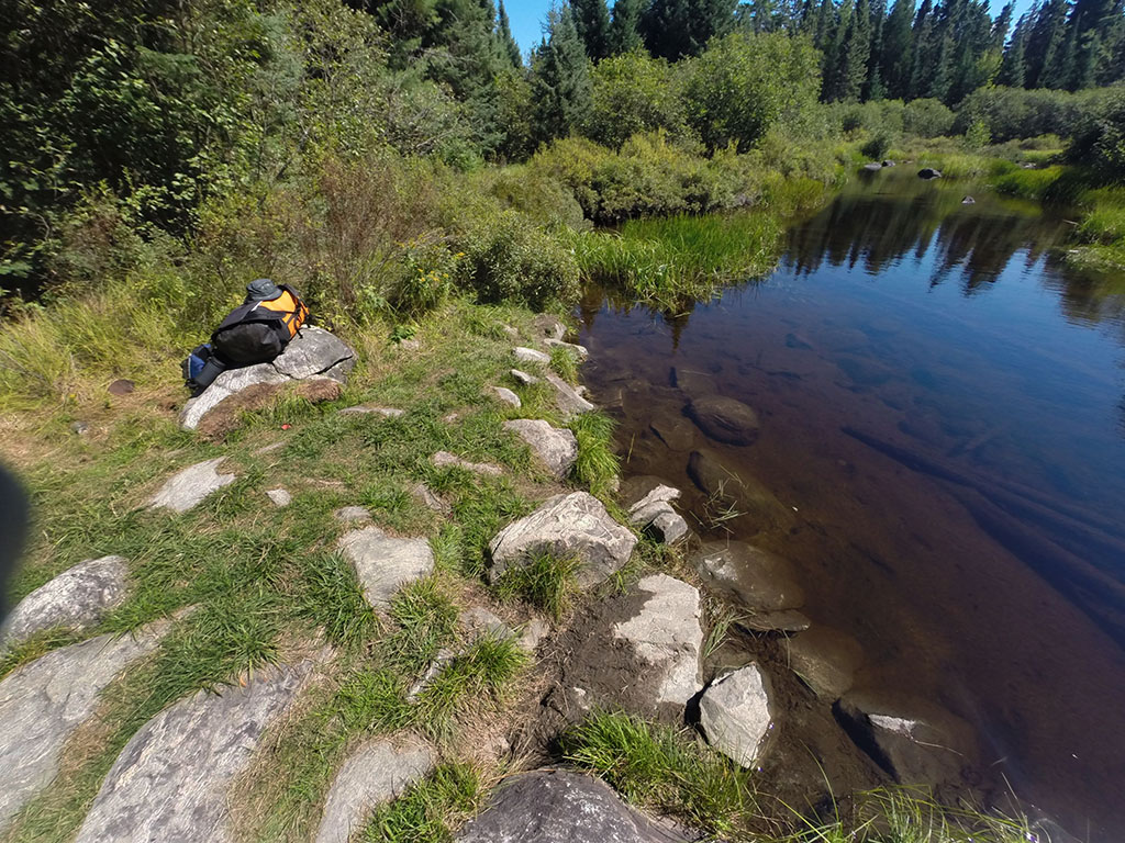
Topography of under-water approach: Rock and silt with a gradual drop-off
Impediments to disembarking from and/or unloading a canoe: None.
Topography of the ascending grade: Level, then a gradual climb.
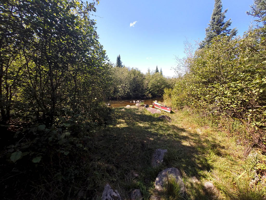
Landing is easy to spot ...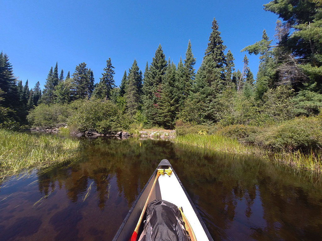
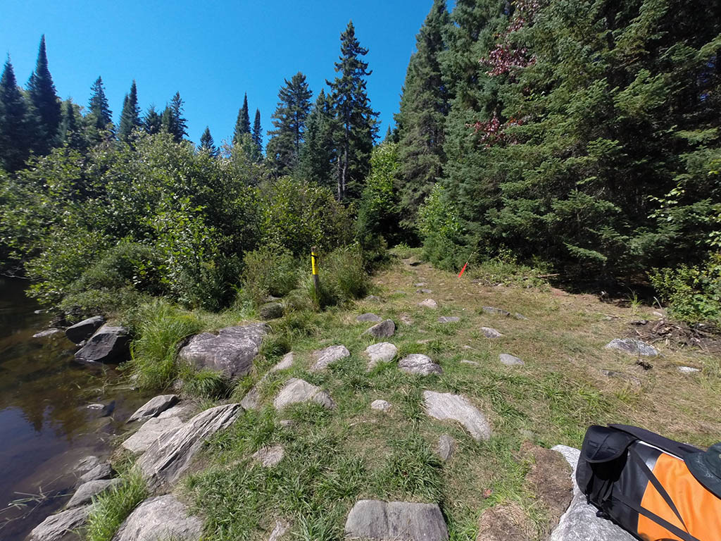
Portage Trail
General description: A short trail with some gradual elevation changes.
Topographical impediments to travelling: None.
Areas susceptible to impact by periods of rain or beaver flooding: None noticed.
Downstream Landing on Maple Creek
Co-ordinates of location: N46Ḟ 03.004' W78Ḟ 51.986'
Topography of under-water approach: Ankle deep water over mud.
Impediments to disembarking from and/or unloading a canoe: None.
Topography of the ascending grade: Very gradual rise.
Impediments to moving gear to portage trail: None.
Lots of mud at the put-in ...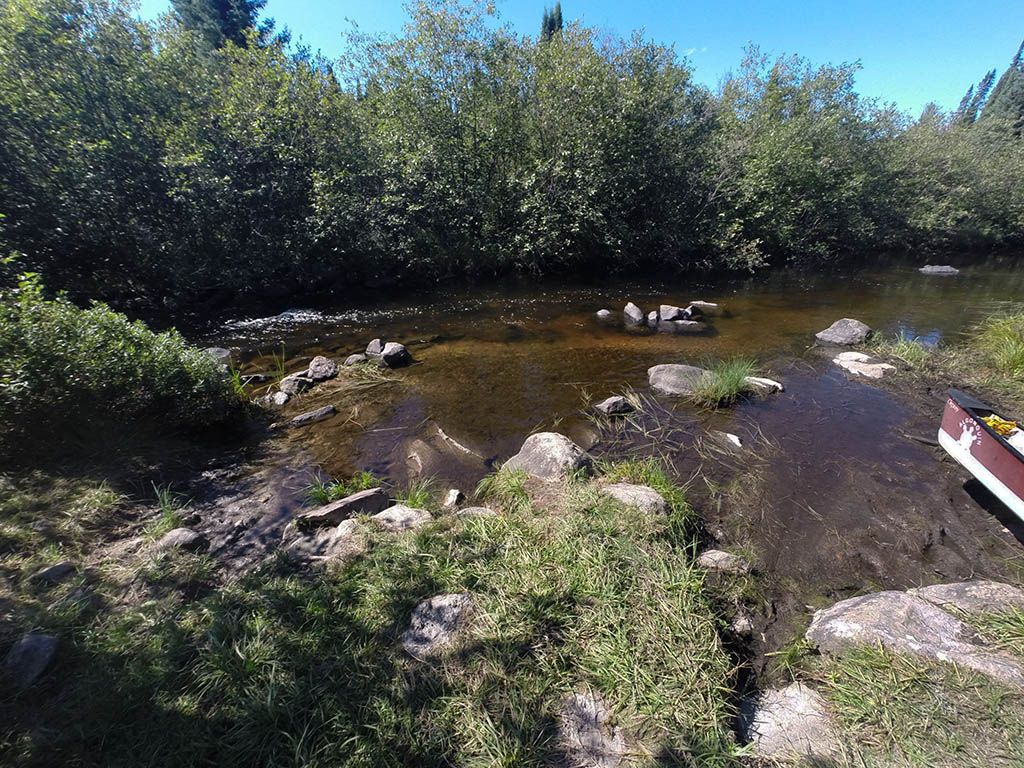
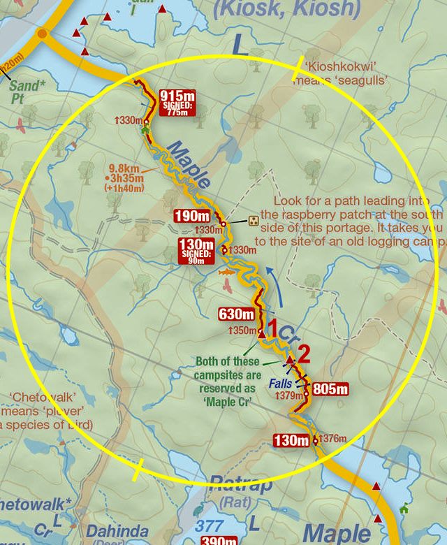
Thanks to Jeffrey McMurtrie of Jeff'sMap for supplying the base-layer map component by Creative Commons licensing.
Submitted by Chris Taylor, visited September 2014, submitted November 1, 2014