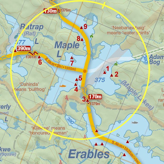
 From Erables Lake To Maple Lake Portage
Length of portage: 170 meters.
Portage maintenance regular or low: Regular.
Elevation above Sea Level @ Erables Lake is 379 meters.
Elevation above Sea Level @ Maple Lake is 375 meters.
Difference in elevation: 4 meters (approx.).
Elevation of highest point: 379 meters. Overall rise/fall: 4 meters.
(Above data is extracted from 'Jeff's Map'.)
Landing at Erables Lake
Co-ordinates of location: N46° 00.648' W78° 48.997'
Topography of under-water approach: Shallow water, rock and silt.
Impediments to disembarking from and/or unloading a canoe: Some rocks at the shoreline, and roots leading to the haulage area.
Topography of the ascending grade: A gradual rise.
Impediments to moving gear to portage trail: None
An easy approach to the landing ...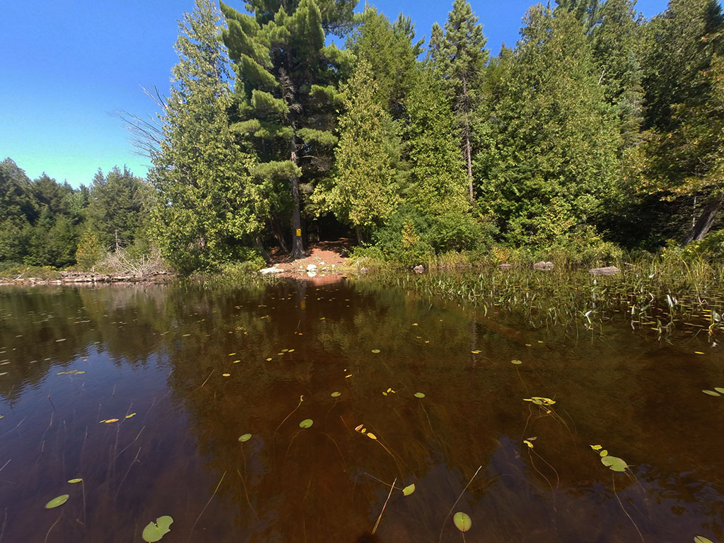
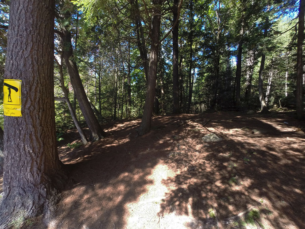
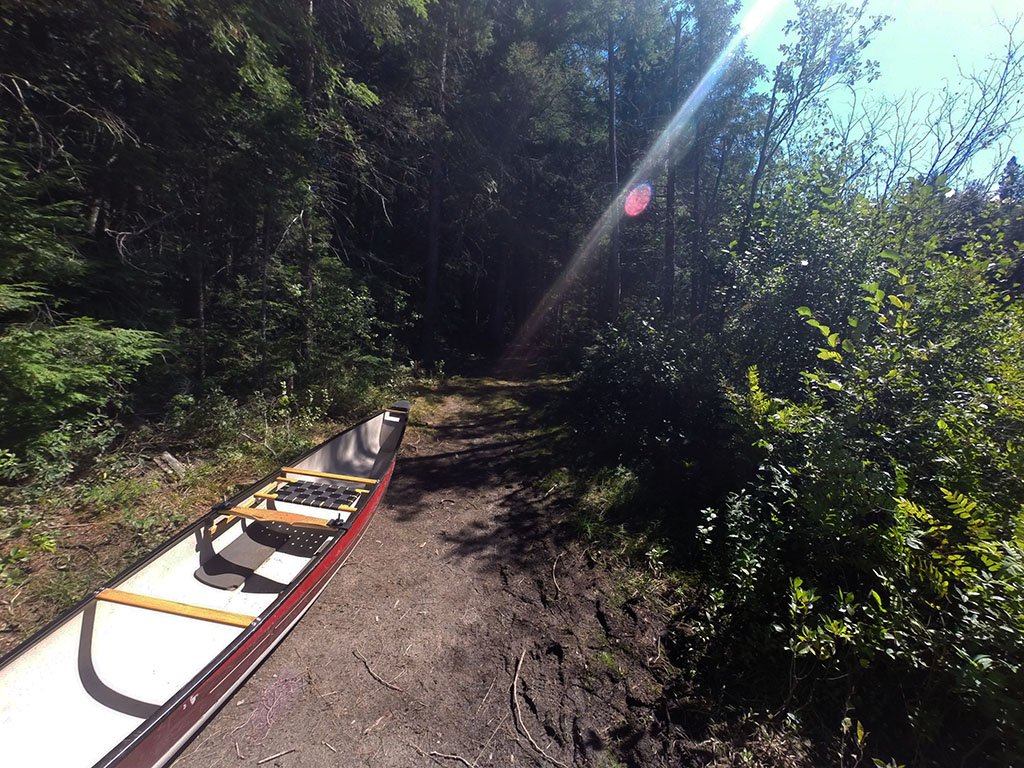
Portage Trail
General description: A nice short trail. There is a minimal change in elevation that happens mostly when crossing the logging road.
Topographical impediments to travelling: None.
Areas susceptible to impact by periods of rain or beaver flooding: None noticed, but with the flatness of the terrain combined with some low places on the trail, it probably would be prone to some muddy areas.
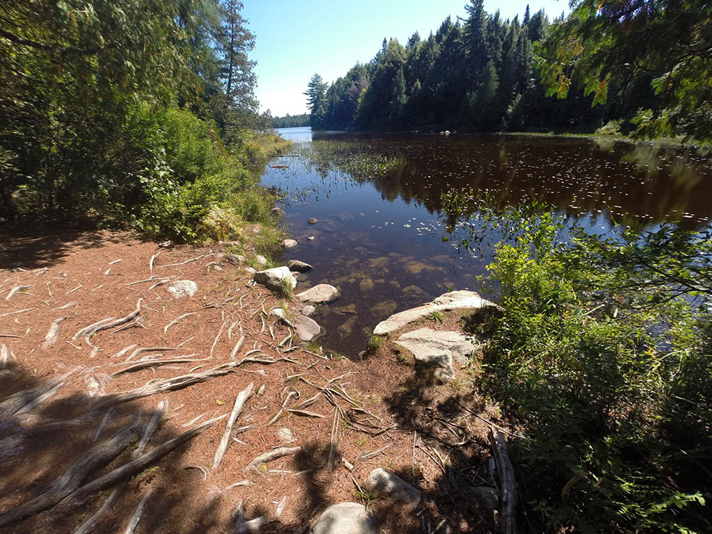
Landing at Maple Lake
Topography of under-water approach: Mud, sand, and silt.
Impediments to disembarking from and/or unloading a canoe: None.
Topography of the ascending grade: No noticeable grade on the dirt path.
Impediments to moving gear to portage trail: None. The trail widens as you approach the landing and this serves as the haulage area.
Straight out, then turn right to Maple Lake ...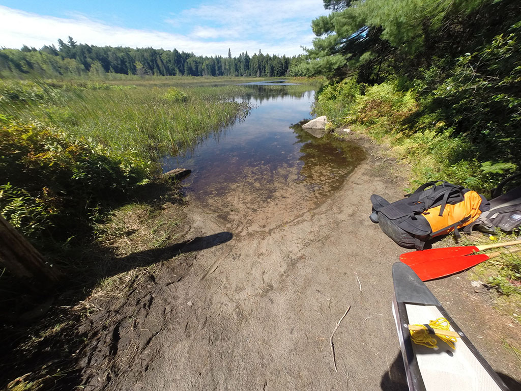
Thanks to Jeffrey McMurtrie of Jeff'sMap for supplying the base-layer map component by Creative Commons licensing.
Submitted by Chris Taylor, visited September 2014, submitted November 1, 2014