 Portage 585 meters - Manitou To North Tea
Length of portage: 585 meters (signed 550 meters).
Portage maintenance regular or low: Regular.
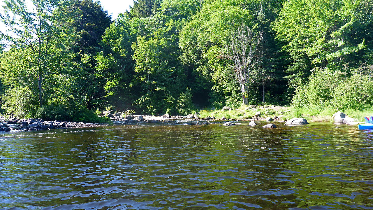
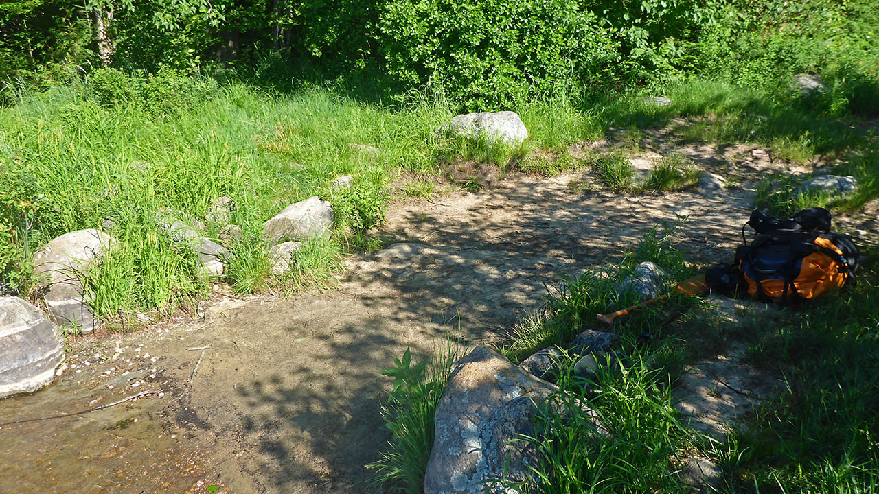
Landing on Manitou Lake, at east (downstream) end
Topography of under-water approach: Silt and some small rock.
Impediments to disembarking from and/or unloading a canoe: Landing area is rocky, grassy and can be wet in high water.
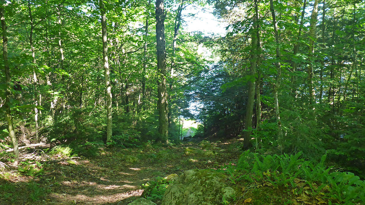
Topography of the ascending grade: A short steep climb on rocky ground begins the trail. I
Impediments to moving gear to portage trail: Some rocks.
Waterfalls are to the left of landing ...
![]()
Portage Trail (max. elevation = 377m)
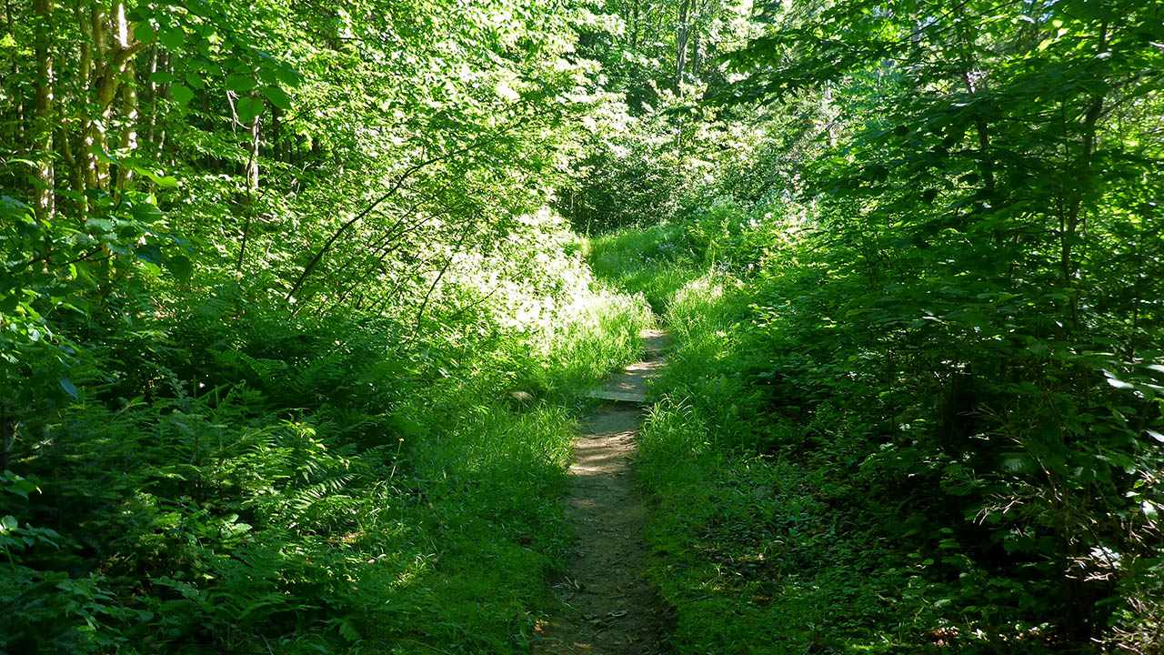
General description: Though slightly longer, this portage trail is easier, and by far, much nicer than its' twin to the west! The only significant elevation change is the beginng at Manitou Lake. After a quick rise from Manitou Lake, the trail ascends gently until just before the campsite is reached. From there, after a slight drop, it is a smooth path leading to North Tea Lake.
At the Manitou Lake landing is the bottom of a very pretty waterfall that highlights the landing. If you take a side trip into the campsite (CS2) along the trail, you will find exceptional access to the top part of the falls.
Topographical impediments to traveling: None
Areas susceptible to impact by periods of rain or beaver flooding: The trail leading from North Tea Lake is flat, and it appears some boards have been placed across the trail to perhaps mitigate any water.
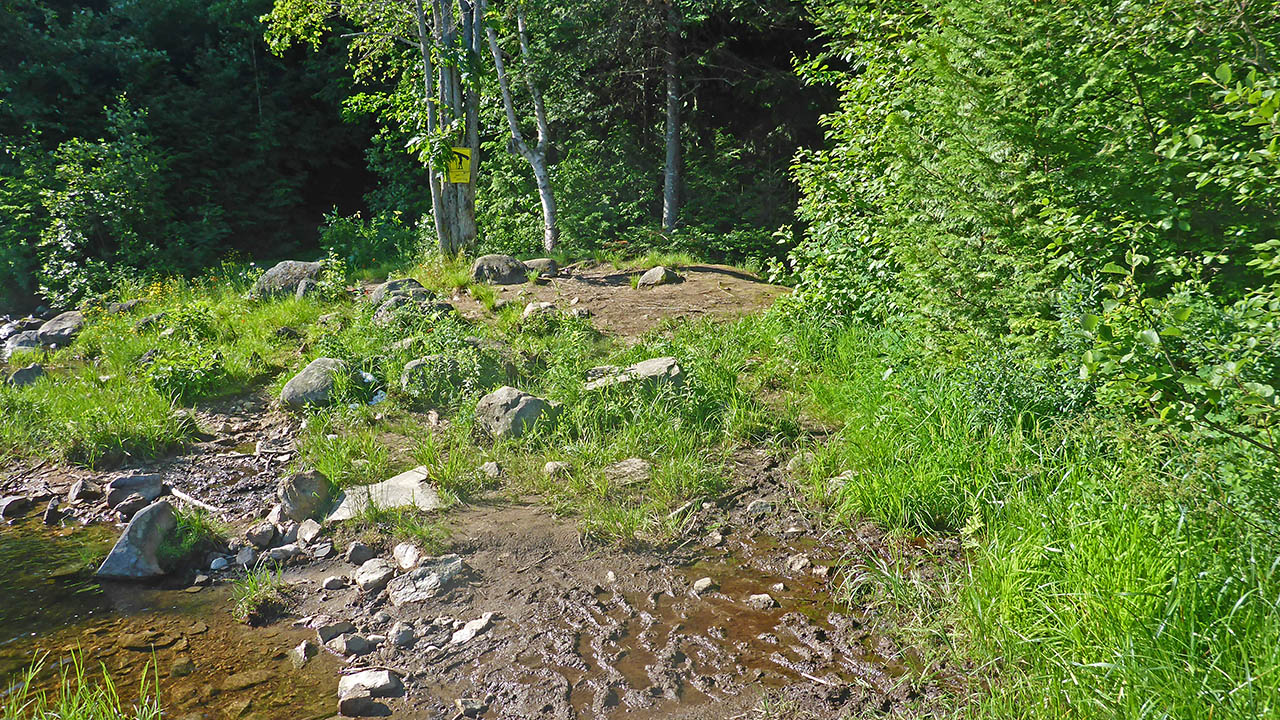
Campsite is on east side of trail, sign to the left. Typical of trail throughout length of portage ...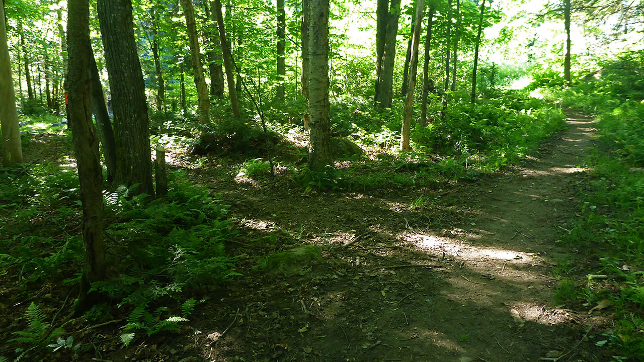
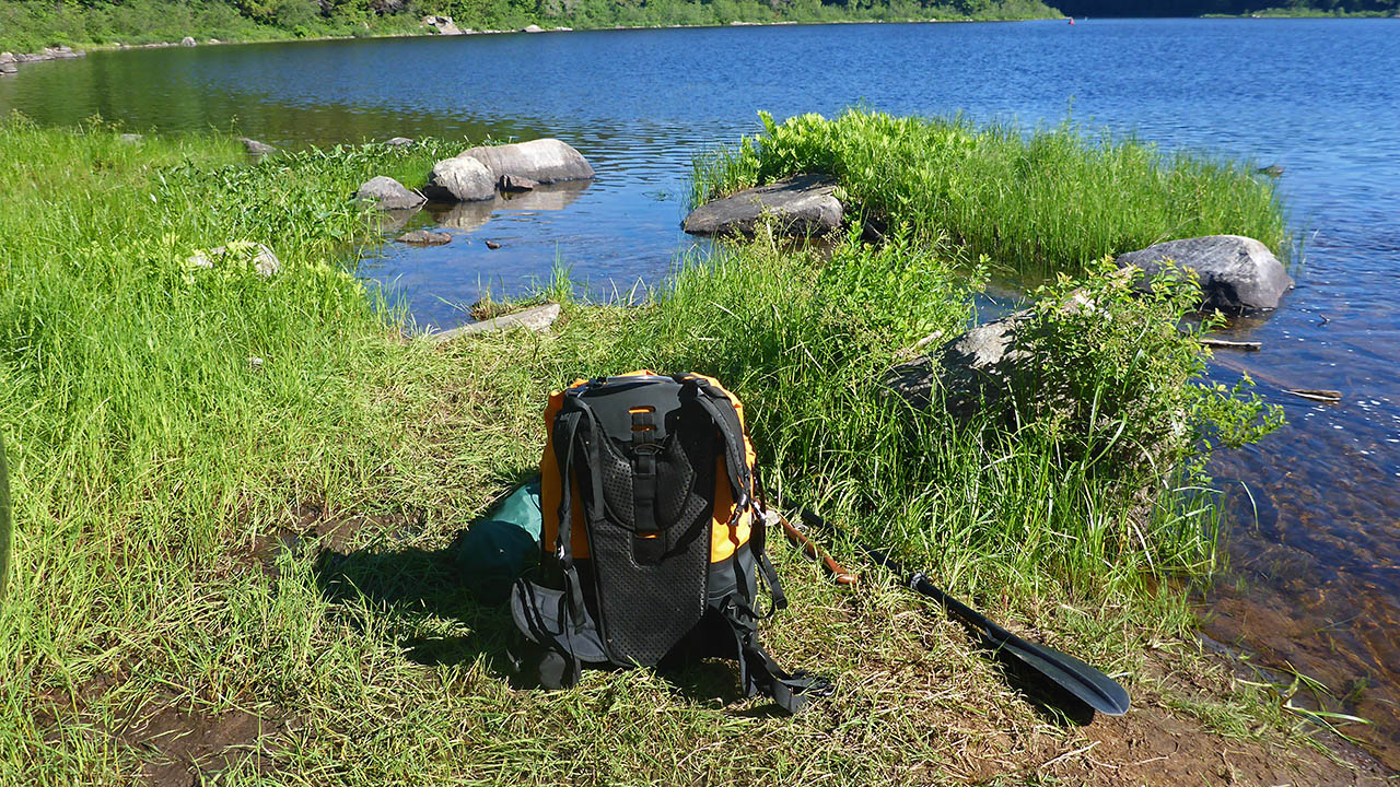
Landing on North Tea Lake, west (upstream) end
Topography of under-water approach: Shallow sand.
Impediments to disembarking from and/or unloading a canoe: Landing is smallish, gear can easily be moved off to the side where there is plenty of room.
Topography of the ascending grade: Smooth, level path until the campsite is reached.
Impediments to moving gear to portage trail: None
Nice sandy beach landing ...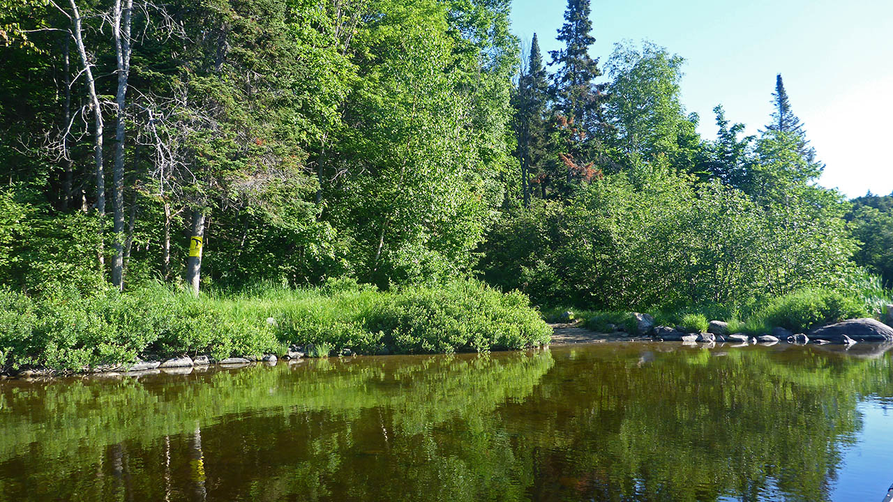

Thanks to Jeffrey McMurtrie of Jeff'sMap for supplying the base-layer map component by Creative Commons licensing.
Submitted by Chris Taylor, visited July 2019, submitted September 30, 2019