 Manitou Lake Campsite #43a
Campsite Location
This campsite didn't previously appear on maps of the lake. This report's author explored the area and located nearby campsites #43 and #44. This campsite was found a short distance west of campsite #43 and has been considered here as campsite #43a.
Landing
Topography of under-water approach: Sand.
Impediments to disembarking from and/or unloading a canoe: None.
Topography leading to tent sites: 2 meter rise up a sandy bank.
Overall accessibility: No issues, though no clear path from shore to campsite.
Landing can be made anywhere along the beach ...
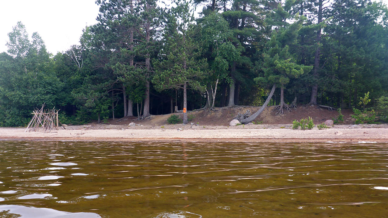
![]()
Campsite
Regular or low-maintenance: Regular
Size of open ground area: 10 x 5 meters.
Extent of tree cover: 40%.
Degree of levelness: Lumpy with flat tent pads.
Number of tent sites: 2+.
North exposure: Trees.
East exposure: Trees and view of the lake.
South exposure: View of the lake.
West exposure: Trees and view of the lake.
General description: The main attraction of this site is a long, sandy beach that extends far out into the lake, making this a perfect place for sunning or swimming. The small, lumpy site is similar to an upside down salad bowl, with a couple of flat tentpads. The 2 larger tentpads are located at either end of the site (east and west), while a smaller flat area is located at the back of the site. A very nice firepit that lets you look out over the lake or the beach. Fairly good protection from all but a south wind.
Overall accessibility: A slight climb to the site.
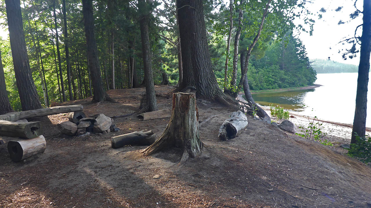
The firepit provides an open southern view of Manitou Lake ...

![]()
Looking east from the tentpad ...
![]()
Tentpad at the back of the site ...
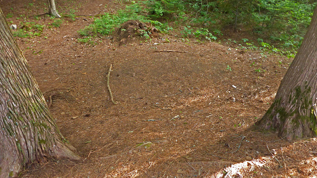
![]()
Tentpad on western side of site ...
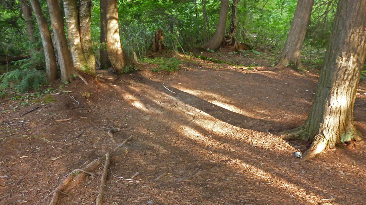
![]()
Algonquin engineering and the view west toward the portage to Fassett Creek ...

![]()

Thanks to Jeffrey McMurtrie of Jeff'sMap for the base-layer map component by Creative Commons licensing.
Submitted by: Chris Taylor .. Visited July, 2018 .. Submission November, 2018