 Lower Loader Lake Campsite #2
Note: The site is on a peninsula and the other side of the bay can be seen through the trees looking southeast.
Landing
Topography of under-water approach: Steep drop-off, rocky landing.
Impediments to disembarking from and/or unloading a canoe: Challenging due to the grade and rocky nature.
Topography leading to tent sites: The trail gradually rises about 2m vertical to the firepit/tent site.
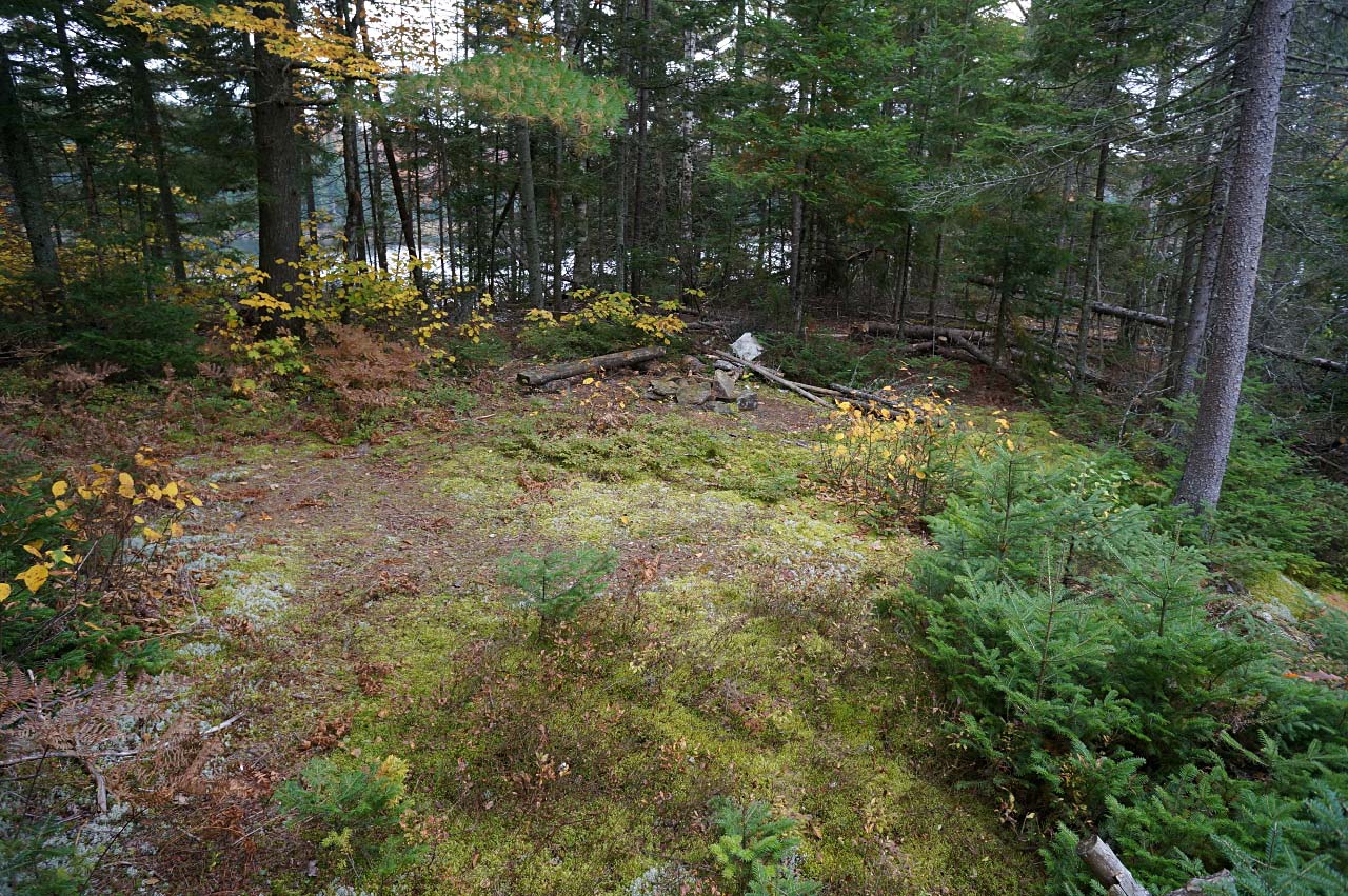
Campsite overview from northwest, with rocky landing to the left and actual campsite in the middle ...

![]()
Landing area ...

![]()
Campsite
Regular or low-maintenance: Low.
Size of open ground area: Small.
Extent of tree cover: Intermediate coverage.
Degree of levelness: Fairly level.
Number of tent sites: 1.
North exposure: Shoreline.
East exposure: Trees, then the lake again.
South exposure: lake.
West exposure: Lake.
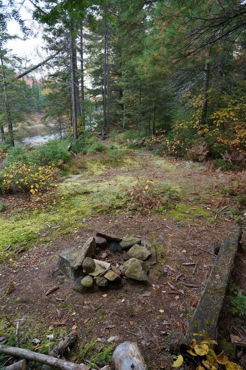
Looking south, with the tentsite in the foreground and the firepit beyond ...
![]()
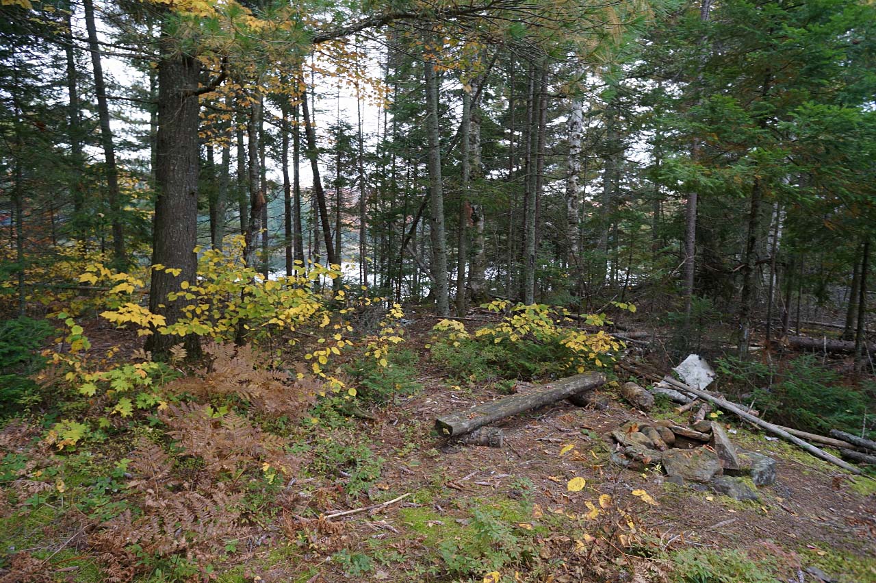
Looking north, with the firepit in the foreground and the small single tentsite beyond ...
![]()
Looking southeast, with the lake visible on other side of the peninsula ...
![]()
General description: Low-maintenance, small site on a peninsula. Intermediate tree coverage, but fairly open to the east, south and west. Likely not very buggy in the summer.
Overall accessibility: Intermediate accessibility due to the steep rocky landing.

Thanks to Jeffrey McMurtrie of Jeff'sMap for supplying the base-layer map component by Creative Commons licensing.
Submission October, 2014 by Marko Mrkobrada .. visited 2014