 Lake Louisa Campsite #6
Landing
Topography of under-water approach: This campsite has a large shoreline 'rock-porch'. However, underwater it is quite irregular and not suitable for landing canoes. To the east of the rocks is a gently sloped area from which canoes can brought ashore.
Impediments to disembarking from and/or unloading a canoe: Gear can be unloaded and carried along the shore to the campsite by way of the rock area.
Topography leading to tent sites: Slight rough step to tent and firepit areas.
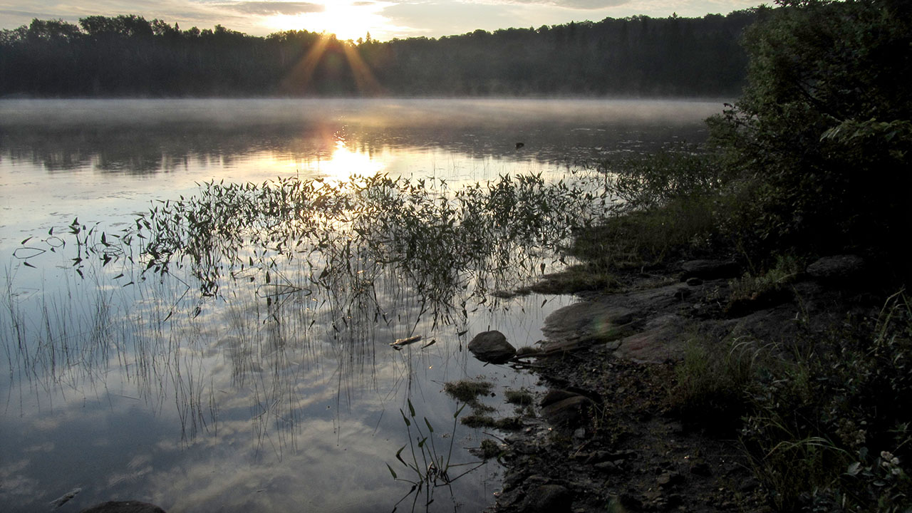
Shallow sloped landing located east of the campsite's shoreline 'rock-porch' ...
![]()
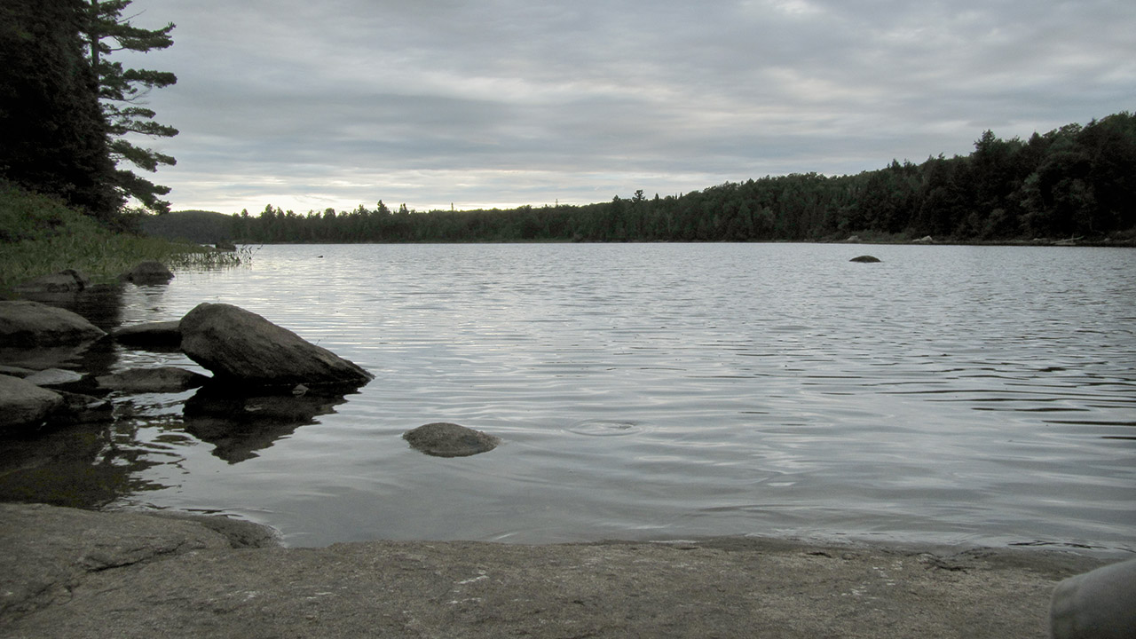
Looking west from the campsite's shoreline 'rock-porch' ...
![]()
Campsite
Regular or low-maintenance: Regular
Size of open ground area: Approximately 20' x 20'.
Extent of tree cover: 90%
Degree of levelness: Acceptably level.
Number of level tent sites: 3.
North exposure: Lakeside view is greatly impeded by trees.
East exposure: Bayside view is also impeded by trees.
South exposure: dense forest.
West exposure: Forest and treed shoreline.
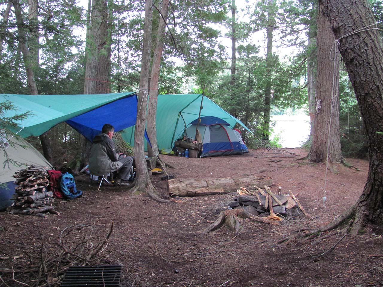
Both the firepit and tentsites are secluded well in from the lake (photo by Bill Warren) ...
![]()
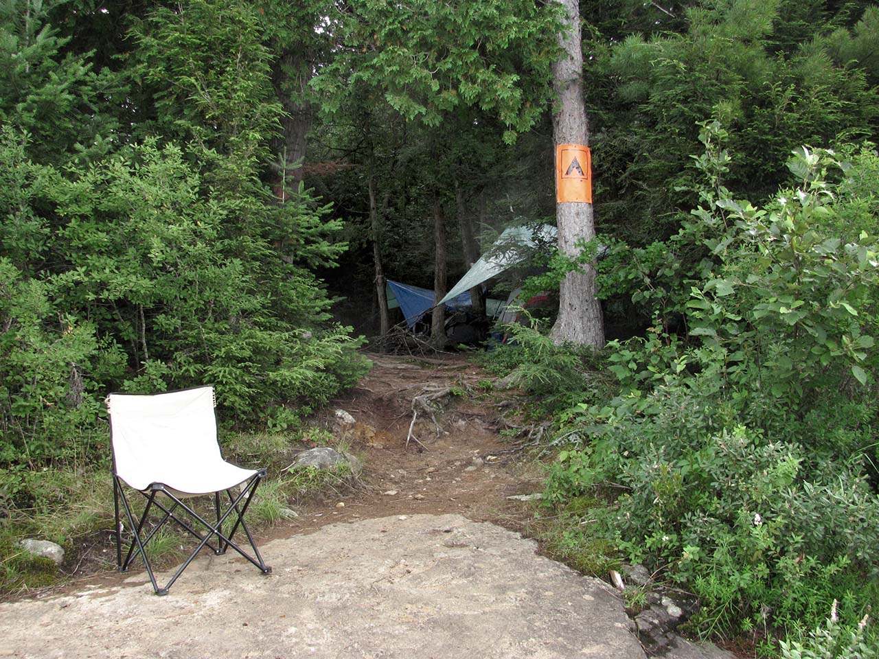
Once you walk out of the treed campsite, you are on the 'rock-porch' (photo by Bill Warren) ...
![]()
General description: If you have launched from the portage from Rock Lake into a strong headwind, this is just across the first bay and the first campsite on the south shore. While it's not an attractive campsite, it is sheltered from the northwest wind.
Overall accessibility: Accessibility from the water is by way of the east part of the shoreline. Some rocks and a small dirt ledge have to be accessed in front of the campsite.

Thanks to Jeffrey McMurtrie of Jeff'sMap for supplying the base-layer map component by Creative Commons licensing.
Submitted by Barry Bridgeford .. Nov. 1st, 2013 .. visited August, 2011