 Lake Louisa Campsite #12
Landing
Topography of under-water approach: Sloped rocks.
Impediments to disembarking from and/or unloading a canoe: Sloped rocks, but there are spaces to pull in and unloading isn’t as difficult as it seems if you pull up sideways.
Topography to tent sites: Minor incline from landing to campsite.
 |
|
| East shore of campsite, from the water. | |
 |
|
| East shore of campsite, from the shore. | |
Campsite
Campsite maintenance: Regular
Open ground area: Not much. Small but cozy.
Extent of tree cover: Very covered with the exception of the sloped rock shoreline.
Degree of levelness: Relatively flat.
Number of tent sites: 2 small to medium sized tent-sites (2-4 people each). Cannot accommodate larger tents.
North exposure: Campsite on a ‘point’, but has tree coverage at the north.
East exposure: Partially exposed.
South exposure: South shoreline of the lake protects campsite from south winds.
West exposure: Tree coverage.
 |
|
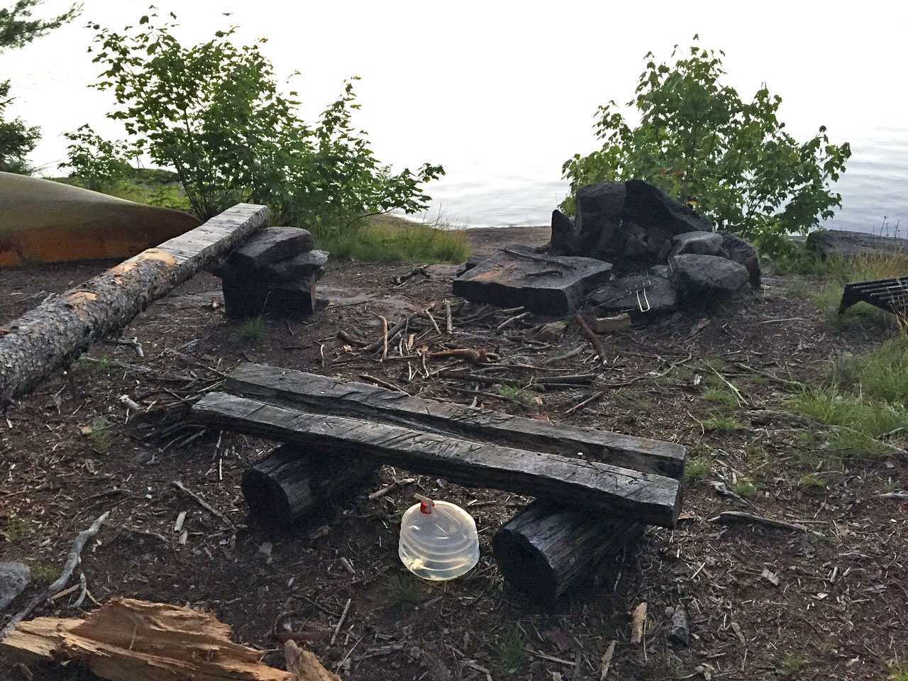
| Fire pit area with 'flat rock' kitchen table. | |
 |
|
| One of two tent-sites, with tent door facing east for the sunrise. | |
 |
|
| One of two other tent-sites. | |
 |
|
| West shoreline 10 to 20 metres behind the campsite. | |
General description: Small but cozy. Perfect for a couple, or small group. Flat rock by fire pit for a ‘table’, but can make it difficult to feed the fire. Great view of sunrise (can pitch tent so door faces east with no tree blockage), and great view of sunset if you walk 10-20 metres behind the campsite to the rocky points. Sloped rocks great to lie on for stargazing. Not ideal for swimming.
Overall accessibility: Slight inconvenience to disembark, but not major. No other issues.

Thanks to Jeffrey McMurtrie of Jeff'sMap for supplying the base-layer map component by Creative Commons licensing.
Submission February 7, 2017 by Cody S. ... visited July, 2016