 Lake Louisa Campsite #10
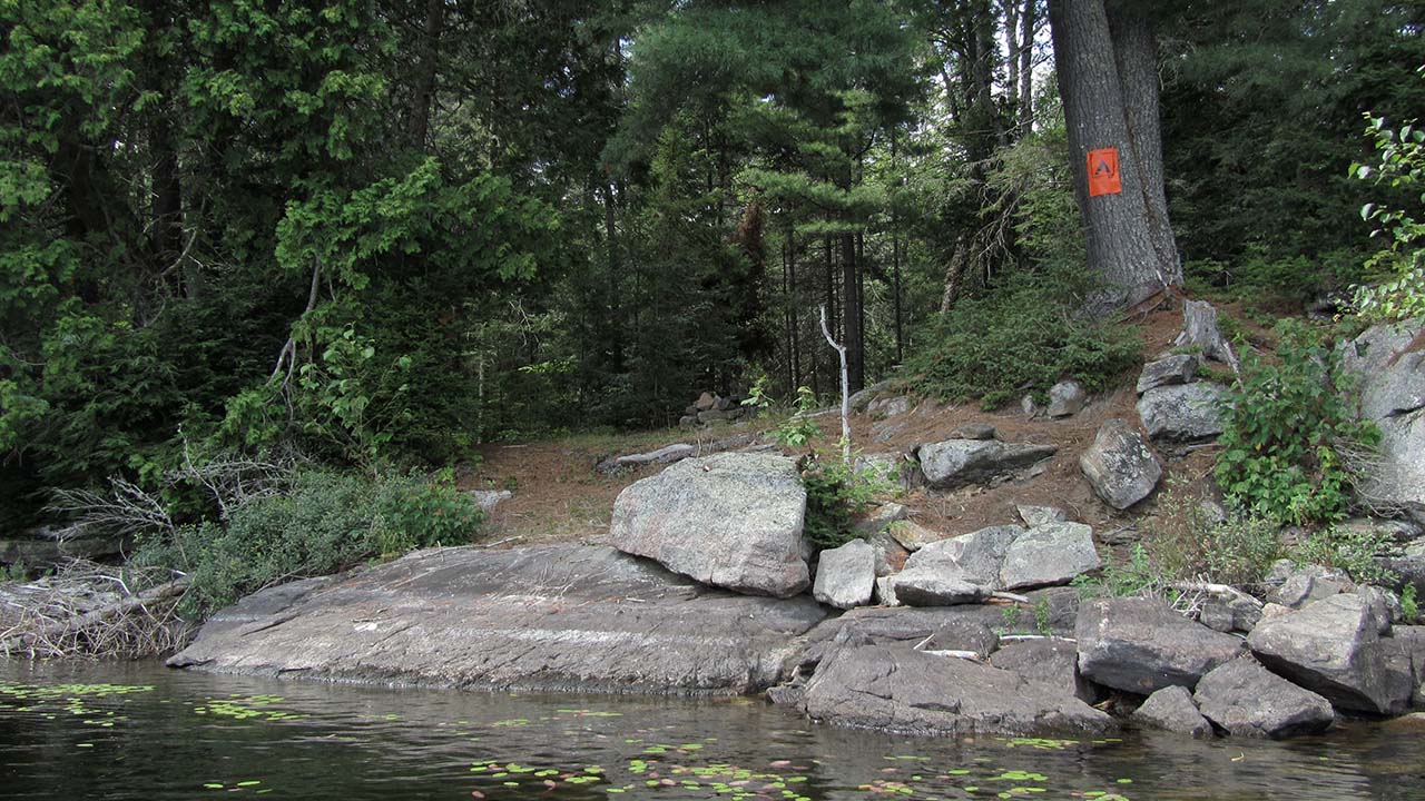
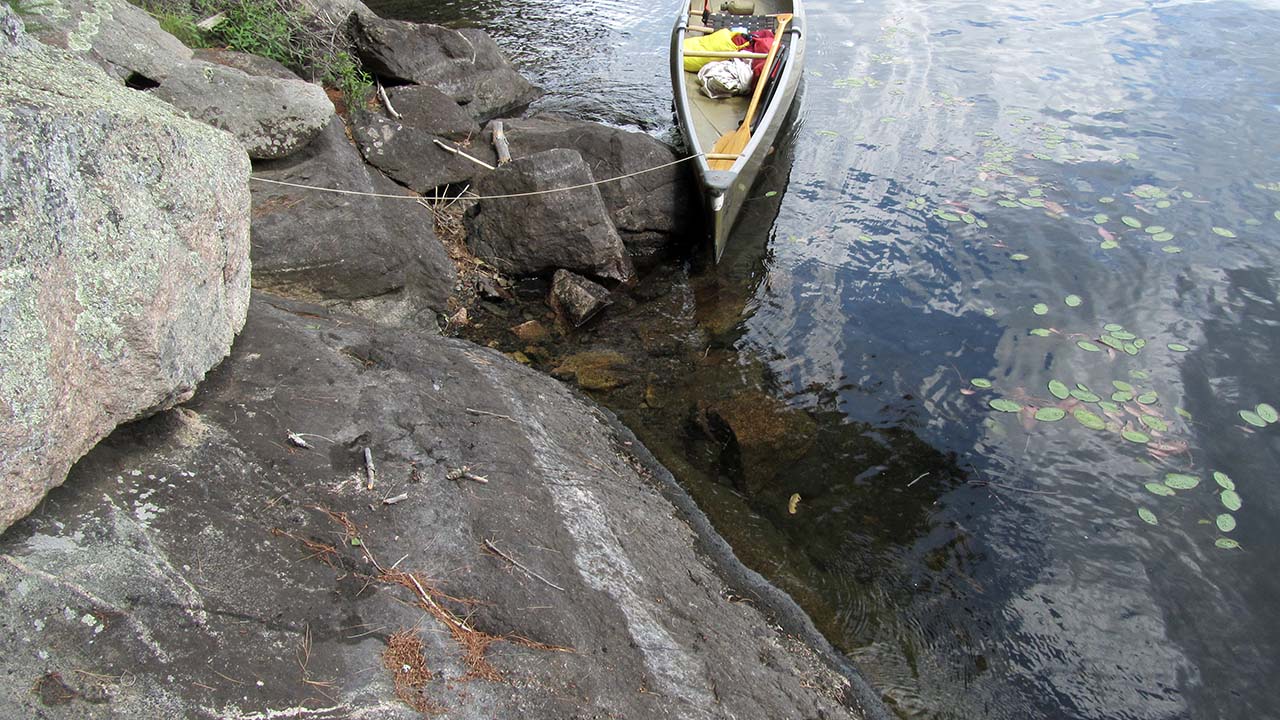
Landing
Topography of under-water approach: Steeply sloping and rough broken rocks.
Impediments to disembarking from and/or unloading a canoe: Rock slope and broken rocks continue up out of the water, impeding unloading of gear and stowing of canoe.
Topography leading to tent sites: Short moderate slope up to campsite clearing.
Left side of landing has steep sloped rock ...
![]()
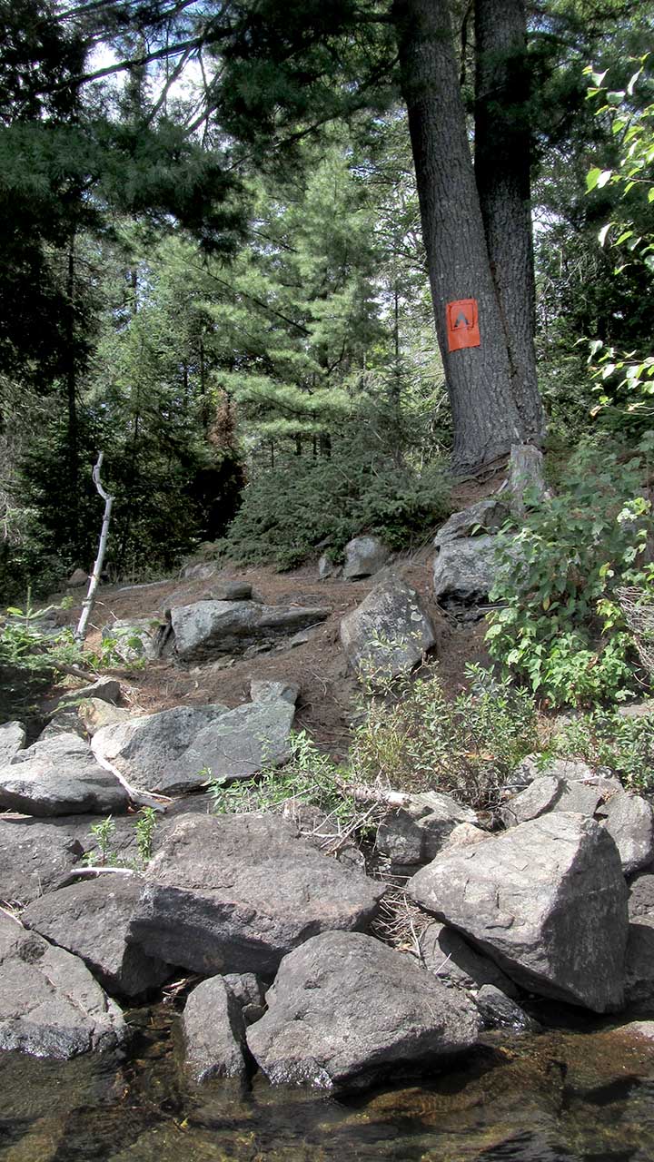
Right side of landing has large broken rocks ...
![]()
One large rock aids in clambering out ...
![]()
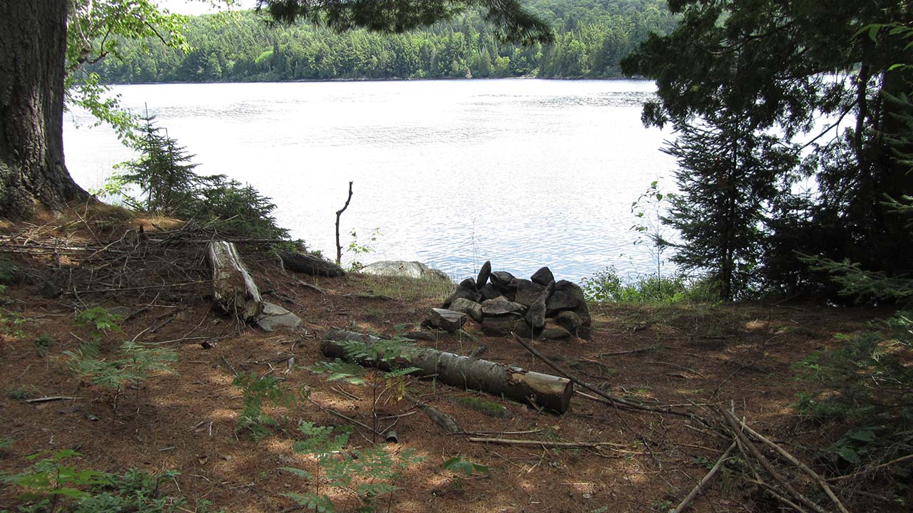
Campsite
Regular or low-maintenance: Regular
Size of open ground area: 10' x 15'.
Extent of tree cover: 75%.)
Degree of levelness: Not very level at all.
Number of level tent sites: Two small ones.
North exposure: Forest.
East exposure: Lake.
South exposure: Forest.
West exposure: Forest.
Firepit is undersized and hasn't seen much use over the years ...
![]()
One of two small and somewhat unlevel tentsites ...
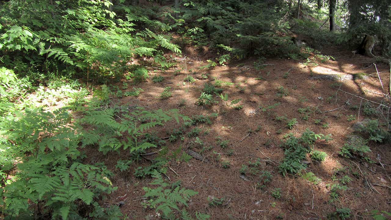
![]()
General description: This very small campsite has a difficult landing, an undersized clearing, a minmalist firepit and next to no view. It shows little indication of having been used very much, for those very obvious reasons!
Overall accessibility: Very poor accessibility.

Thanks to Jeffrey McMurtrie of Jeff'sMap for supplying the base-layer map component by Creative Commons licensing.
Submitted by Barry Bridgeford .. Nov. 1st, 2013 .. visited August, 2011