 915 Meter Portage From Maple Creek To Kioshkokwi Lake
Length of portage: 915 meters.
Portage maintenance regular or low: Regular.
Upstream elevation above Sea Level on Maple Creek is 329 meters (approximate).
Downstream elevation above Sea Level on Kioshkokwi Lake is 301 meters.
Difference in elevation: 28 meters (approx.).
Elevation of highest point: 330 meters. Overall rise/fall: 29 meters (approximate).
(Above data is extracted from 'Jeff's Map'.)
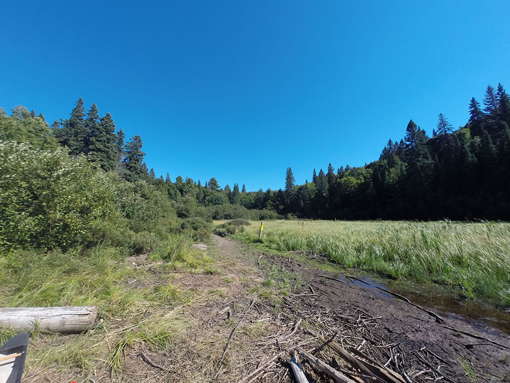
Upstream Landing on Maple Creek
Co-ordinates of location: N46° 03.257' W78° 52.736'
Topography of under-water approach: Rock and mud.
Impediments to disembarking from and/or unloading a canoe: Gear must be carried from canoe over rock, mud, and standing water.
Topography of the ascending grade: Some rocks are scattered on the path.
Either side of the rock is a good approach ...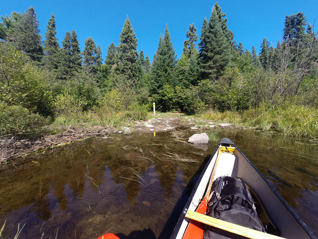
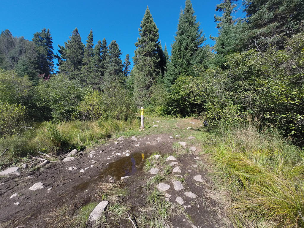
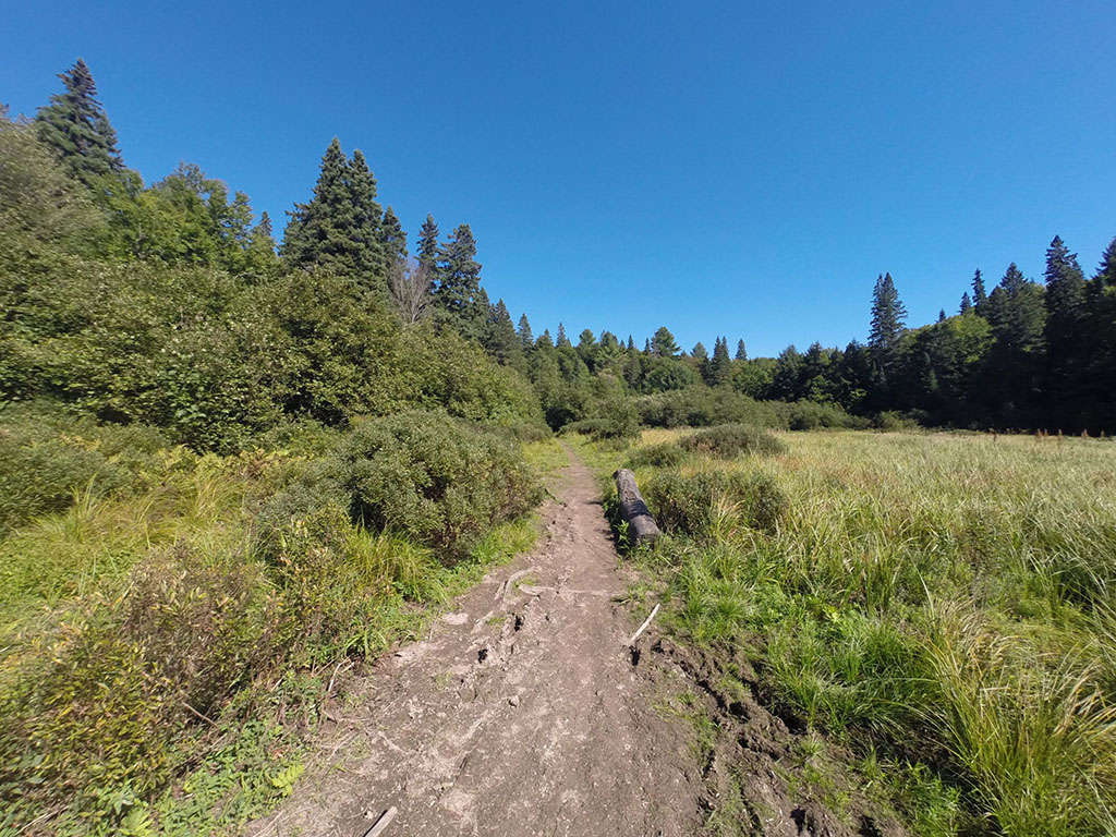
Portage Trail
General description: The southern portion of the trail is rather level, while the northern section has a significant elevation change.
Topographical impediments to travelling: Some rocks and roots.
Areas susceptible to impact by periods of rain or beaver flooding: The beginning of the trail at the lake end could be affected by lake levels and excessive rainfall.
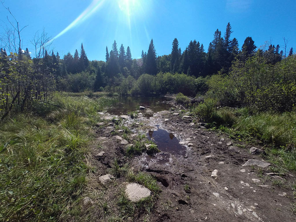
Downstream Landing on Maple Creek
Co-ordinates of location: N46° 03.573' W78° 53.070'
Topography of under-water approach: Silt and mud.
Impediments to disembarking from and/or unloading a canoe: Make sure your shoes are tied up. You could lose them in the mud.
Topography of the ascending grade: No ascending grade. Smooth path.
Impediments to moving gear to portage trail: The landing area is one large mud flat. Where one would actually land and unload will change depending on the water level of the lake, or amount of rainfall.
This could change significantly because of the water level of the lake ...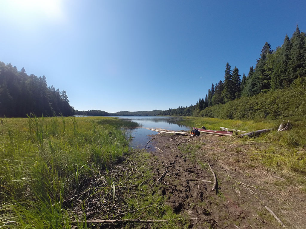
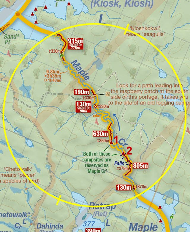
Thanks to Jeffrey McMurtrie of Jeff'sMap for supplying the base-layer map component by Creative Commons licensing.
Submitted by Chris Taylor, visited September 2014, submitted November 1, 2014