 Kioshkokwi Lake Campsite #7
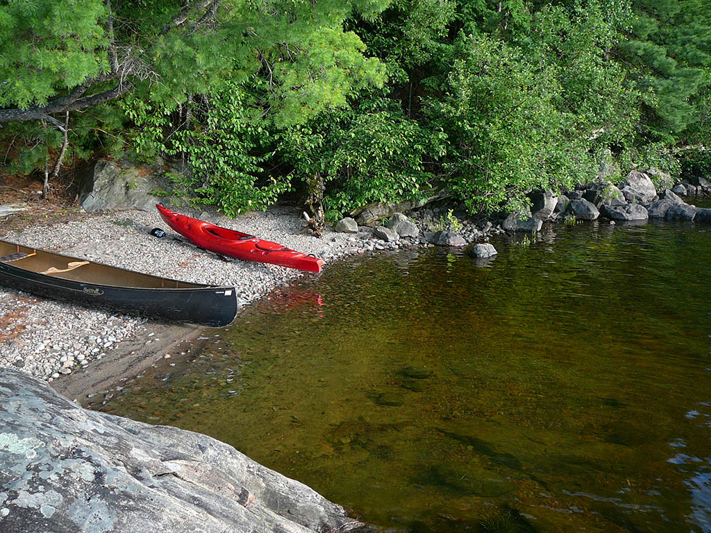
Landing
Topography of under-water approach: Main landing area at south end of site is mainly gravel and small rock. Second landing area (to the north) is rock with a significant drop off.
Impediments to disembarking from and/or unloading a canoe: None at the main landing area. The second landing would require a lift up to the rock.
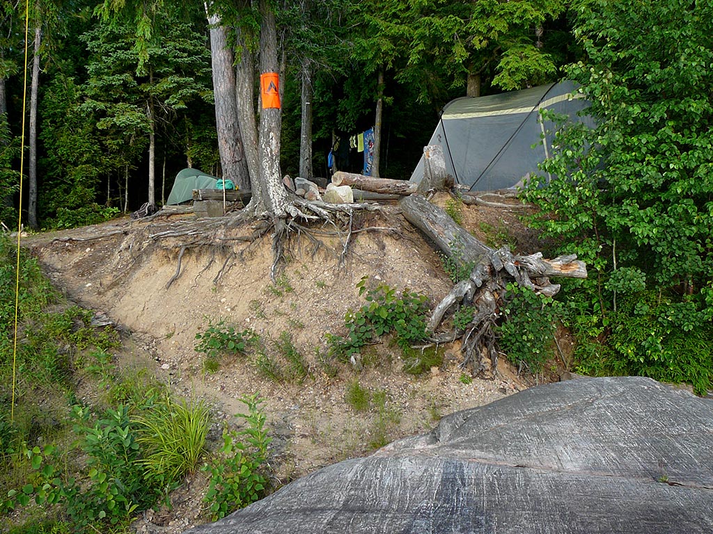
Topography leading to tent sites: From the main landing area, there's a 1 meter step up to the rock fronting this site. Then there's a 2 meter climb to the firepit area. The second landing area has steps up to site. It is possible to carry from main landing to the steps.
Small rocks/gravel cover the beach landing area ...
![]()
Path from the beach follows the erosion up to site ...
![]()
Looking down the path, back down to the rocks and beach ...

![]()
Stairs leading up from the second landing area ...

![]()
Campsite
Regular or low-maintenance: Regular.
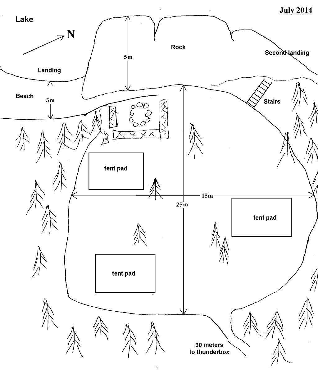
Size of open ground area: See sketch.
Extent of tree cover: 60% cover, with front of site being open.
Degree of levelness: Steep slope. It wouldn't be possible to stay on this site without the levelled tent pads.
Number of tent sites: 3 levelled tent pads (1 small pad and 2 larger pads)
North exposure: An open view of lake from the firepit.
East exposure: Trees.
South exposure: Trees, open view to SSE of cove next to site (from the firepit).
West exposure: Lake.
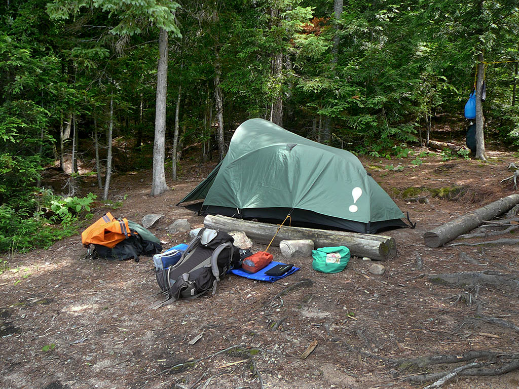
Smallest of the 3 tent pads. Pictured is a 2-man tent ...
![]()
General description: There is a significant slope from the back to the front of this site. The levelled tent pads are an absolute requirement. Sunshine completely hits the front of the site by mid-morning, and the firepit area shortly after, with the back of the site always in shade. The site is completely exposed to the west with an open view from the firepit and the large rock at the front. A good site for sunning, swimming and fishing.
Overall accessibility: While the beach landing poses no problems, the carry to the site starts with a 1 meter step up onto the large rock at the front of the site. Then one either takes a somewhat steep 2 meter climb following the erosion up to the site, or one carries across the rock to the stairs. Alternatively, the climb from the rock at the second landing is aided by the steps. However, disembarking at this landing could be a bit more of an issue.
![]()
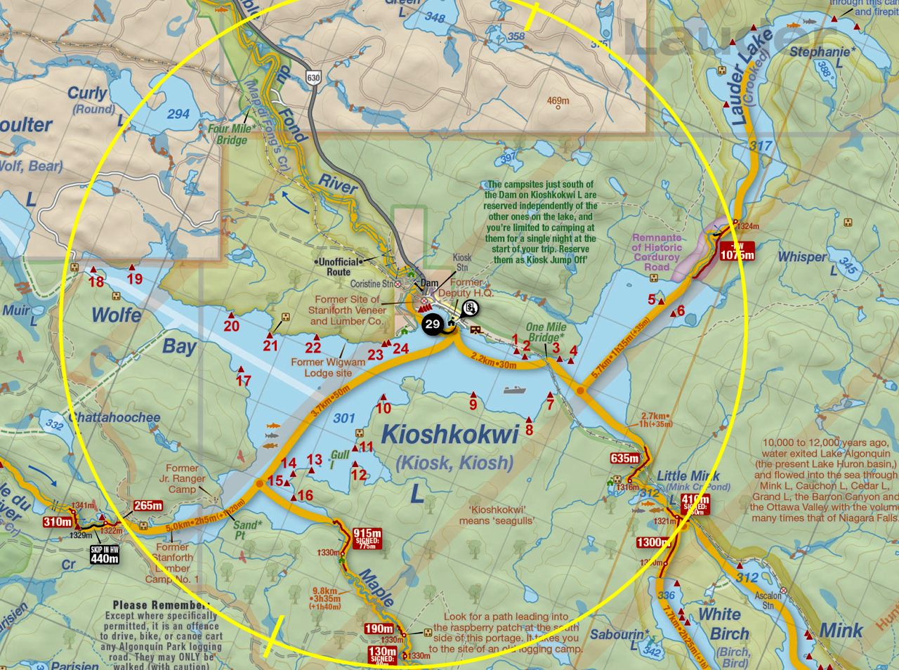
Thanks to Jeffrey McMurtrie of Jeff'sMap for supplying the base-layer map component by Creative Commons licensing.
Submission October, 2014 by Chris Taylor .. visited July, 2014