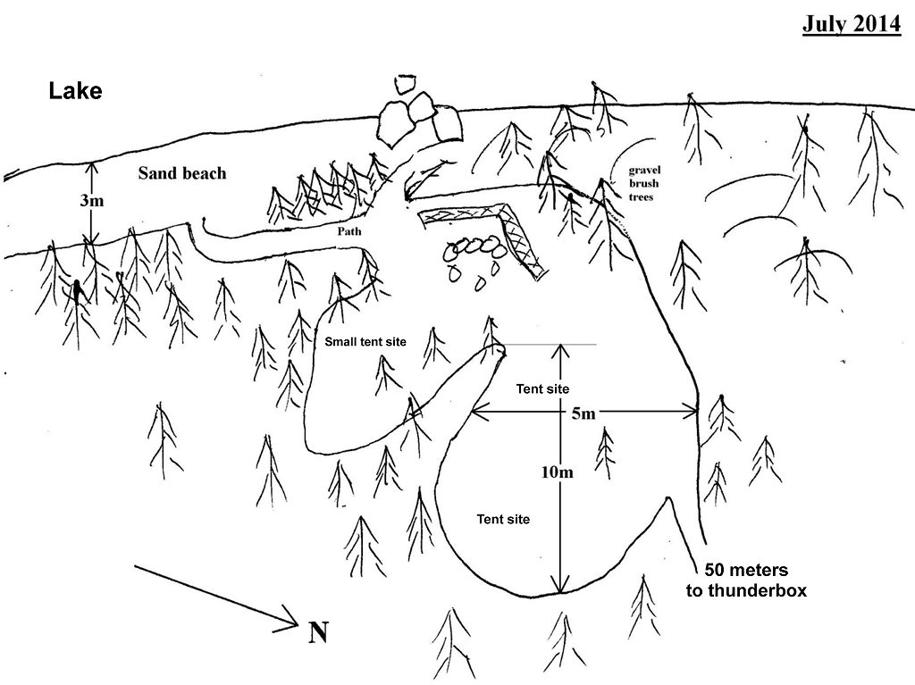
 Kioshkokwi Lake Campsite #6
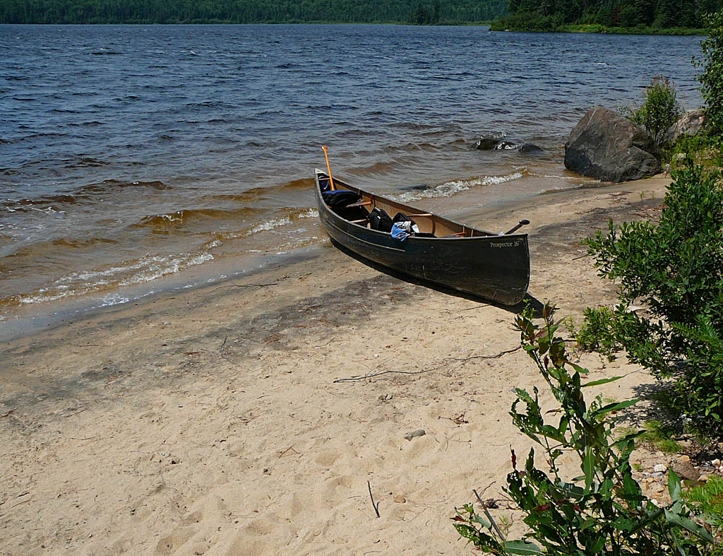
Landing
Topography of under-water approach: : Sand, knee deep water 2m from shore.
Impediments to disembarking from and/or unloading a canoe: None.
Topography to tent sites: 8 meter path ending at firepit, rise of 3 meters.
Bottom of path leading to beach ...
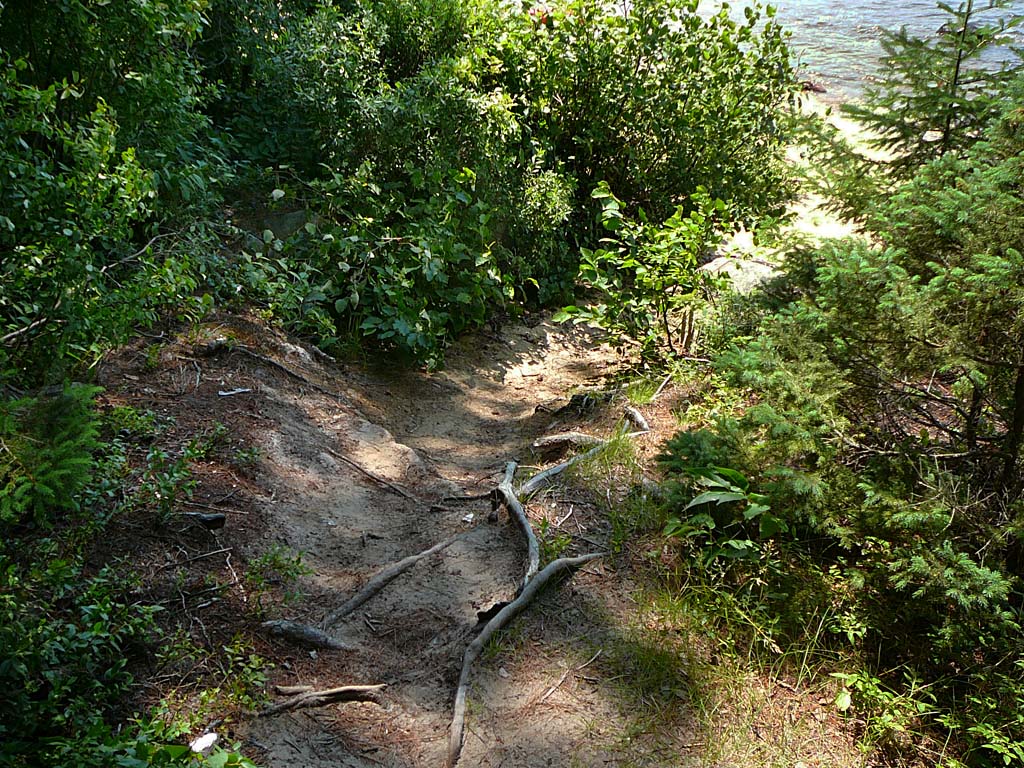
![]()
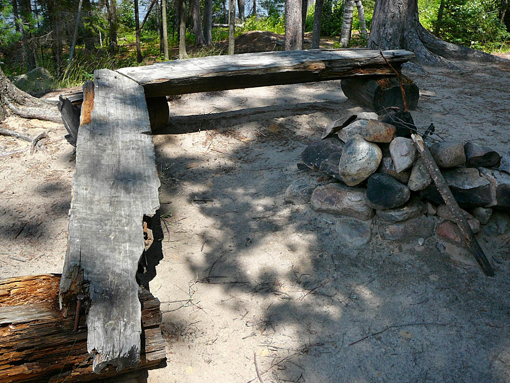
Top of path leads to firepit ...

![]()
Campsite
Regular or low-maintenance: Regular.
Size of open ground area: see sketch.
Extent of tree cover: 50% with little to no cover at tent pads.
Degree of levelness: 2 distinct levels (1 meter) with both levels being relatively flat.
Number of tent sites: 4+.
North exposure: lightly treed.
East exposure: lightly treed.
South exposure: trees.
West exposure: lake view.
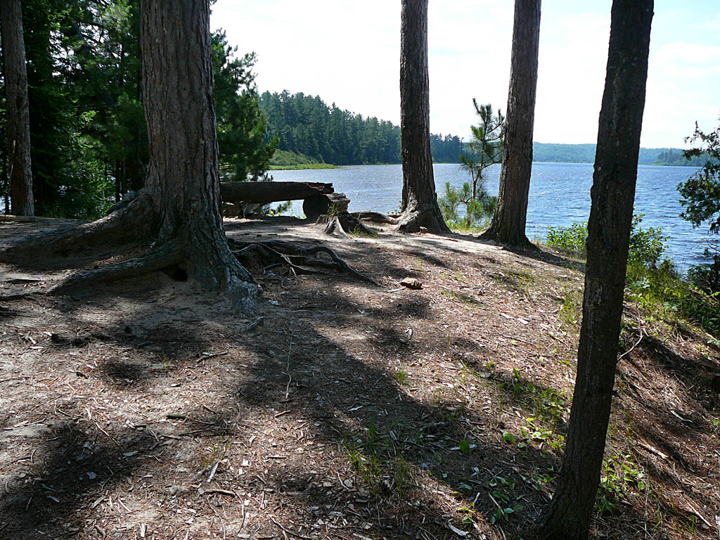
Firepit sits atop a 3 meter rise with a clear westerly view of the lake ...
![]()
Looking west ...
![]()
Tent pads .. not much blocking a view of the sky ...
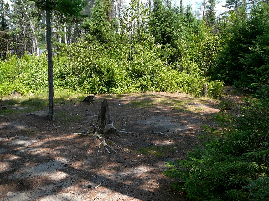
![]()
A 100 meter sandy beach goes with this site ...
![]()
General description: Open to the north and west winds, with no place to hide. After a 3 meter rise, it is a very flat site on two levels. A small tent pad is on the same level as the fierpit. A large tenting area is on the other level, and is completely open to the stars. It could be either the view from the firepit at sunset, or the sandy beach that makes this a such a nice summer site.
Overall accessibility: Landing and disembarking pose no problems. There's a fairly gentle path up to the site.
![]()
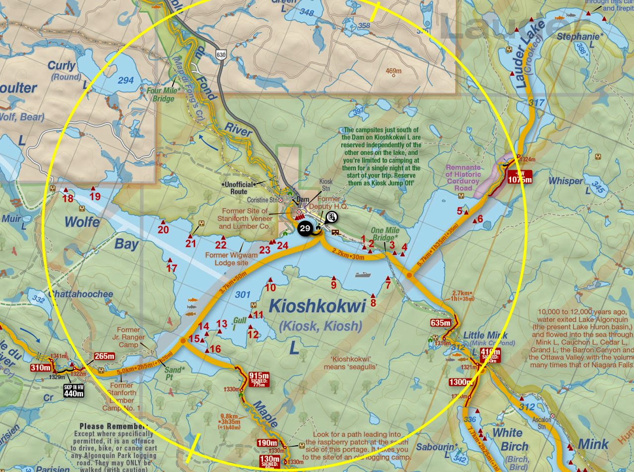
Thanks to Jeffrey McMurtrie of Jeff'sMap for supplying the base-layer map component by Creative Commons licensing.
Submission October, 2014 by Chris Taylor .. visited July, 2014