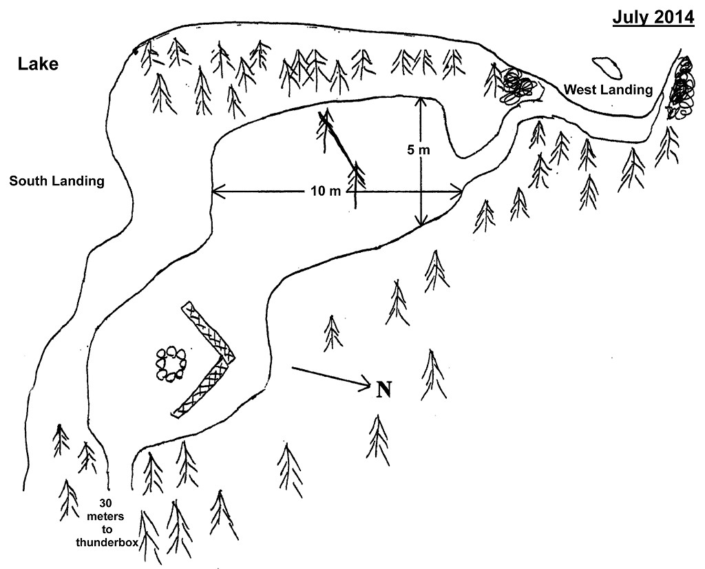
 Kioshkokwi Lake Campsite #5
Landing
Topography of under-water approach: South landing has gravel with a quick drop-off. West landing is gravel with some rocks and a fairly shallow approach.
Impediments to disembarking from and/or unloading a canoe: None at either landing. South landing is good for one canoe at a time and is well protected from the predominant west wind.
Topography leading to tent sites: Less than a 1 meter rise to site. There is a short rocky section leading in from the west landing.
Landing at south shore near firepit ...
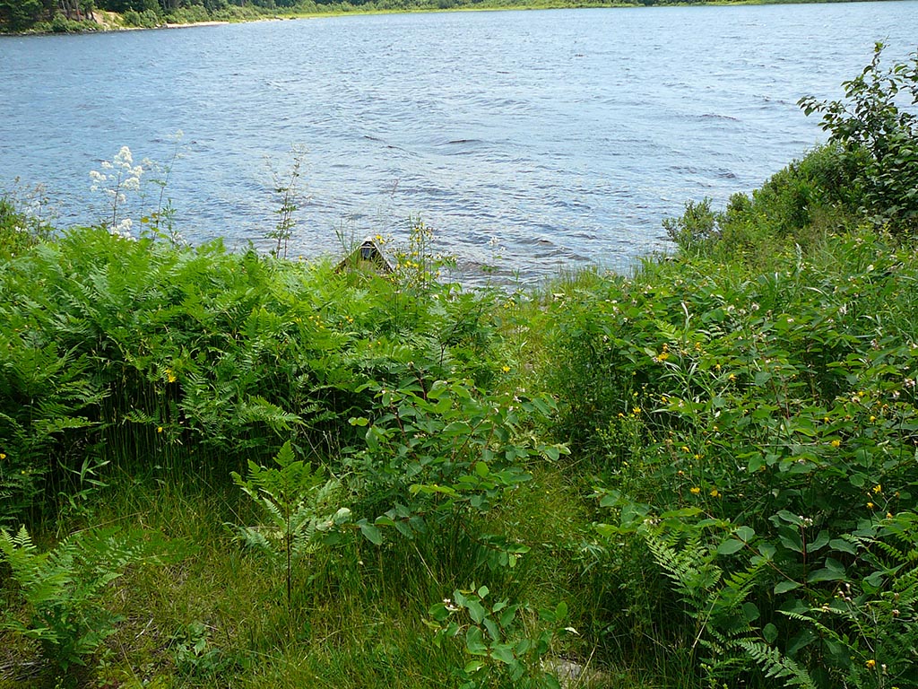
![]()
Landing on western side of site ...
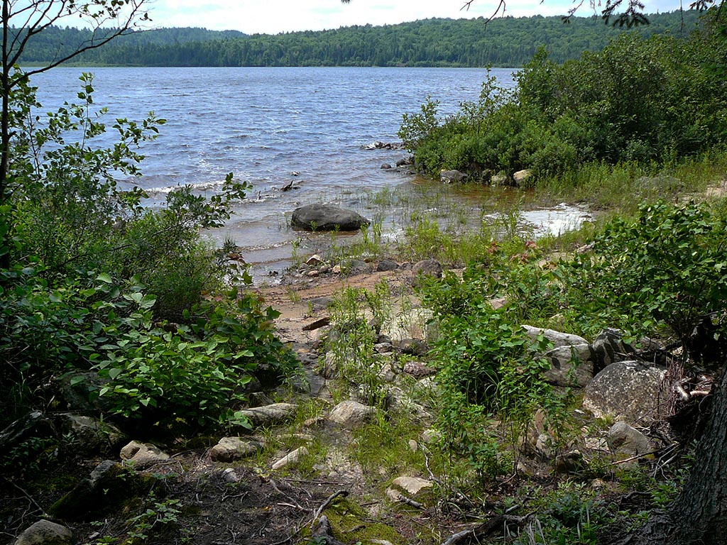
![]()
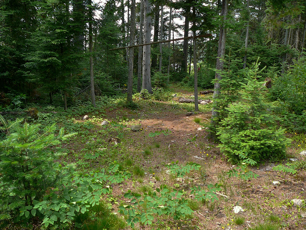
Path leading to western landing ...

![]()
Campsite
Regular or low-maintenance: Regular.
Size of open ground area: see sketch.
Extent of tree cover: 40%.
Degree of levelness: very level.
Number of tent sites: Numerous.
North exposure: Trees.
East exposure: Trees.
South exposure: Open view of lake and island to south.
West exposure: Open only at western landing.
There's a path that leads to a new thunderbox ...

![]()
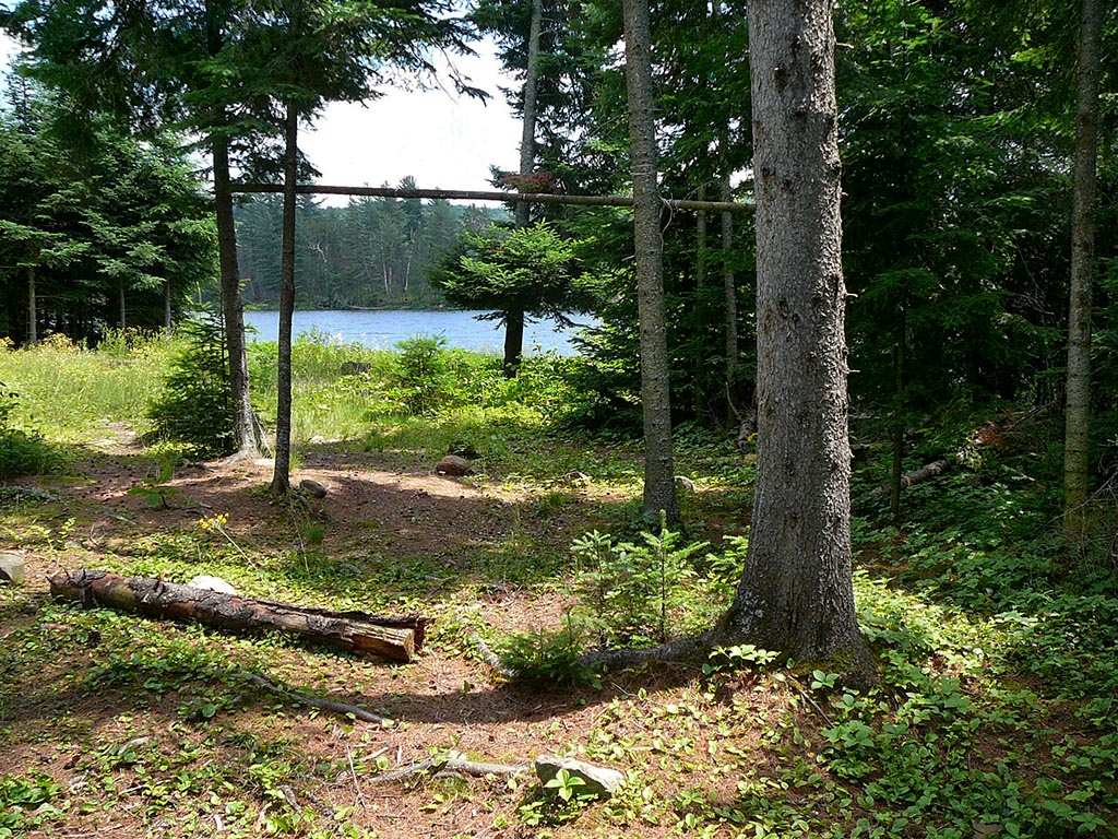
Looking toward the west landing ...
![]()
Looking at the south landing from path to west landing ...
![]()
General description: This site was visited in mid-July and there wasn't any sign that this site had been used during the year. This site is open to the sky as most of the trees are on the perimeter. It is well protected from all wind except a wind from the south. A very level site, with numerous tent placement options, though it was hard to tell due to the long grasses growing. There are also potential tent pads just to the north of the firepit, as this area is sparsely treed and fairly level.
Overall accessibility: Very accessible. Landing on the south shore is only a couple of meters from the site. Landing on the west shore is a bit further, but very level walk.
![]()
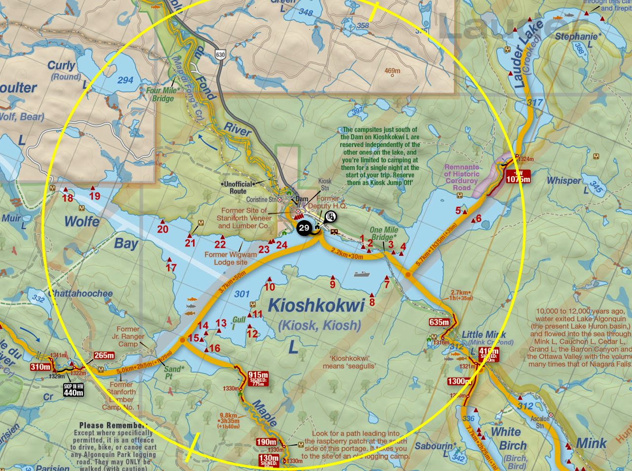
Thanks to Jeffrey McMurtrie of Jeff'sMap for supplying the base-layer map component by Creative Commons licensing.
Submission October, 2014 by Chris Taylor .. visited July, 2014