 Booth Lake Campsite #4
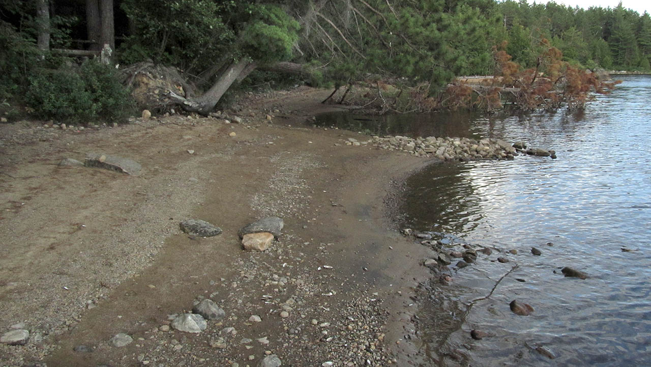
Landing
Topography of under-water approach: Sand and gravel beach (spotted with rocks) extends far out from the campsite.
Impediments to disembarking from and/or unloading a canoe: None.
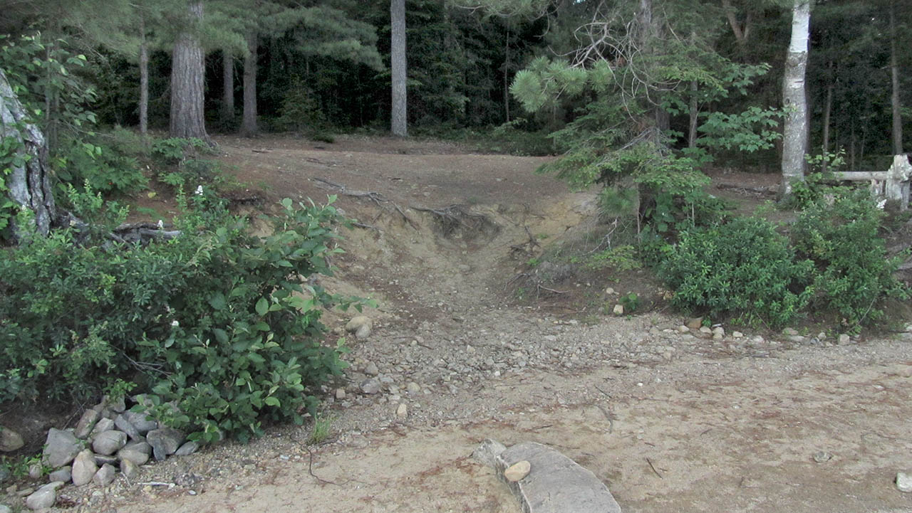
Topography to tent sites: A short climb up a sand and gravel slope to tentsites.
Beach landing ...
![]()
Climb up to the actual campsite ...
![]()
Campsite
Campsite maintenance: regular
Size of open area: It has a large open area which is an old abandonned road-bed.
Extent of tree cover: Tree cover over most of the campsite. However, an open area bisects the site where the old roadbed runs.
Degree of levelness: The tentsites, firepit and thunderbox are on a smooth level (the old roadbed), with a slight slope toward the lake.
Number of level tent sites: Ample tentsite areas for many tents.
North exposure: Solid forest blocks the north wind.
East exposure: The forest blocks the view and east wind.
South exposure: With the exception of a few view-breaking bushes, the south exposure is of the lake.
West exposure: The northwest exposure is to the forest, with the exception of the open swath where the old roadway runs. The true-west exposure is along the shoreline.
The firepit has a slight slope toward the drop down to the beach ...

![]()
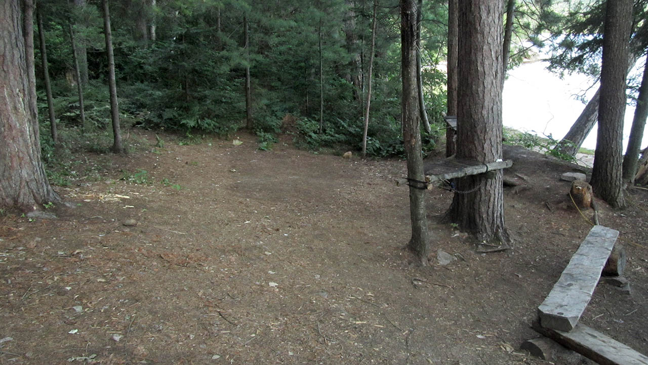
Tentsites east of the firepit have a slight slope toward the lake ...
![]()
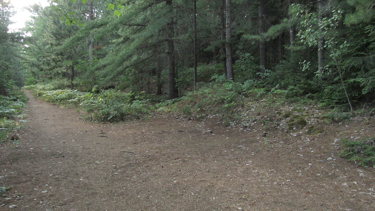
More tentsites on the old roadbed to the west, which are absolutely level ...
![]()
General description: This campsite is good for large groups. However, it is not a particulary sunny site. In the busy season, it may have the odd camper hiking on the old roadbed and passing right through the campsite.
Overall accessibility: The short slope up from the beach is this site's only accessibilty issue.
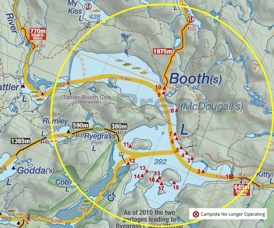
Thanks to Jeffrey McMurtrie of Jeff'sMap for supplying the base-layer map component by Creative Commons licensing.
Submission October 20, 2013 by Barry Bridgeford .. visited July 18, 2012