 Big Trout Lake - Campsite #12
Landing
Topography of under-water approach: Fist sized rocks and gravel, knee deep at the shore with a quick drop-off.
Impediments to disembarking from and/or unloading a canoe: Room for one canoe at a time. Must unload onto a small grassy area.
Topography leading to tent sites: Very short carry, slightly uphill.

|
|
| View of landing area from firepit. | |
Campsite
Campsite maintenance: Regular.
Size of open area: 15m x 5m.
Extent of tree cover: 70% mostly at back of campsite.
Degree of levelness: Noticeable slope from back of site to lake.
Number of level tent sites: 2.
North exposure: trees and slight view of lake.
East exposure: trees.
South exposure: obstructed view of lake (trees on site and island directly to south).
West exposure: partially obstructed view of lake.
General description: The length of this campsite follows the western shore, and slopes to the landing area at the southern edge. There are a couple of flat areas for tents, one at the highest point of the site, and the other flat area closer to the firepit. A nice firepit with a great western view from the firepit area.Overall accessibility: Small landing area, but otherwise no accessibility issues.

|
|
| View from south edge of campsite. | |

|
|
| Firepit with a great western view. | |
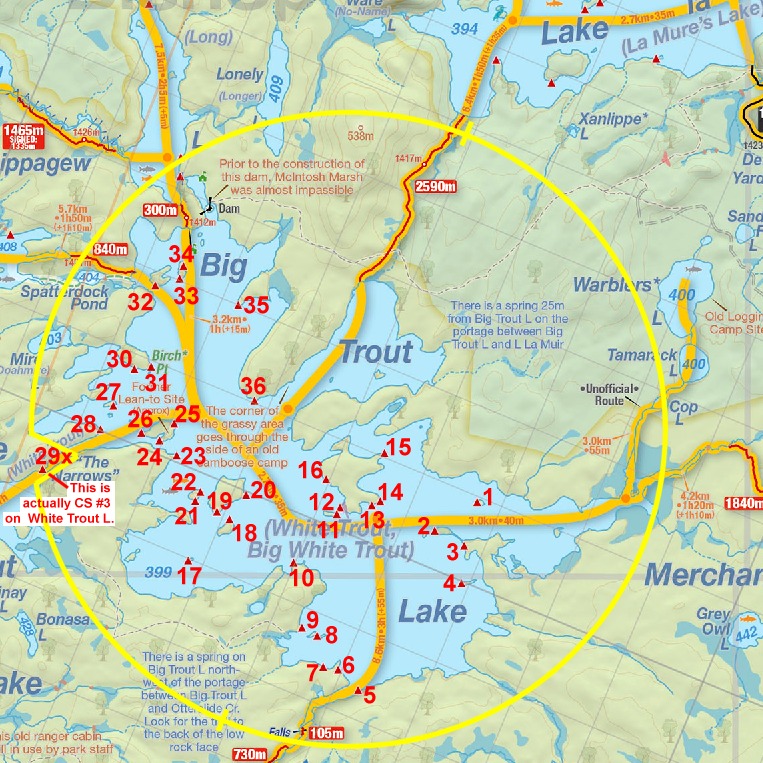
Thanks to Jeffrey McMurtrie of Jeff'sMap for supplying the base-layer map component by Creative Commons licensing.
Submitted by Chris Taylor .. Visited July, 2017 .. Submission April, 2020