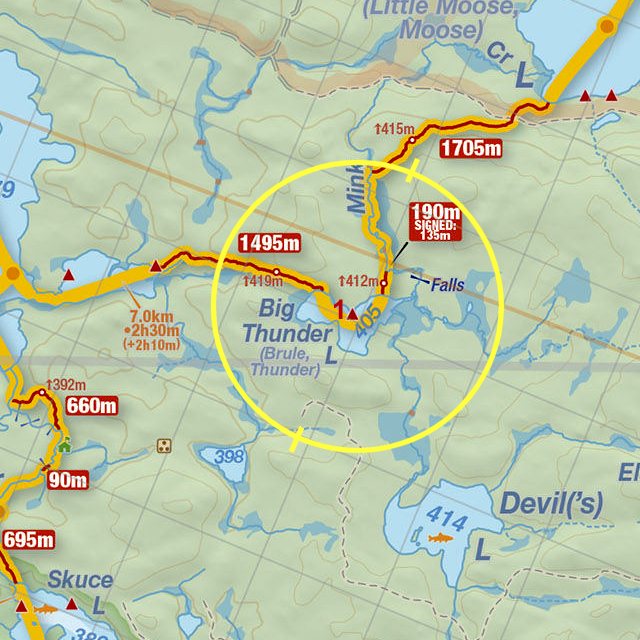
 Big Thunder Lake to Erables Lake Portage
Length of portage: 1495 meters.
Portage maintenance regular or low: Regular.
Elevation above Sea Level @ Big Thunder Lake is 405 meters (approx.).
Elevation above Sea Level @ Erables Lake is 379 meters.
Difference in elevation: 26 meters.
Elevation of highest point: 419 meters. Overall rise/fall: 40 meters.
(Above data extracted from 'Jeff's Map')
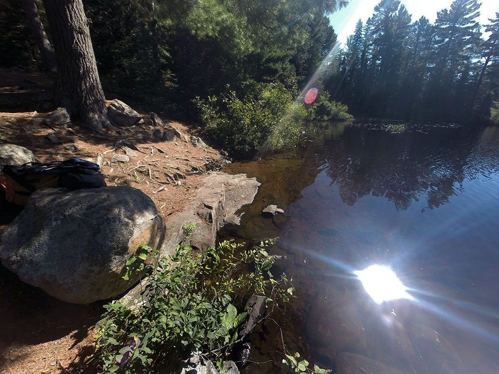
Landing at Big Thunder Lake
Co-ordinates of location: N45° 59.782' W78° 44.690'
Topography of under-water approach: Rock, sand and silt, with a drop-off.
Impediments to disembarking from and/or unloading a canoe: Some rocks and roots to watch for.
Topography of the ascending grade: Fairly level to haulage area.
Impediments to moving gear to portage trail: Rocks and roots make for uneven ground at the haulage area where several canoes can be placed.
Approaching the portage ...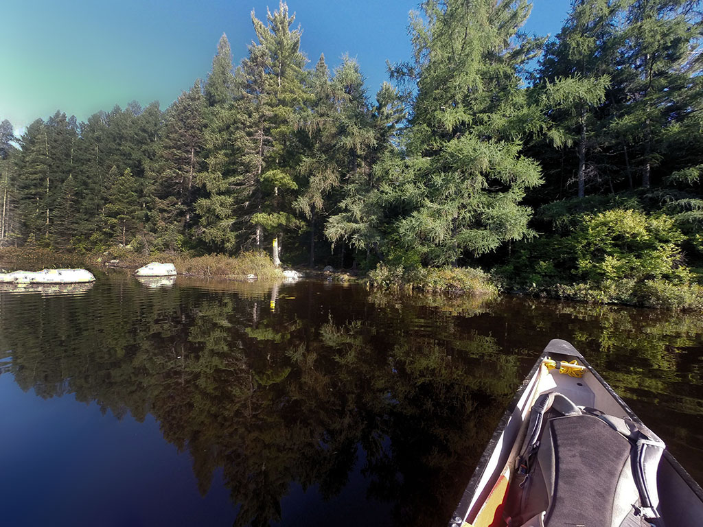
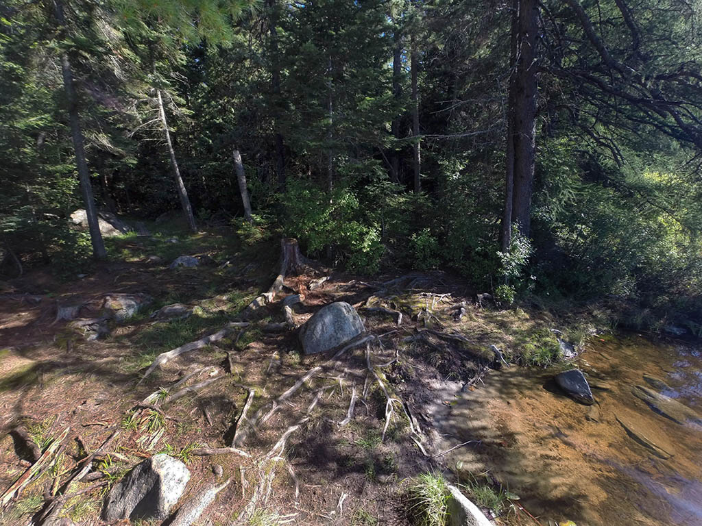
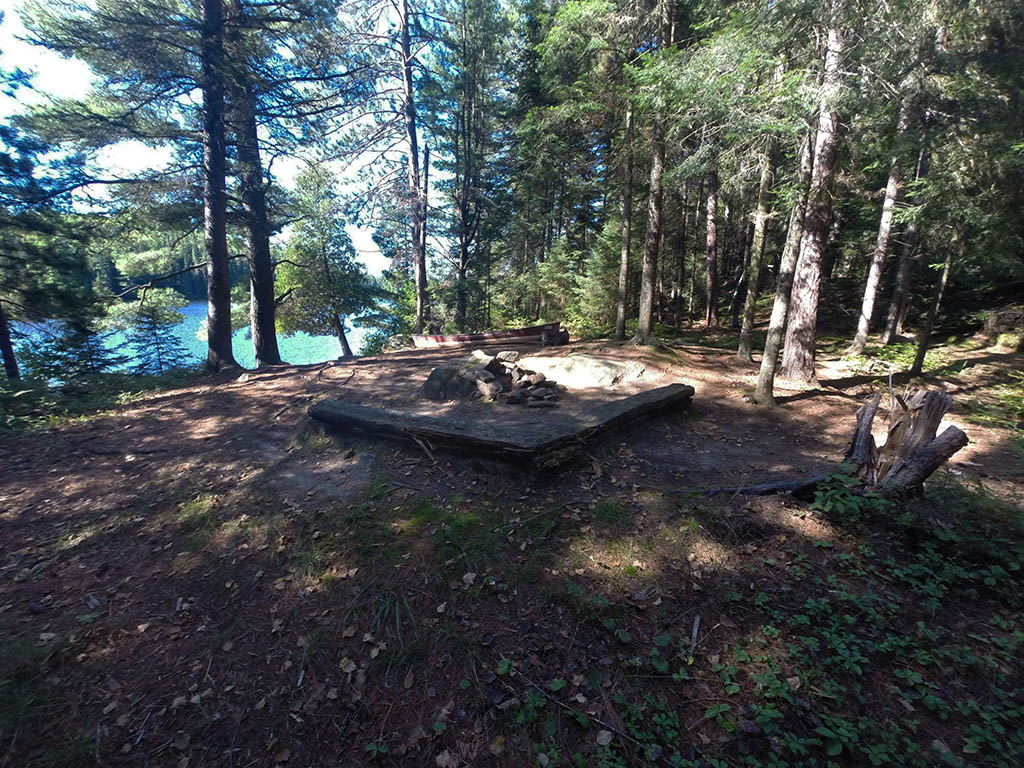
Portage Trail
General description: The first 100m is level, the next 1400m is a constant elevation change. One must constantly be on vigil because the first 1000m of this portage is composed of mainly rocks and roots. The last 500m is a nice smooth path that ends at the campsite at Erables Lake. Overall, a challenging portage.
A note about the campsite: The campsite is the haulage area. Thou not a large site, there is room and sufficient level area for several tents to be set up.
Topographical impediments to travelling: The rocks and roots are so predominant on the first 1000m of this trail, that you must constantly watch where you are placing your feet. Failure to do so, could result in a twisted ankle or worse.
Areas susceptible to impact by periods of rain or beaver flooding: None noticed.
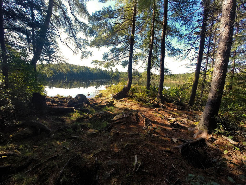
Landing at Erables Lake
Co-ordinates of location: N45° 59.622' W78° 45.695'
Topography of under-water approach: Rock with a fairly quick drop-off.
Impediments to disembarking from and/or unloading a canoe: None.
Topography of the ascending grade: A 3m climb on rocks and roots to reach haulage/campsite area.
Impediments to moving gear to portage trail: None.
Lake view of landing ...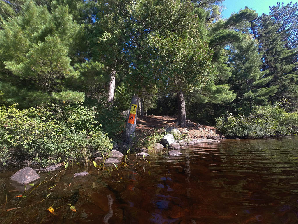
Thanks to Jeffrey McMurtrie of Jeff'sMap for supplying the base-layer map component by Creative Commons licensing.
Submitted by Chris Taylor, visited September 2014, submitted October 26, 2014