 Big Thunder Lake Campsite #1
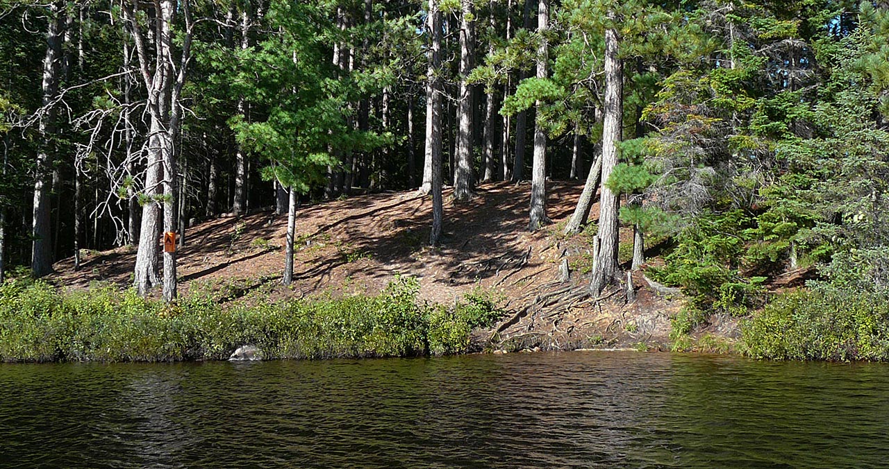
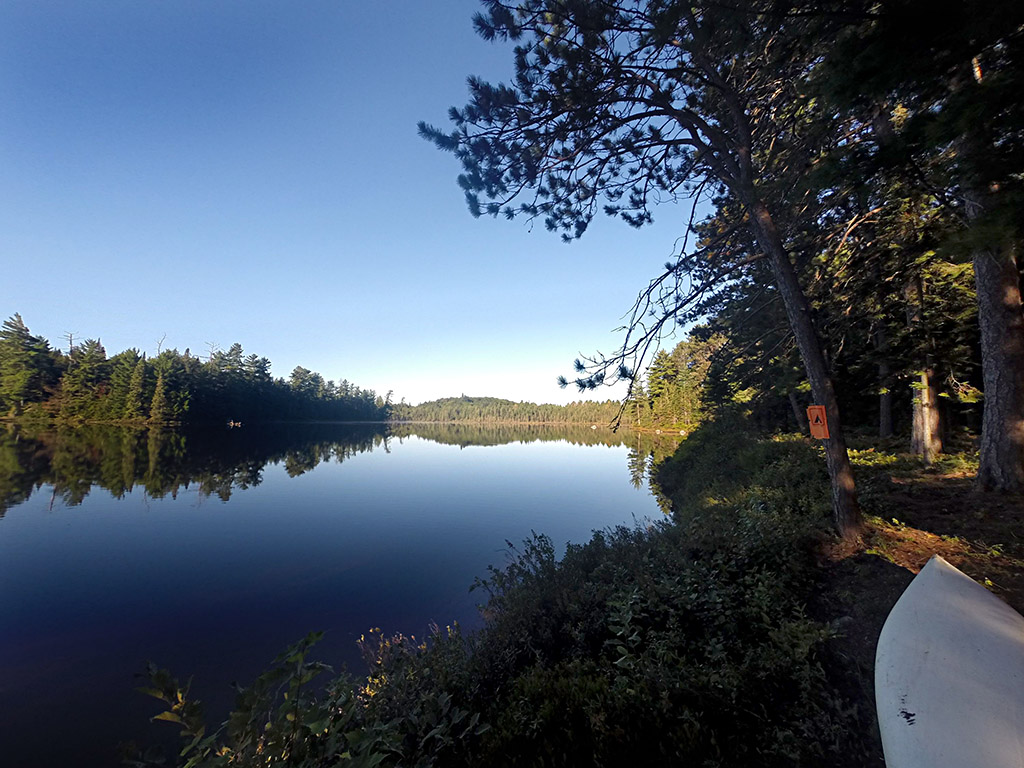
Landing
Topography of under-water approach: Shallow with sand bottom
Impediments to disembarking from and/or unloading a canoe: Room for one canoe to disembark at a time. Unloading area is very rooty and any cargo must be moved immediately away from the area. There is a 2nd landing on the southern point that could be used, but is quite a carry to the site and there is no distinct path. The only advantage would be a less steep climb.
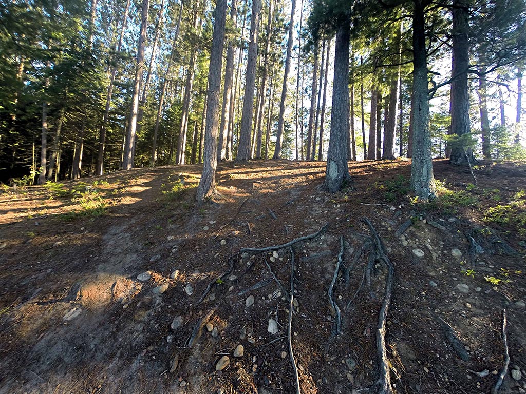
Topography leading to tent sites: Steep climb of approx 4 meters.
Lake view of approach to site, a small landing. ...
![]()
Not an easy climb to the site ...
![]()
Campsite
Regular or low-maintenance: Regular.
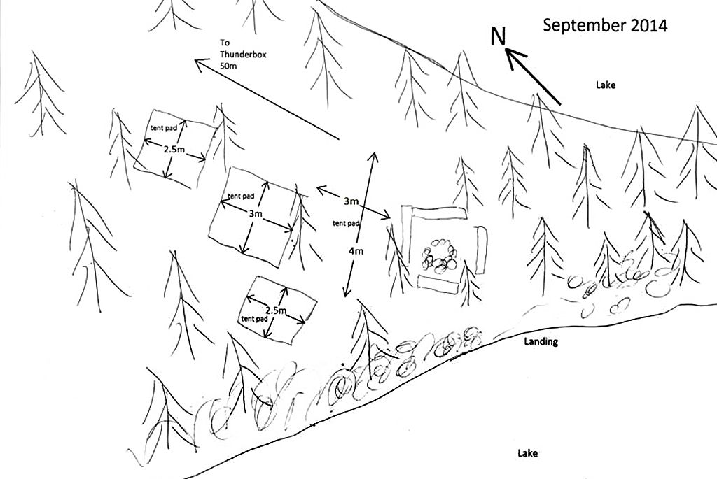
Size of open ground area: see sketch.
Extent of tree cover: 80%.
Degree of levelness: Level, once up on the actual site.
Number of tent sites: 4 distinct pads, but more options are available.
North exposure: Trees.
East exposure: Trees - slight view of lake.
South exposure: Trees - slight view of lake.
West exposure: View of lake from front of site, trees at back.
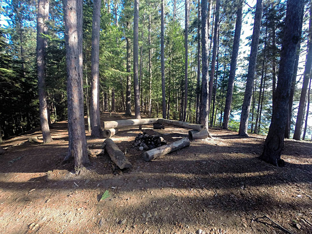
Looking north to firepit, and tent pads behind ...
![]()
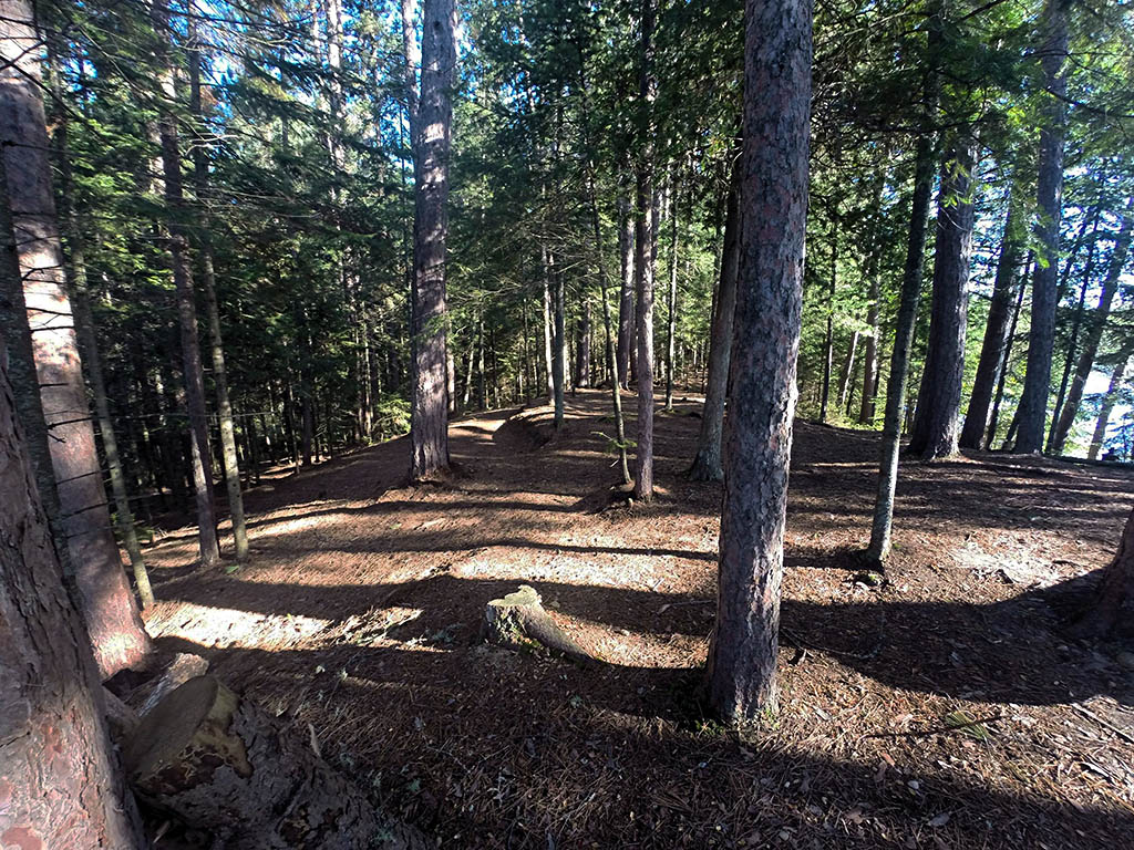
Looking north at tent pads and trail to thunderbox ...
![]()
Looking west from shore ...
![]()
General description: This is a long narrow site that is heavily treed. It is not very well protected from wind because of the size of the old growth trees and elevation above the lake. The front of the site gets sun for most of the day, while the back gets little. It's a fairly level site with 3 levelled tent pads and a larger natural area just behind the firepit. There are many other places that could be used to set up a tent if required.
Overall accessibility: The climb to the site could be challenging. And in wet weather, caution is needed.
![]()
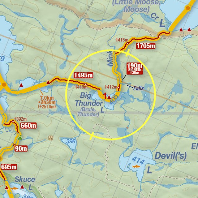
Thanks to Jeffrey McMurtrie of Jeff'sMap for supplying the base-layer map component by Creative Commons licensing.
Submission October, 2014 by Chris Taylor .. visited September, 2014