 Portage 310 meters - On the Amable du Fond River
Length of portage: 310 meters (signed at 285 meters).
Portage maintenance regular or low: Regular.
Landing at east (downstream) end
Topography of under-water approach: Small rock and gravel in shallow water.
Impediments to disembarking from and/or unloading a canoe: Landing is quite small, a couple of canoes could unload but it would be crowded..
Topography of the ascending grade: Smooth, wide path.
Impediments to moving gear to portage trail: Steps have been placed in the washed out path from the landing to the staging area.
Approaching the portage ...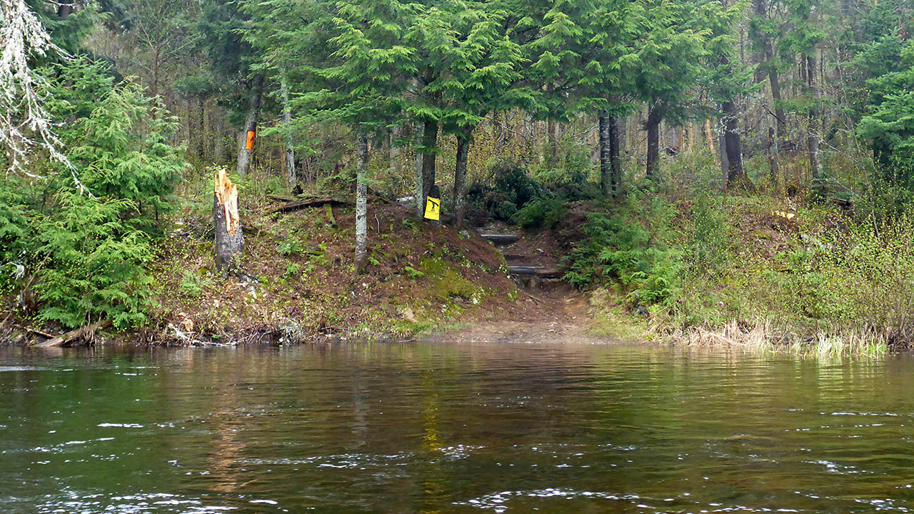

Portage Trail
General description: Topographical impediments to traveling: Areas susceptible to impact by periods of rain or beaver flooding.
Trail offers a view of the Amable du Fond River ...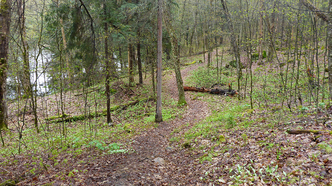

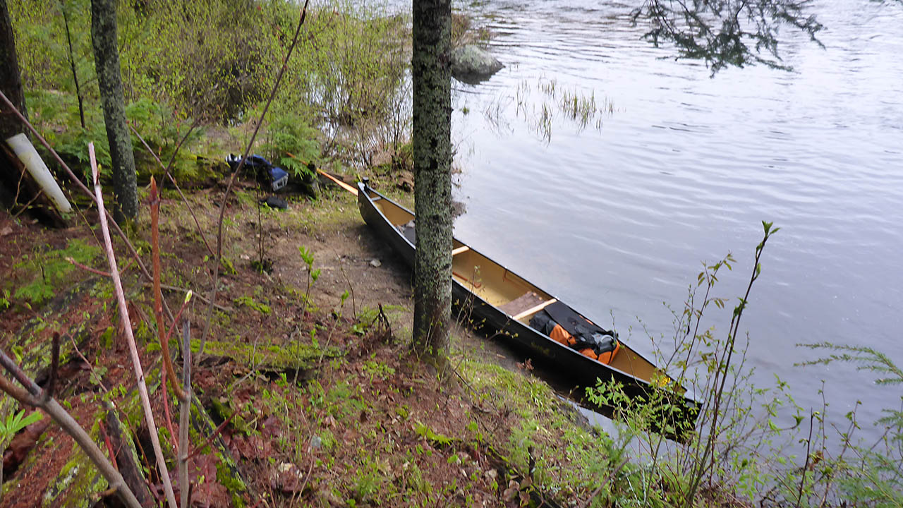
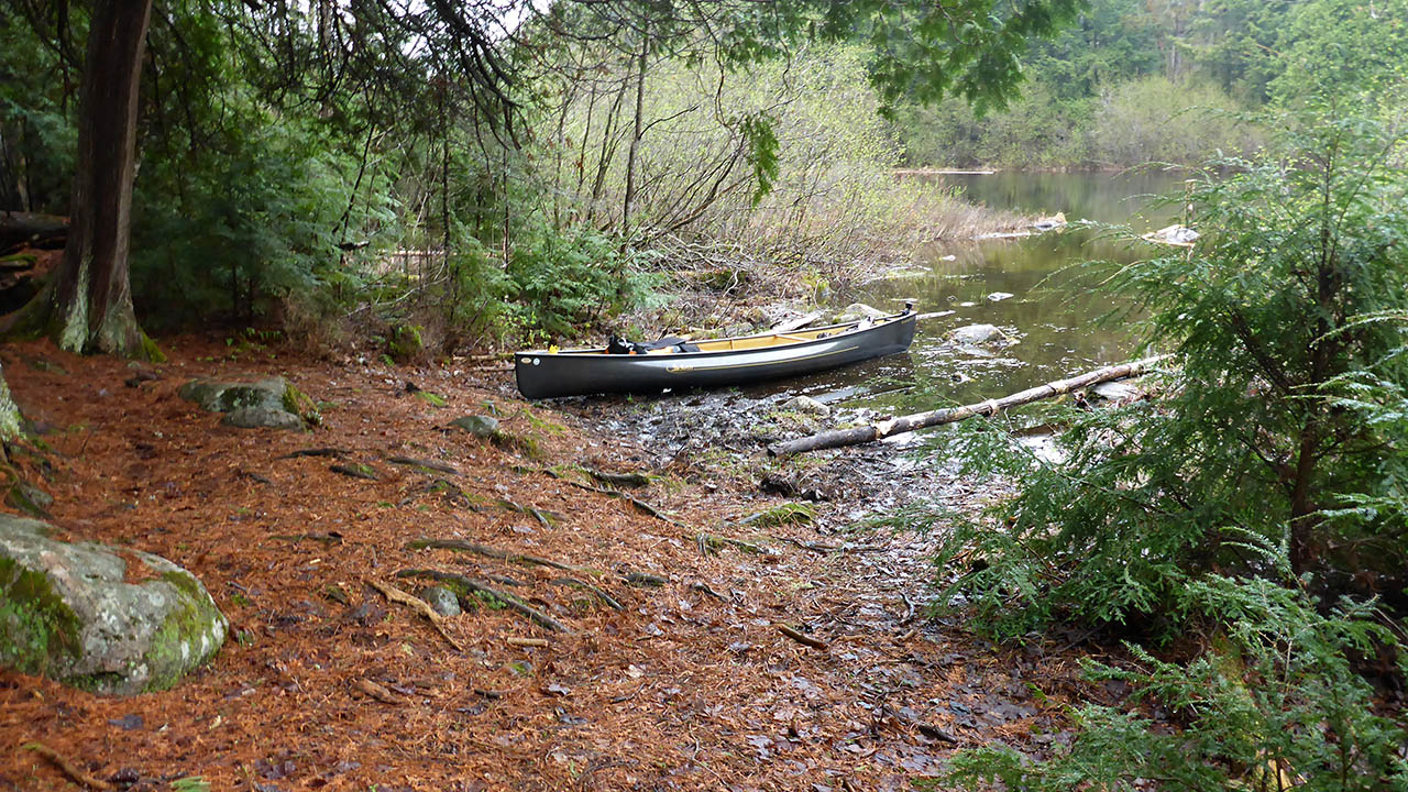
Landing at west (upstream) end
Topography of under-water approach: Small rock, mud and silt in shallow water.
Impediments to disembarking from and/or unloading a canoe: None
Topography of the ascending grade: Wide path that is fairly level.
Impediments to moving gear to portage trail: None
Some boulders to navigate at the landing ...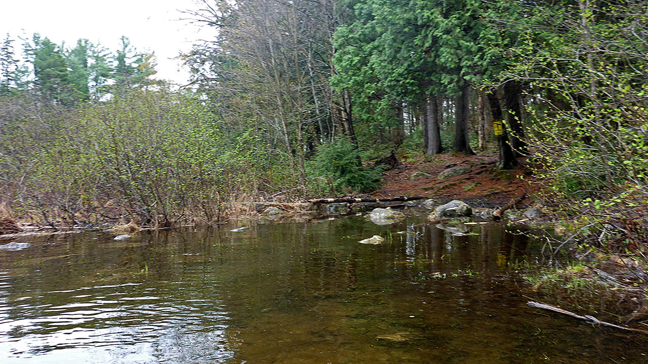
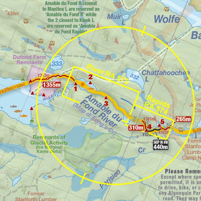
Thanks to Jeffrey McMurtrie of Maps By Jeff for supplying the base map.
Submitted by Chris Taylor, visited May 2015, submitted September 30, 2019